Russell Field Shelter (4,344 feet) mile 180.8 to Derrick Knob Shelter ( 4,830 feet) mile 189.8 for a total, for me, of 9 miles. Ascended 2,817 feet and descended 2,305 feet for a grade of 565 feet per mile.
Today was probably, or at least seemed like, the hardest 9 miles and the hardest day I had since I started. It may have been because I went 16 miles yesterday, I don’t know. Kelly, my hiking partner, went 13 miles yesterday and today she went 12, so I know it was harder for her.
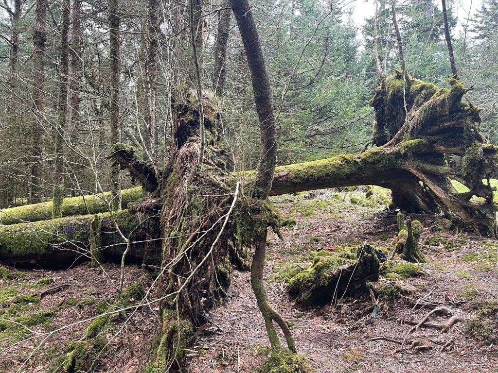
The trail had very few flat walking miles, I would bet there was not more than a 3/4 mile stretch of flat at one point on trail today. It was up and down all day long, the ups and the downs were both long and steep! It made for a difficult day and everyone at the shelter tonight was saying they thought it was just them.
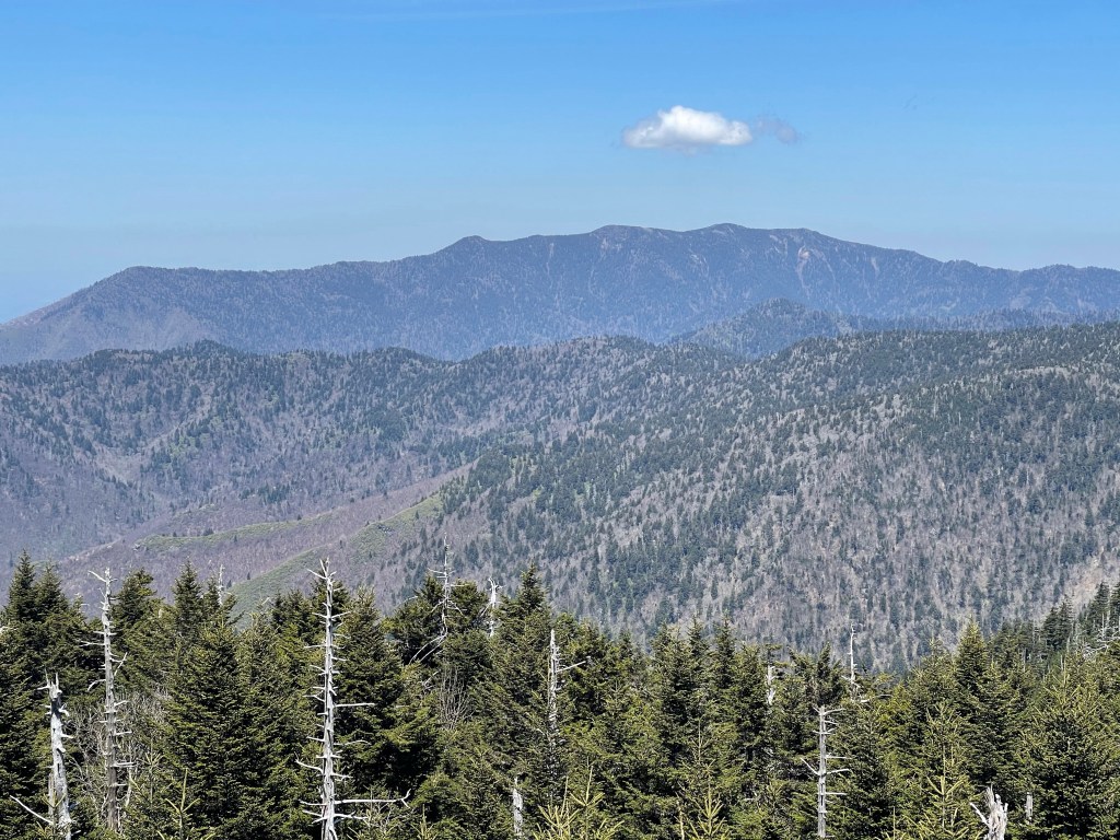
Today, part of our hike went up and over Rocky Top (5,422 feet) which is a sub peak of Thunderhead Mountain (5,520 feet), and is also the theme song for the Tennessee Volunteers, “Good ole rocky top, rocky top Tennessee”.

It was an absolutely amazing view, the picture does it no justice at all. From here, we could see, Lake Fontana, Shuckstack fire tower which we crossed yesterday, we could also see Clingmans Dome, which we will climb tomorrow, the highest point on the AT and the third highest peak east of the Mississippi River, preceded by (2) Mt Washington, New Hampshire (1) Mt. Mitchell, North Carolina.
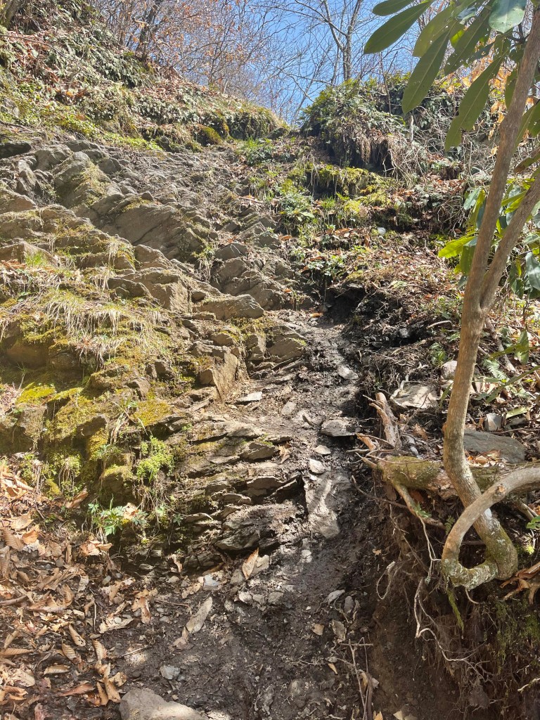
From here we had a very steep and rocky descent and then we went up and right back down another steep rocky descent. The rocks were not big giant rocks that would be easy to bounce to and from on, no, they were small to medium pieces of flat limestone rocks that would slid and move at will. Heard of a few people behind us that rolled and twisted ankles, most of them, as one has to do out here, pressed on slowly and made it into camp.
We went down another steep descent into Starky Gap (4,473 feet), this was up 203 feet and then down 612 feet, all in a mile with a grade of 890 feet per mile.
We went up and back down into another gap and then from there we began our final climb for the day, up 501 feet in a mile! It was such a relief to come over the top, right into the Derrick Knob Shelter! There were several good tent sites left so I found myself one several hundred feet from the shelter pitched my tent and started the wind down routine.
AT Thru-Hike Day 21
Derrick Knob Shelter ( 4,830 feet) mile 189.8 to Mt Collins Shelter (5,830 feet) mile 202.8 for a 13.3 mile day. We ascended 4,008 feet and descended 2,820 feet for a grade of 527 feet per mile.
Well, today, there were several monumental moments on trail. We climbed and crossed the highest elevation on the entire 2,193.1 mile Appalachian Trail and it is also the 200 mile mark! We have hiked 200 miles in 21 days. Those are actual on trail days, it does not take into account our zero and Nero days. A zero is a day of rest where we walk zero miles, a nero, on the other hand, is a day where we walk nearly zero miles.
We start a nero tomorrow and then a zero Thursday and Friday amid another nero Saturday. After this weekend we will be trying to up our miles and cut down the number of zero days to one.
We left the shelter today and started out on our hike, it was a nice climb, fairly steady up hill, remember, we are walking to the top of Clingmans Dome, the third highest point east of the Mississippi River! We stopped at the first shelter, Silers Bald Shelter (5,439 feet), mile 195.5 to refill water and eat a snack.

From here, we continued up hill for just two miles to the second shelter, I do not understand the spacing of these shelters in the National Park, nor the lack of privy’s at all the shelters. Double spring Gap shelter was the next one and it had a privy, we stopped there briefly and then carried on our way, up hill.
Today was a favorite day, because we went into one of my favorite forests, a fur pine forest!! It smelt heavenly, Kelly liked it because it hide my oder as we walked. I liked it because it reminds me of high school and the green pine tree air freshener hanging from my rear view!
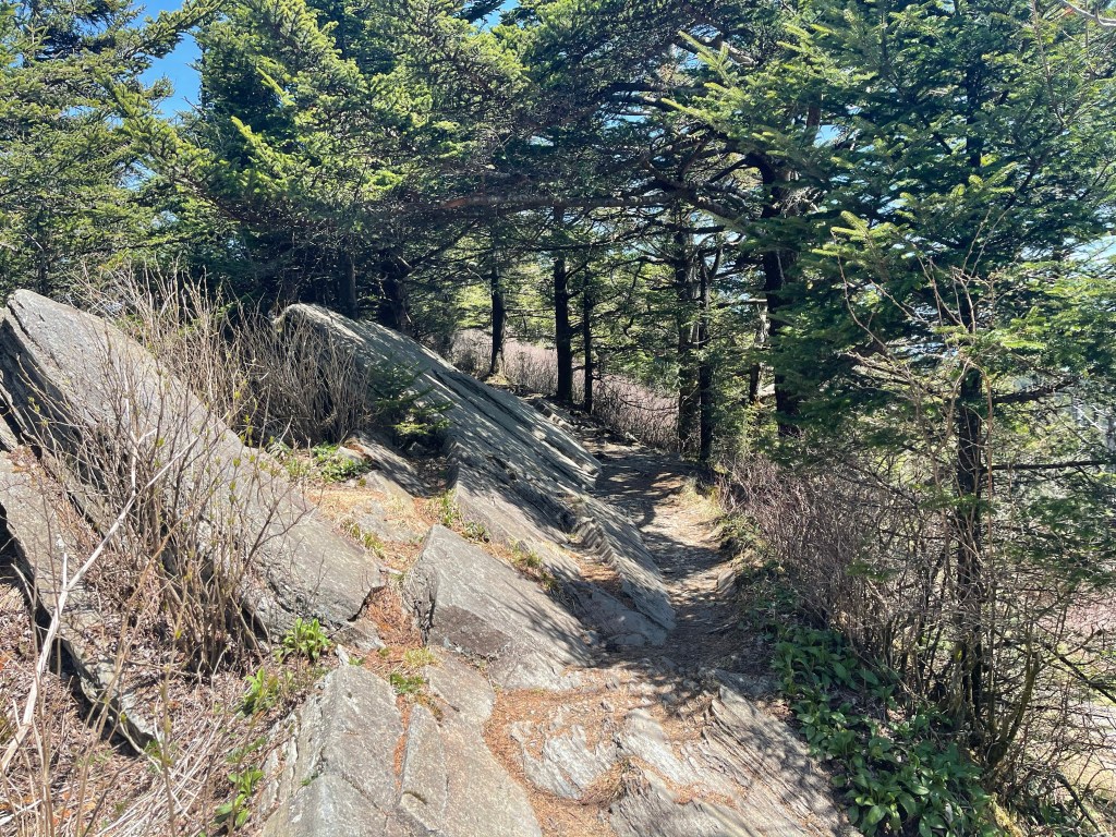
As we continued to climb and got closer to the top of Clingmans Dome, the terrain got steeper and the climb got harder. There were some super cool rock formations at the too that looked like at some point they just shot up out of the earth!
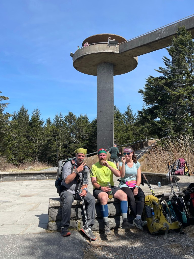
Finally reaching the top, we took a break to eat and also to go up on the observation platform.
Saw a few of our hiker buddies as well and made our own 200 mile monument.
I Now I am in camp and surrounded by spruce pines and fur trees and it is wonderful!