AT Thru-Hike Day 109

Warning, this is a long post!

West Cornwall Rd (836 feet) mile 1486.1 to Falls Village Water St. (560 feet) mile 1495.3 for a 9.2 mile day.
The day it all fell apart. If you don’t want to know the gory, personal details, and sometime descriptive details, of the accounts of this day, you may not want to read on. I don’t think there will be many pictures, just a mind dump of what I can remember from this day and how I ended up in the Charlotte Hungerford Hospital in Torrington, Massachusetts!

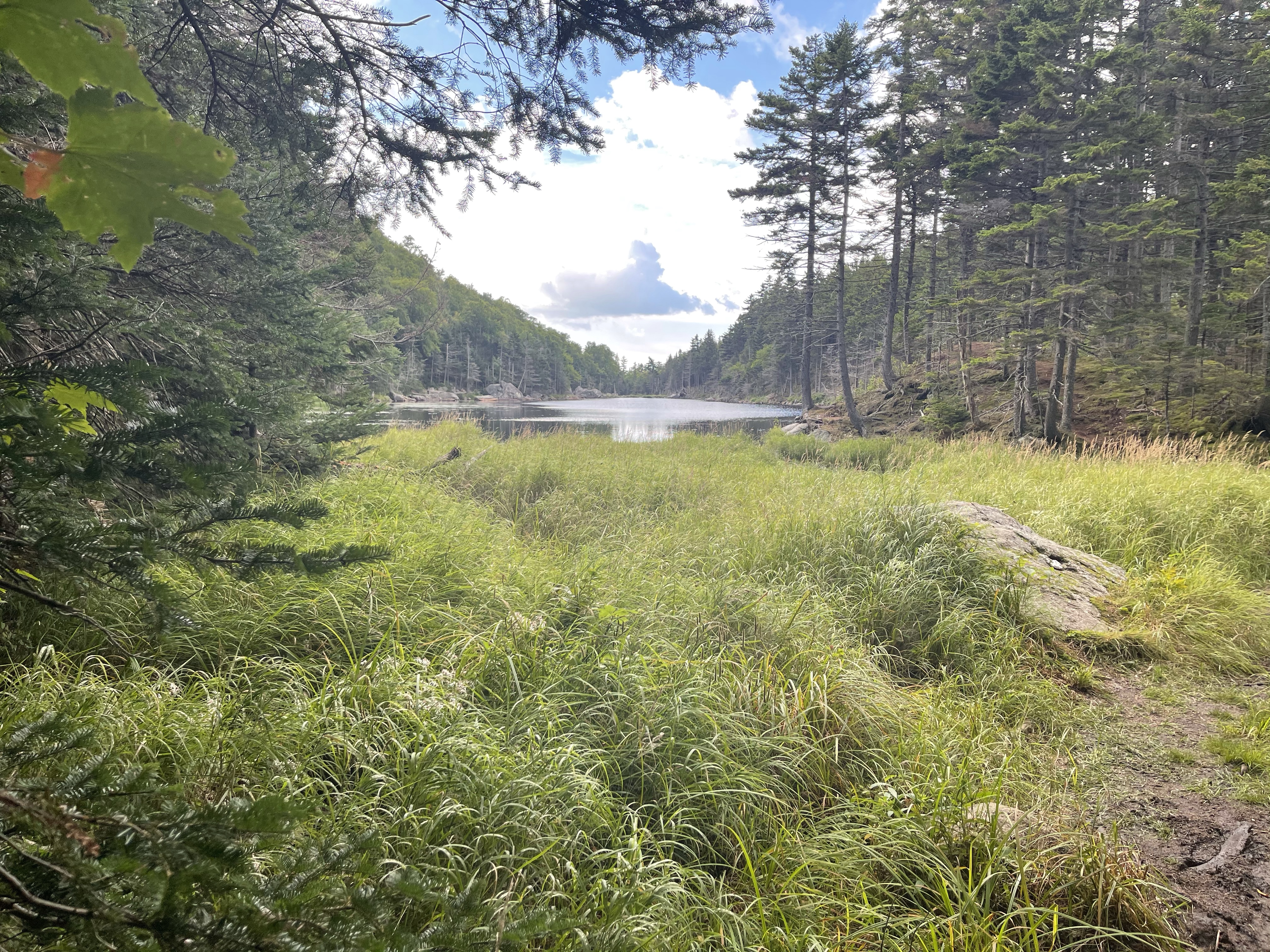
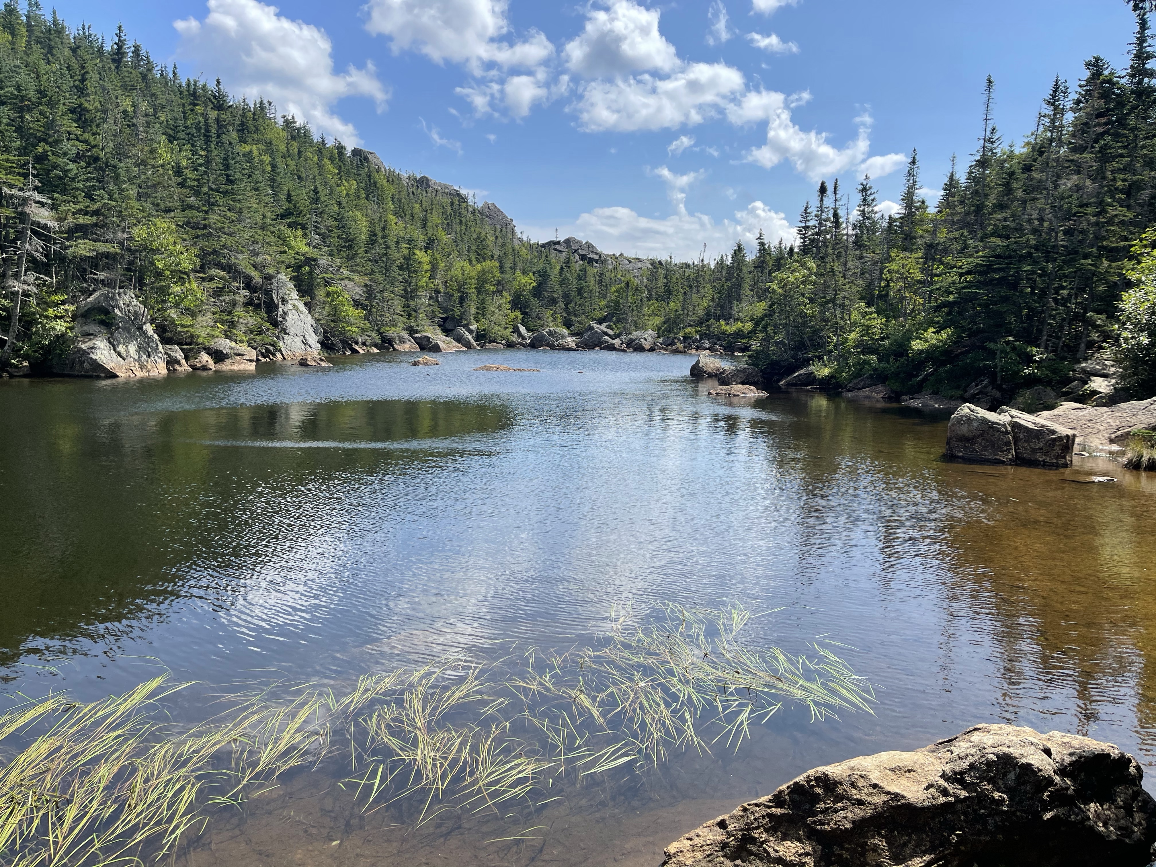
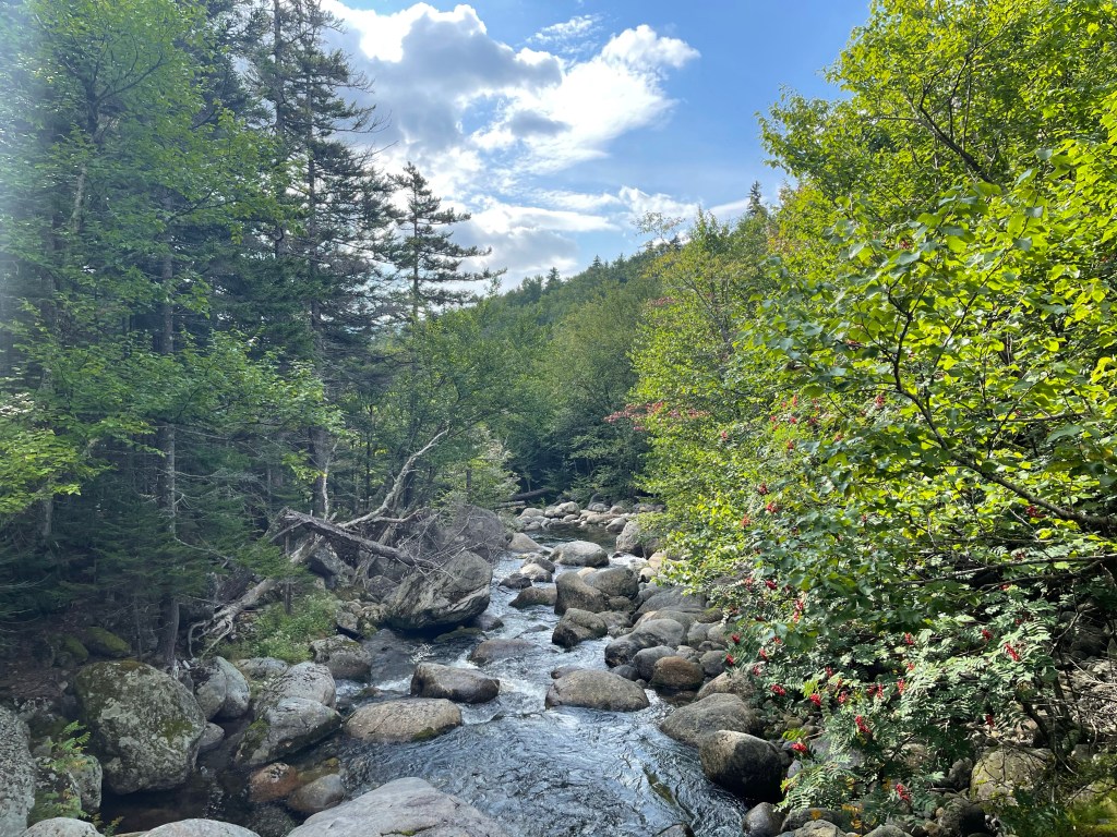
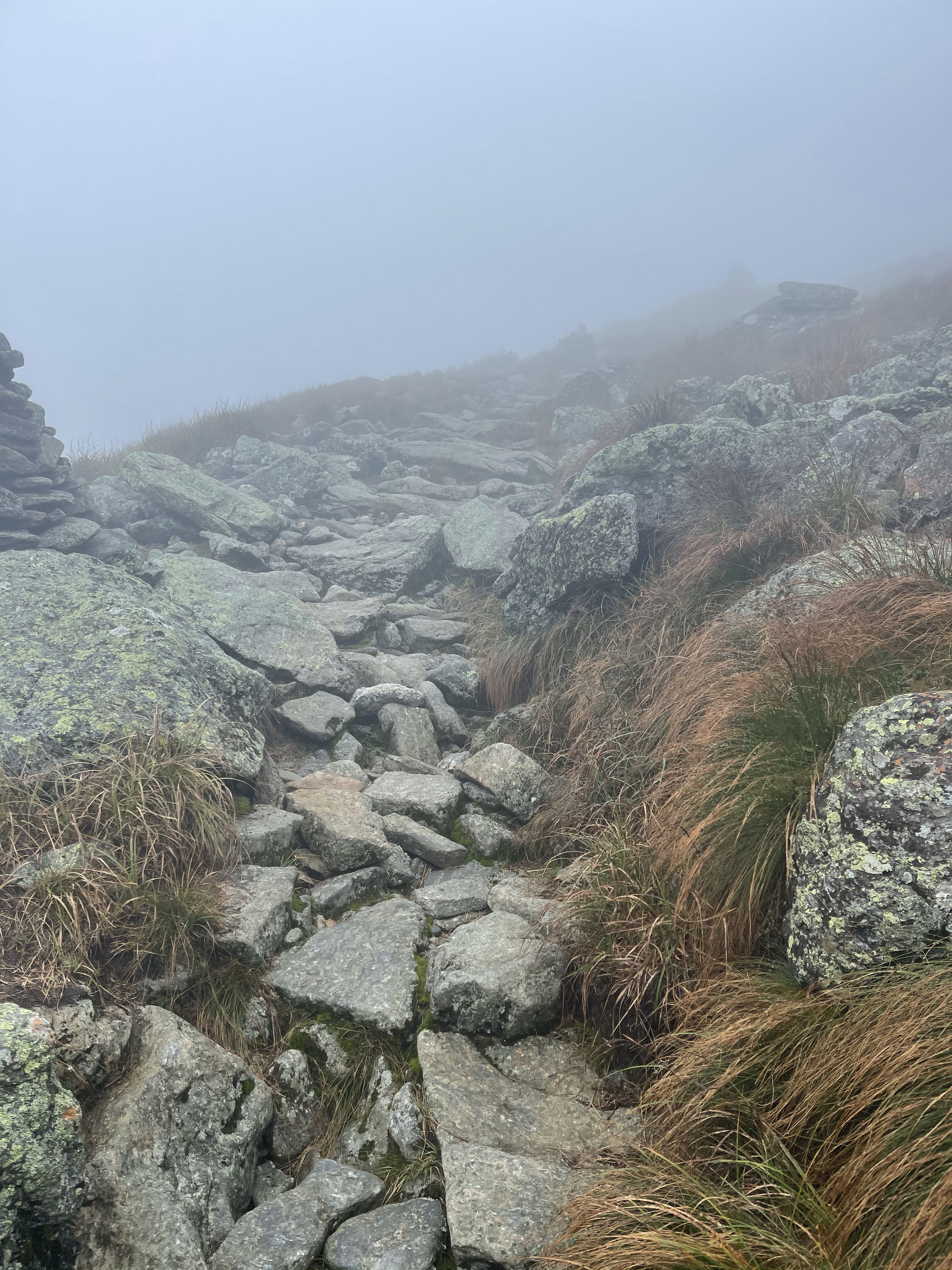
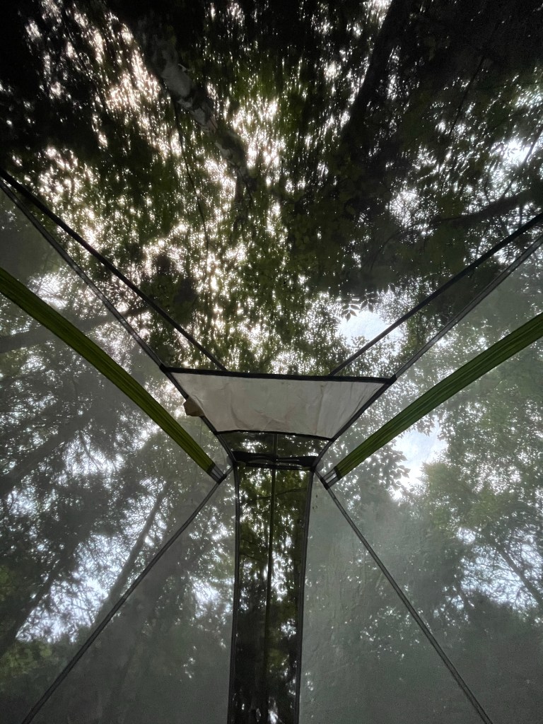
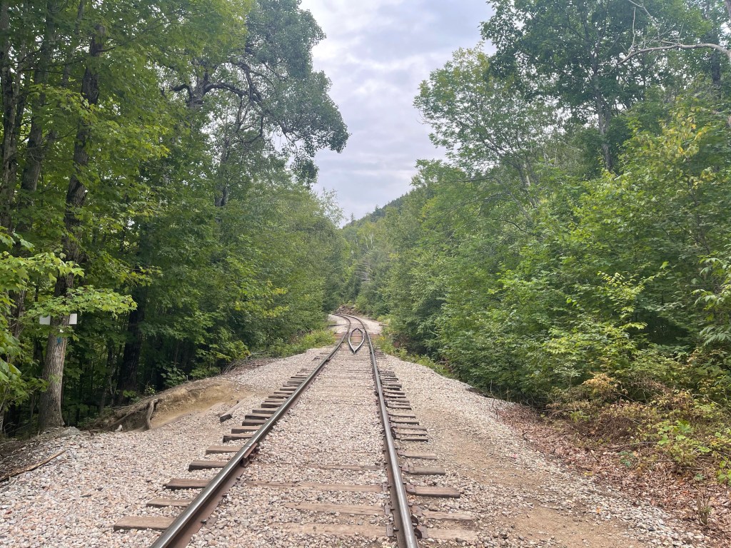
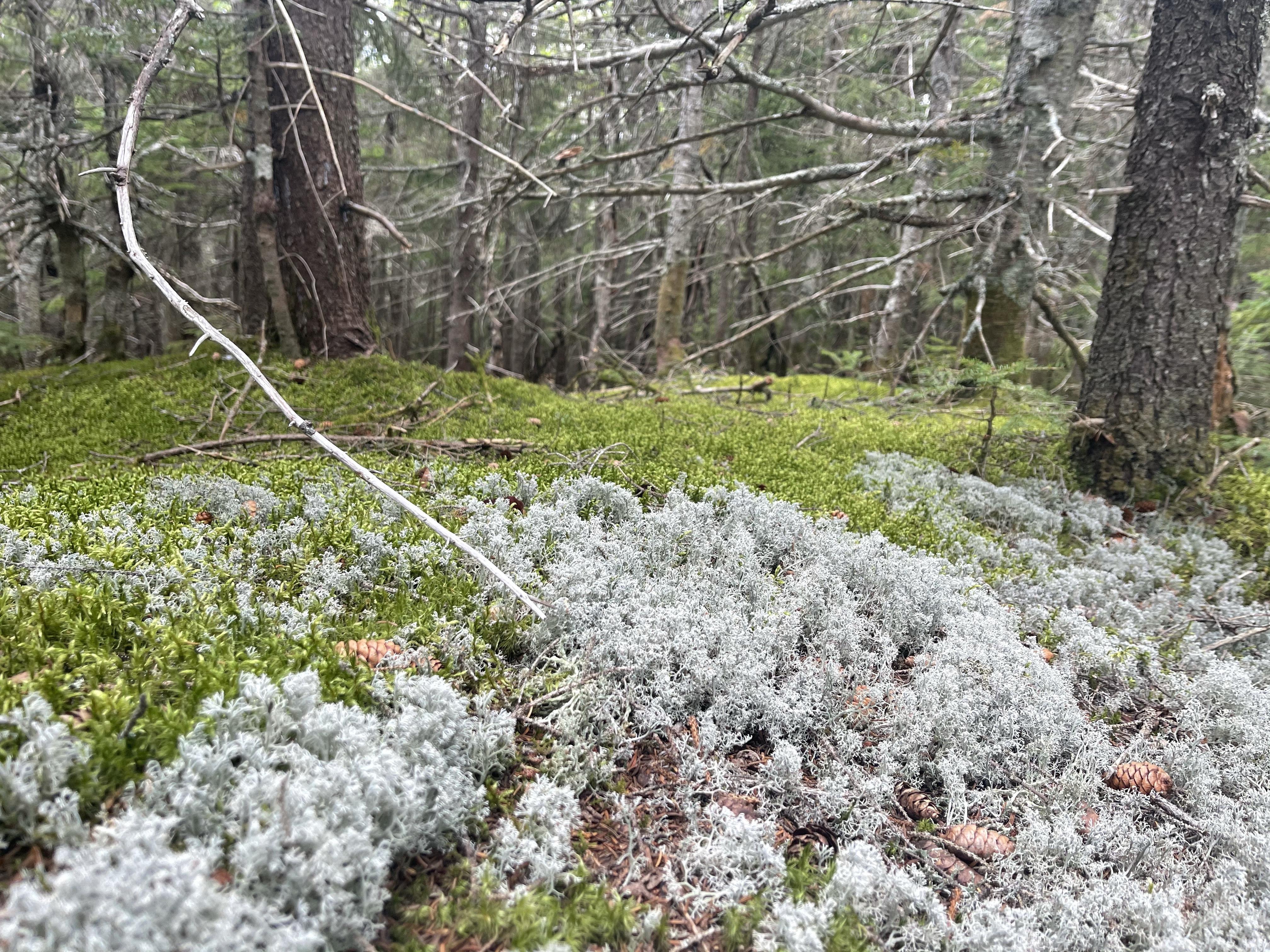
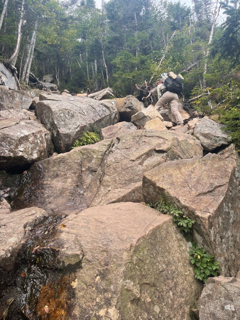
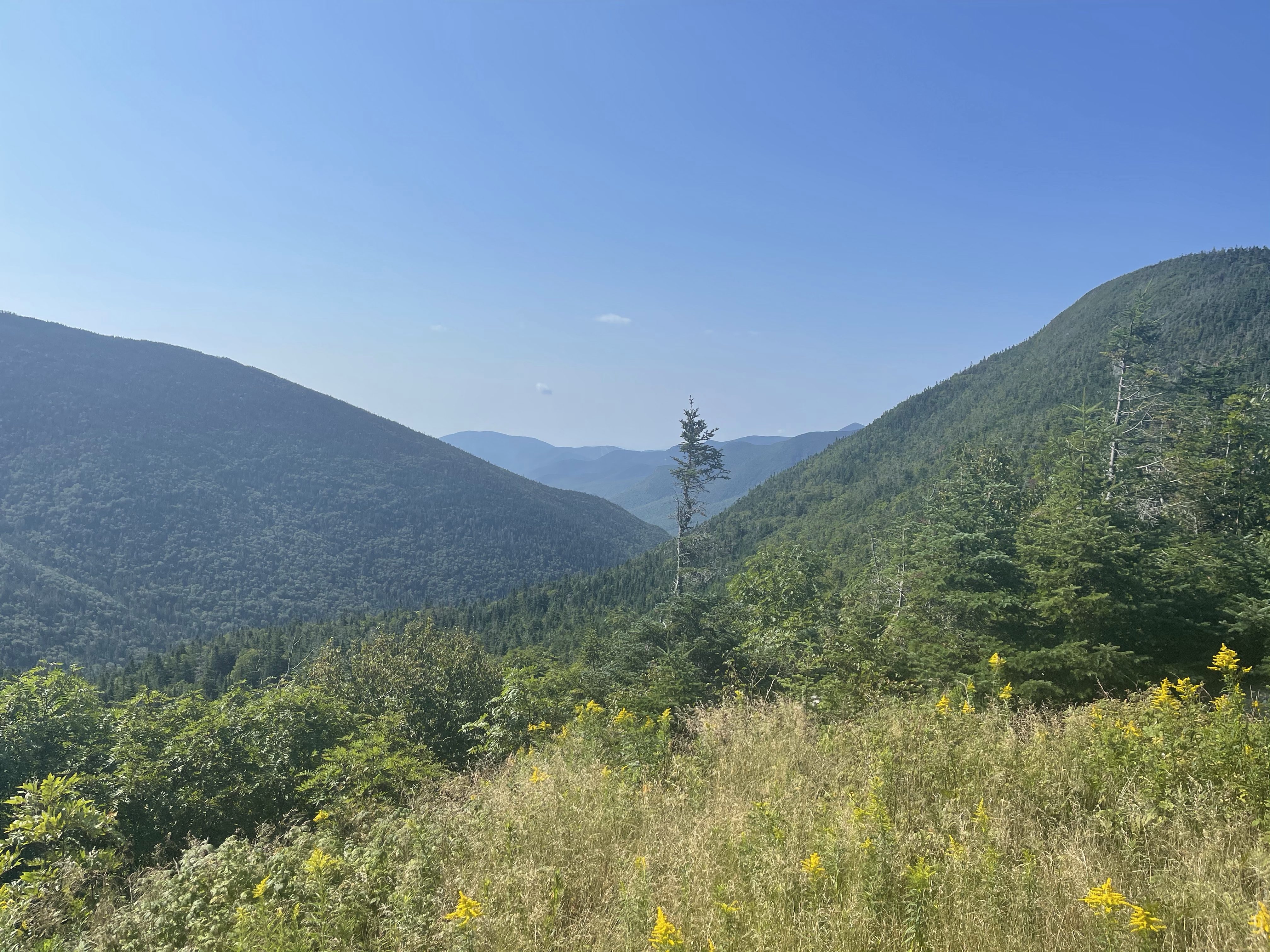
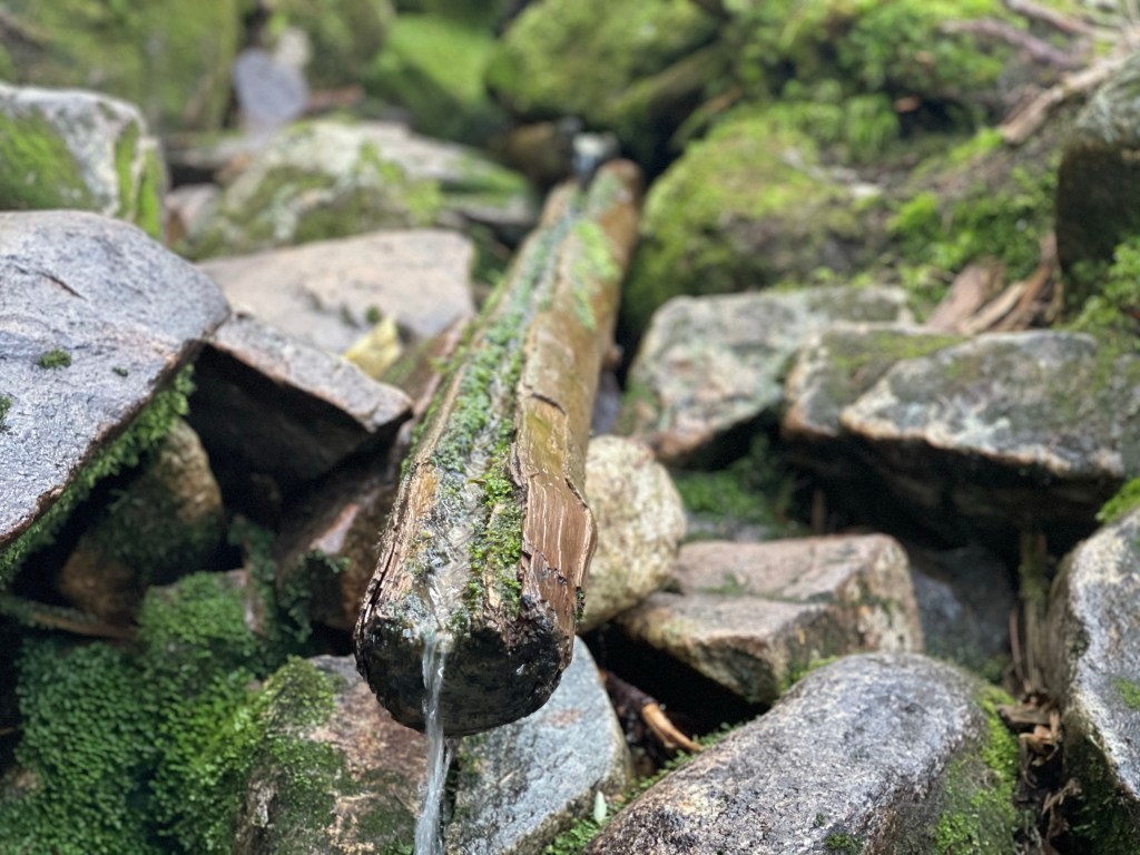
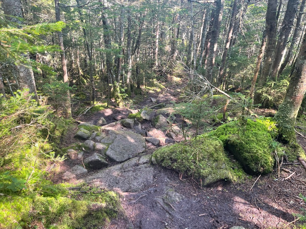
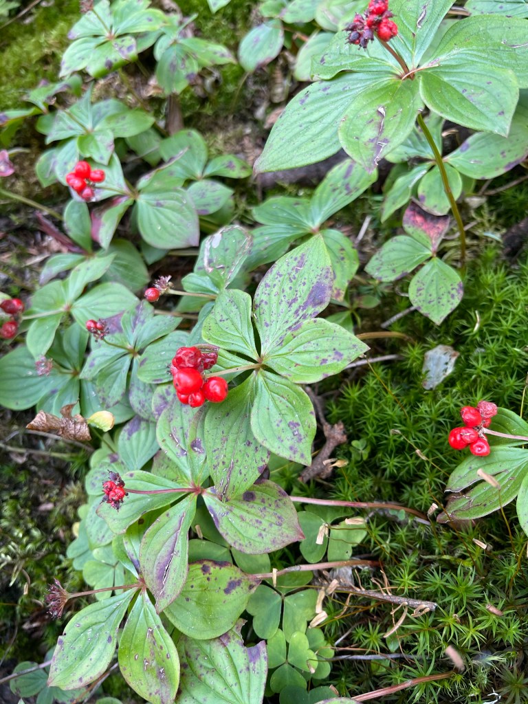
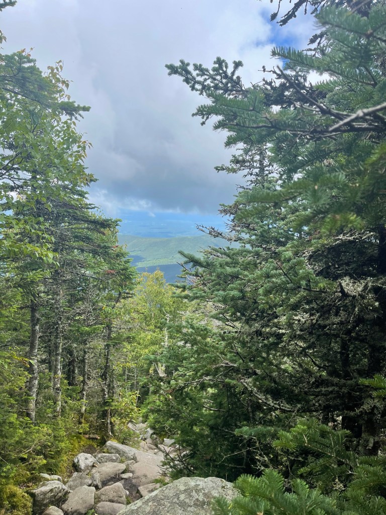
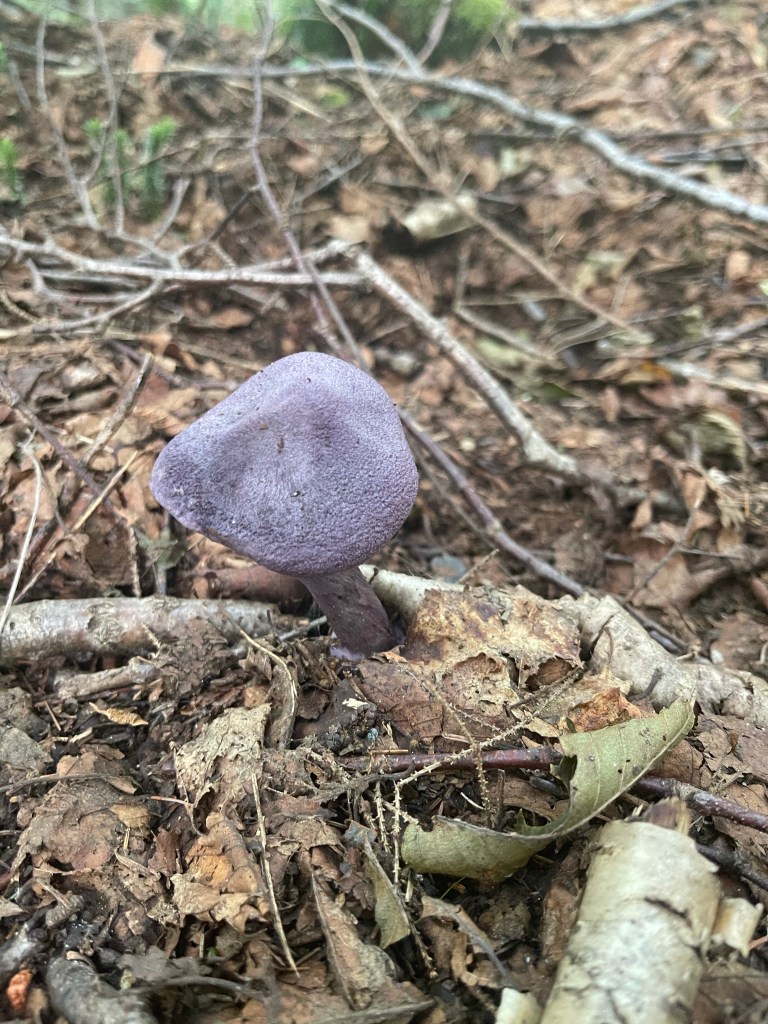
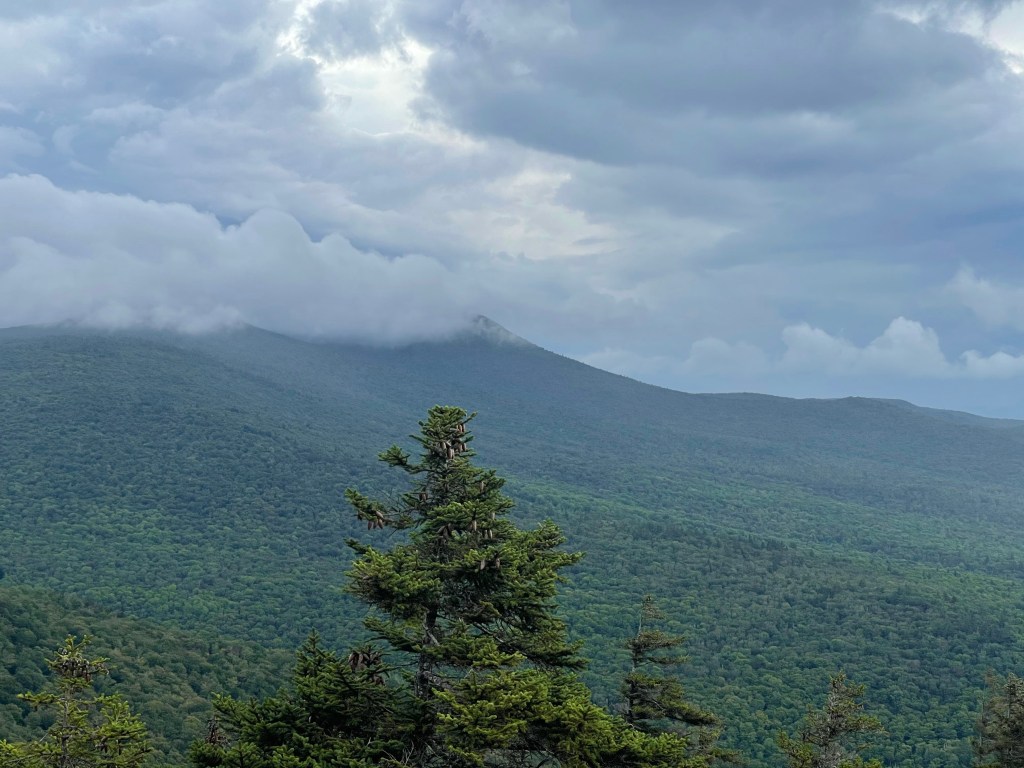
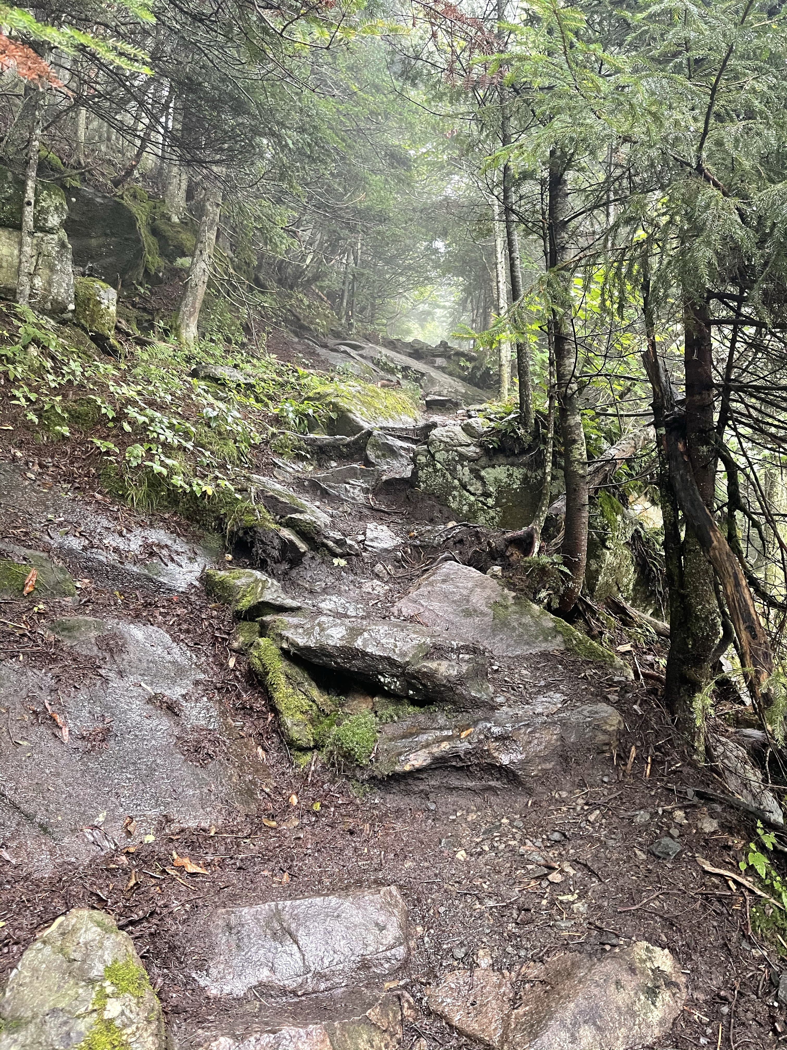
⬆️ this picture I took on the hike today because it reminded me of coming through North Carolina in the spring when the fresh green leaves were just making themselves known to the backpackers making their way to Maine.
After that picture I had my second hurry into the woods to dig a hole to start the journey of what would be known as Campylobacter and the diarrhea that it brought with it!
Suzanna dropped me off today and for the first time since I started this journey 121 days ago, she cried! I asked her why and at the time she said she wasn’t sure why she was crying. August 4, I asked her again why she cried that day and she said something just wasn’t right leaving me that day, now we know why.
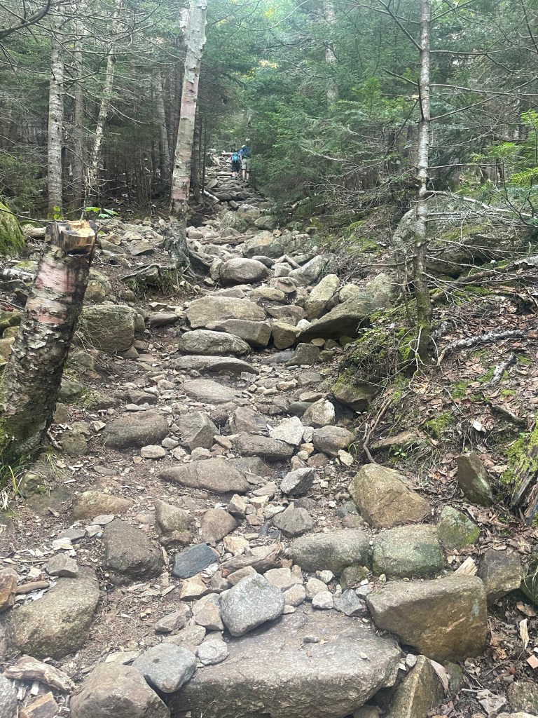
You see, about 10 minutes after she left I had the first case of diarrhea that would start days of such. We started up Rogers Ramp, a fairly steep climb up a rocky section of the trail just off the highway. I looked in front of me and say a double blaze with the top blaze being to the left which meant we would be turning left. I turned to my left and saw nothing but a jumble of rocks and really no easy was to go over them, but, there was another double blaze with the top blaze to the right and I was hoping that would lead somewhere over the rocks in a somewhat easy fashion. But it didn’t, it actually led us into a tiny rock split that we were able to walk through,

which was a good thing since that morning I filled my Ursack food bag with 5 days of food, this meant I was at a full pack weight of 27 pounds. Thankfully, with every resupply was about 12 wipes which, on a normal week, would last me five days until the next resupply, but by now I had already used four! We continued on and passed a campsite, unfortunately at the time everything was fine, but, not long after that another episode hit and I had to walk off trail to take some time.
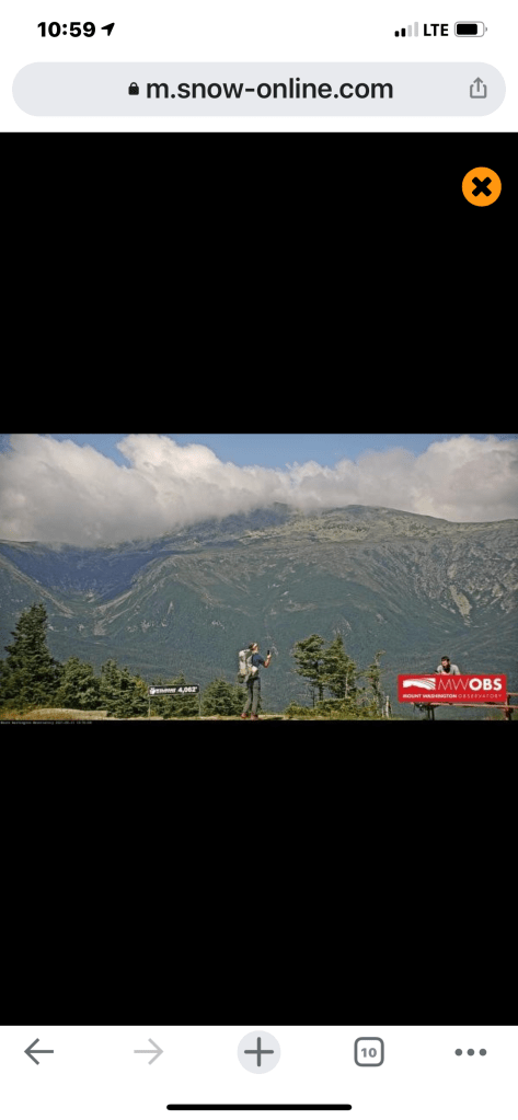
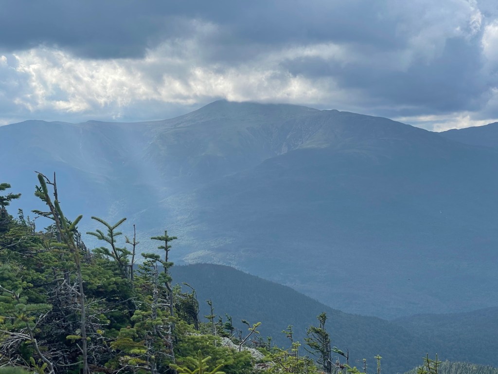
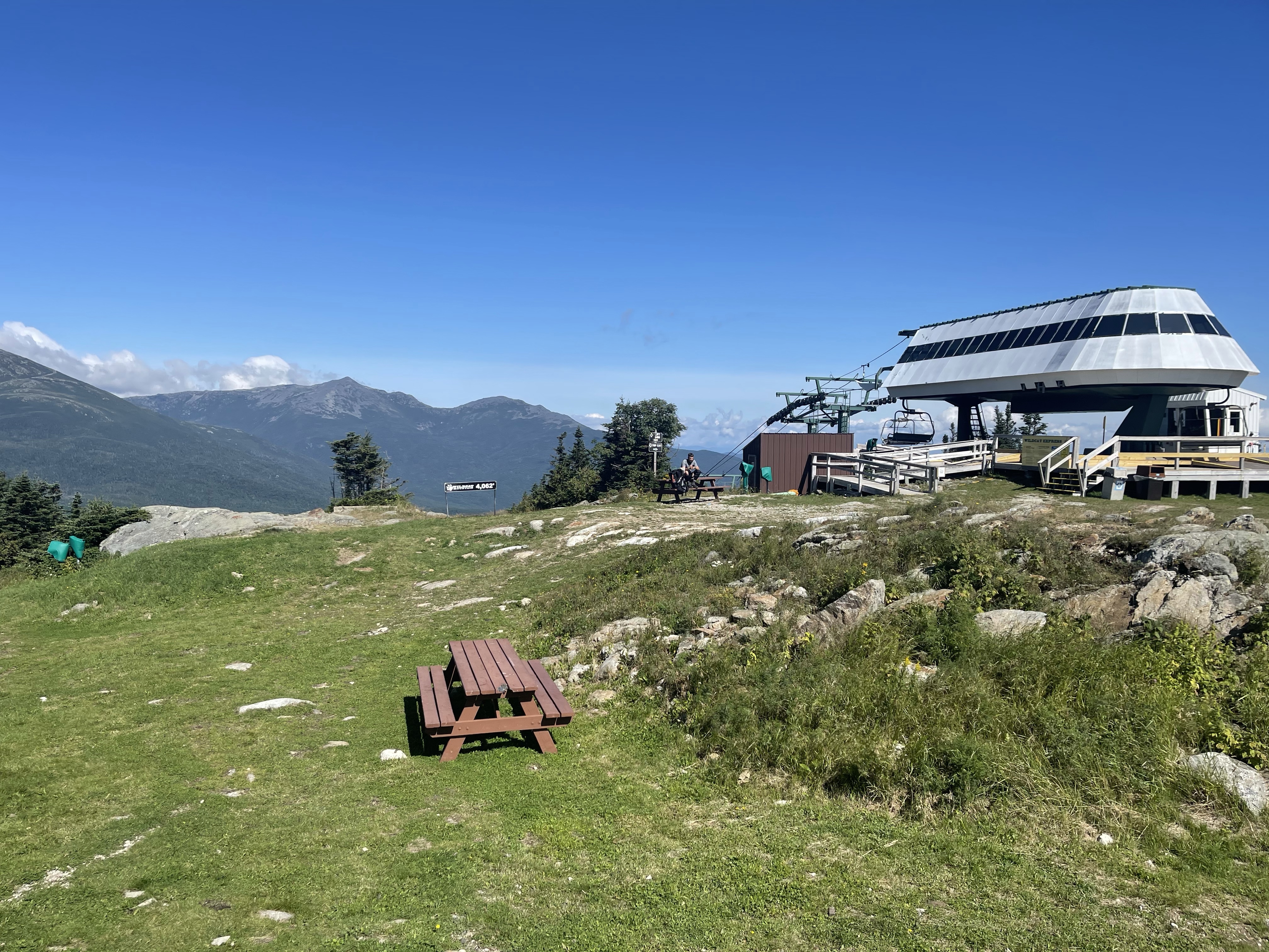
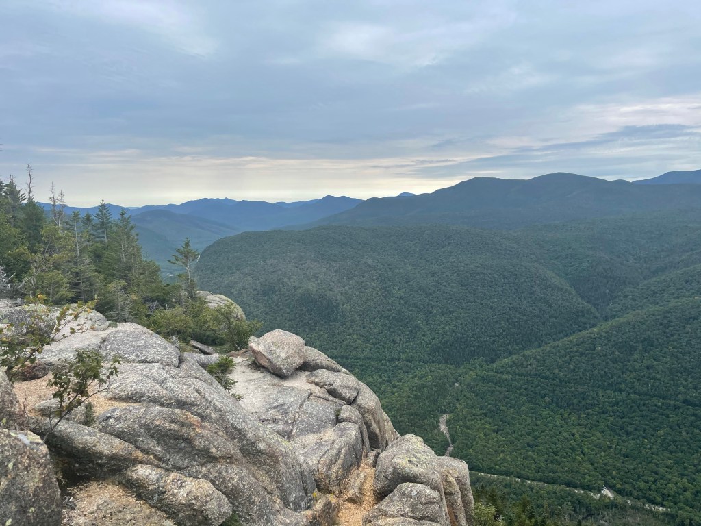
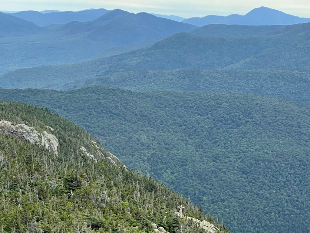
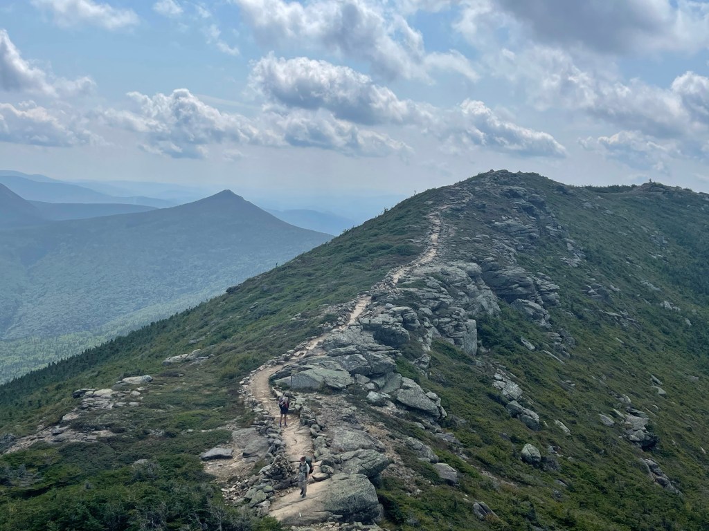
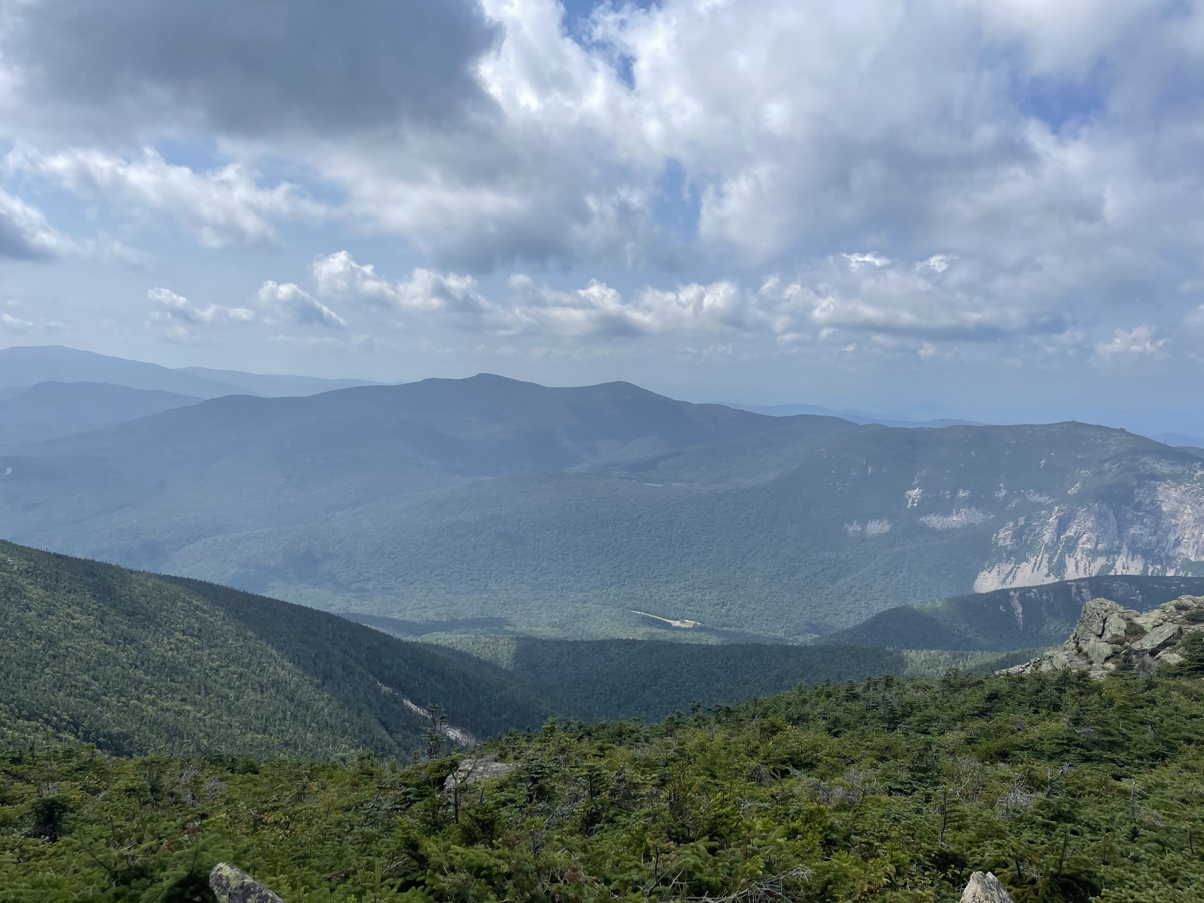
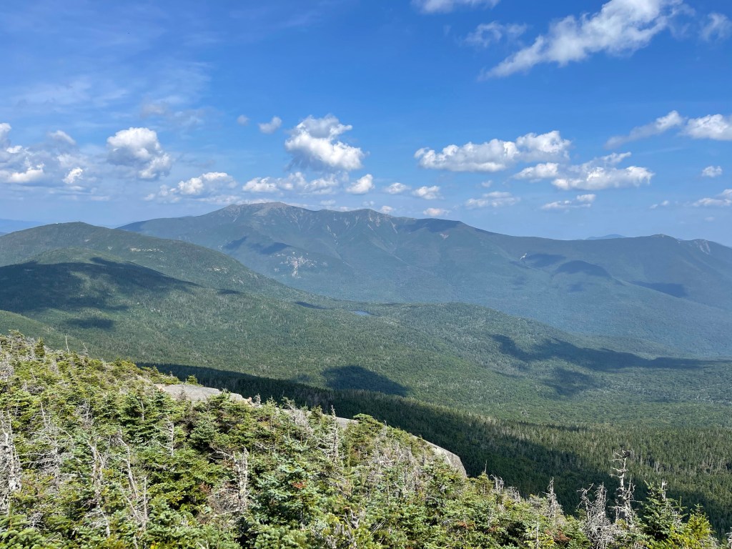
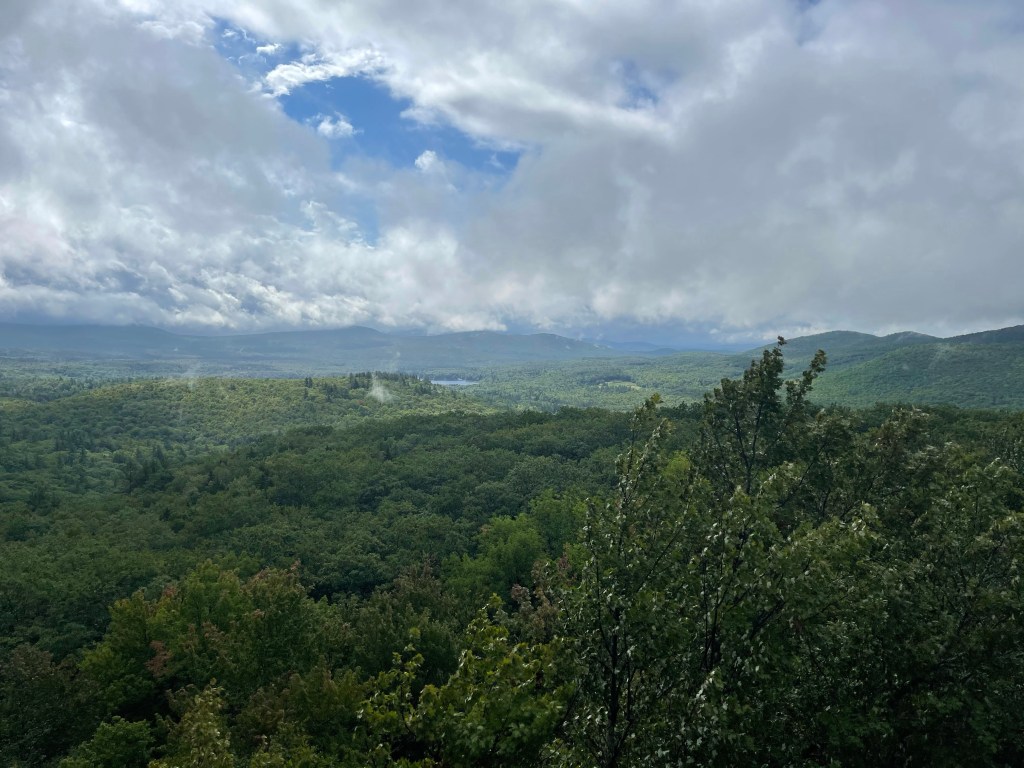
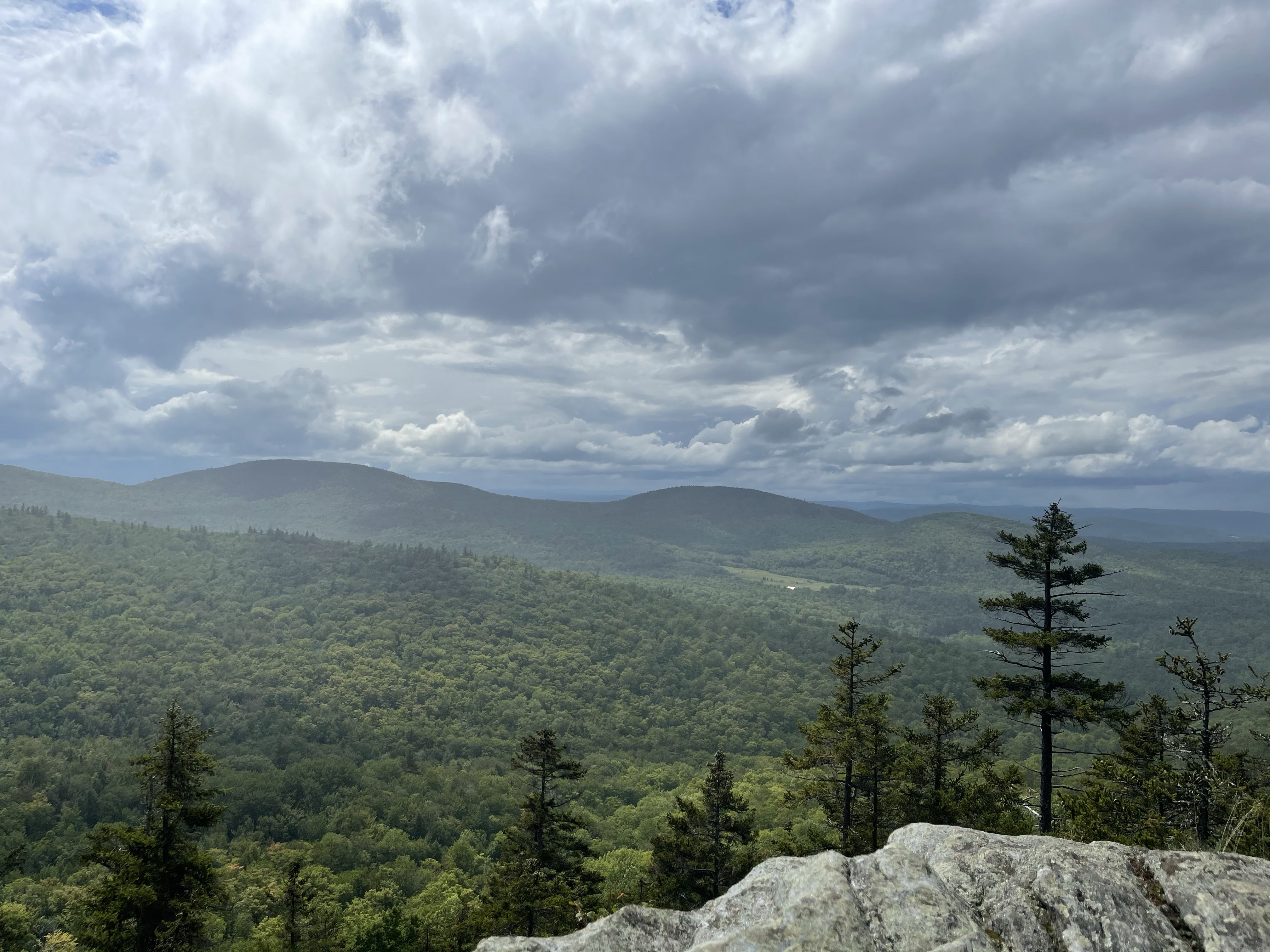
Carrying on from there we climb up some more and got to a view called Hang Glider View where we were able to look down on Lime Rock Speedway.

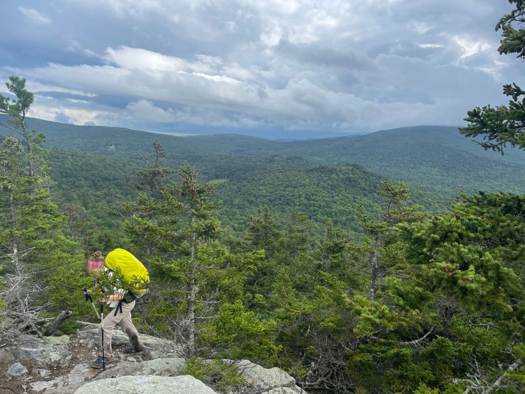
Continuing on from this beautiful view we went back up and then back down and on the way down my body started telling me there was something wrong. From my waste down I started aching really bad and then my legs started to get really weak. We finally made it down to Connecticut highway 7 and I had to stop and take my pack off for a while. Finally realizing I was going to have to walk three more miles to get into a town I put my pack back on and started a short road walk. We then went back into the woods and hiked up and down some more over some really short step ups and downs which then lead us to Water Street in Falls Village, Conn.
Making my way into Falls Village and into a cafe things just weren’t right. By the time I ordered and sat down to wait on my food my body started to ache all over and chills started. At this point I knew I needed to go sleep this thing off. Birdie and I called a hotel and got us a room that we could stay in with an urgent care not far away and a hospital if need be. Honestly, at the time, I thought a hospital was not going to be needed, I would just sleep this off and then get back on trail the next day.
We checked in and got to the room where I immediately used the bathroom and then laid down while Birdie went out and got us some dinner… soup for me! That did not go well! I fell asleep and would then wake up and try to eat which then lead almost immediately to more bathroom time. I laid back down and was awakened by Birdie around 9:15. She had been talking through all of this, a play by play of sorts, with Suzanna and Ramona, my stepmom. They had determined it would be best if I went to the emergency room because it was not looking good.
We arrived at the hospital and when they checked me in I had a fever of 104.5º. I got into a room and the tests started immediately and did not end until around 3:00 am Tuesday morning. I continued to be monitored by the doctors and nurses and finally on Thursday morning, after taking a sample on Wednesday morning, they determined that I had Campylobacter. Campylobacter is an infection caused by eating raw or undercooked poultry or eating something that touched it or it could also come from unfiltered water. Well, I filter all of my water, but, you know, things like that could always fell. I had also eaten out five times while around Kent, Connecticut that weekend and a few possibly shady places along the trail before arriving in Kent, so we will never know where I actually caught this from. Thursday morning I was given an antibiotic specifically for the infection and within 24 hours Suzanna and I were on our way to North Adams, Mass to wait for Birdie to get near there and then I would get back on trail with her. I am so thankful that Suzanna was willing, and able, to get back on a plane Tuesday morning and come back to stay with me in the hospital.
Puppy Love, out!

AT Thru-Hike Day 132

Pinkham Notch Visitor Center (2,029 feet) mile 1,873.7 to Imp campsite (3,177 feet) mile 1886.8 for a 13.1 mile day.

We arrived back at the Pinkham Notch Visitor Center around 8:45 and started our hike up to tackle the Wildcats. The Wildcats are a series of 4, 4000 foot peaks which makeup the Wildcat range. The first mile, exactly, was a nice little hike, enough to get the muscles warmed up and ready for the climb up. We left this beautiful pond behind and started the climb up.

The climb consisted of 2,300 feet of climbing in 3.1 miles, along the way we passed open ledges with amazing views!

We climbed on up to the top of the first peak, Wildcat D, and we’re greeted by a gondola for the bearcat ski resort, and of course, an amazing view. Oh, and there was another pleasant surprise, at the top there was a webcam, which I’m assuming normally is used to see the snow during winter. Today the only thing that would be seen was the view and me and The Mayor.

We found out about the webcam through Mayors mom who randomly text him a picture of him sitting at the picnic table waiting on us to catch up. Haha from here we climbed up Wildcat Mountain and then went straight back down into Carter Notch where we stopped at the Carter Notch Hut (3293 feet) for cold coffee and lunch. Paradise indeed! Haha

After feeling our belly’s with some lunch, oh, and they had fresh hot soup, finally, we headed up to Carter Dome (4,832 feet)

We proceeded across South Carter, Middle Carter and then North Carter Mountains. From there, it was down the mountain to the Shelter. We got there a little later than we’d like but we made due. I chose to stay in the shelter that night, in the second floor, just so I didn’t have to set up my tent in the dark. While I was waiting for my food to rehydrate I caught a nice sunset before eating and bed!

Puppy Love, out!

AT Thru-Hike Day 131

A stealth campsite (4,100 feet) mile 1,867.8 to Pinkham Notch Visitor Center (2,029 feet) mile 1,873.7 for a short 5.9 mile day.

We were trying to get a little bit closer to the visitor center but it just got too dark last night to make it any further.

That tent setup was a tight squeeze but we were able to make it work. What you don’t see, is there is a fourth tent off to the right of my green tent in a hole in the trees.

We headed down to the V.C. to catch a ride to the Rattle River Hostel where I had a food drop box waiting for me.

On the way down we passed the beautiful, West Branch Peabody River, which flows into the Peabody River and then it flows into the Androscoggin River in Gorham, New Hampshire.

About 20 minutes from the visitor center, it started to pour rain on us and by the time we were at the VC, we were soaked! We went into the VC to warm up and get some food while we awaited our ride. We got our ride, finally, and the were taken over to the Walmart where we got some food resupply and things to snack on at the hostel. It was a Nero day and we needed it. At this point, we have decided to take no more zeros so we don’t loose anymore days in turn pushing our finish date back.

Puppy Love, out!

AT Thru-Hike Day 130

Nauman tent site (3,803 feet) mile 1,854.1 to a stealth campsite (4,100 feet) mile 1,867.8 for a 13.7 mile day.

Today was the day that we have been waiting for, our summit of Mount Washington!! First we have two other peaks to work our way around, the start of the Presidential range. Mount Eisenhower (4,780 feet), and Mount Monroe (5,384 feet). Today was absolutely not one of the most beautiful days to be up on these tall mountains, but, it had to be done.

Off in the distance on that photo, middle to the left a little, you can see the Omni Mount Washington Resort.

The Presidential Range of the White Mountains is the highest range of mountains in the northeast and is home to the largest above-treeline alpine zone. Mountain Washington has been in view for at least a day now, but now, it is looming larger and larger. When I was 16 years old I climbed Mount Washington for the first time, I don’t remember much of it, but what I do remember, it’s weather has a mind of its own and can be the polar opposite of the lands below. It is home to some of the worlds worst weather with freezing temperatures and hurricane-force wind being common, even in the middle of the summer. Thankfully we didn’t experience any of those today!

A brief synopsis from the Guthook app, “The peak is accessed by almost a dozen hiking trails, the auto road, and the Cog Railway. Mt Washington State Park operates a visitors center at the summit, as well as a gift shop and museum at the old Tip Top House, one of the earliest mountain hotels in the area. The summit complex is rounded out by the Mount Washington Observatory, a high-tech weather station that is staffed year-round by meteorologists and other scientists.”The mountain is made up of mainly Smart car sized boulders and it was this way for the ret of the days. Finally making it to the summit we stood in line with the car riders and cog riders to take our picture.

After eating lots of food at the restaurant on the summit we started our journey across the mountain heading for Mount Madison, passing Mt. Clay, Mt. Jefferson, and then Mt. Adams. It’s a little weird making this hike on the “back side” of Washington, we passed the cog track where folks ride to the top without any effort. Haha

The next several hours were grueling, demanding, and honestly, they down right sucked! We got to the Madison Spring Hut (4,796 feet) at 5:00. We had 3 miles until our next campsite and the terrain was not terrain that would allow for a quick 3 miles. The late climbed gave us some great views of the sun getting lower and lower. Good and bad! We had to get below tree line to be able to camp because the winds were so strong on this open alpine trail.

We finally made it below tree line about 45 minutes before sunset so we just found a stealth spot to hold all three of us and then we bedded down for the night.

Puppy love, out!

AT Thru-Hike Day 129

Ethan Pond Shelter (2,831 feet) mile 1,844.8 to Nauman tent site (3,803 feet) mile 1,854.1 for a 9.3 mile day.

Last night I took a risk, I slept with my rain fly off to get a nice breeze through the tent. Well, the risk sort of paid off! It rained during the night, according to Birdie, around 5:00 it started and rained briefly. Thankfully those trees kept the rain off of me, as far as I could tell! Haha

The day started with a 1600 foot descent which then turned up at the bottom to a higher ascent. It’s easy to get frustrated with these downs and right back ups because usually at the bottom there is something there and we ask, why is it necessary to go down to these places, well, it’s the mountains and they put these things down there because it accesses the rest of the world and there is really no way around it. It took a while for me to get over this fact! Haha This time it was two things, this one was a road to access North Conway, NH and for the Maine Central Railroad.

Now it’s time to work our way up a 3,799 foot climb, but, it’s stretched out over 8.7 miles. But first, it was time for some trail magic!! One of the hikers dad came over from Boston to do trail magic for his daughter and whoever passed through that day.

The first mile and a half though, to Webster Cliffs, was a straight up rock scramble! But, as usual, the climbs in New Hampshire are so rewarding! Webster Cliffs, on the climb up to Mount Webster, provides spectacular views across Crawford Notch, which we just climbed up from, to the Willey Range.

The final push up to the peak, as usual, I was greeted with a wonderful rock scramble, and, if I haven’t said so before, I really enjoy rock scrambling! Here is a small taste of what this one looked like.

Finally making it to the top at 4,052 feet of Mount Jackson, at the south of the Presidential Range, we had a beautiful clear long range view.

You know, they say Vermont is a muddy place, but, I have found New Hampshire to be a muddy place and it is a deep mud! At one point today a guy in front of us stepped in a muddy spot thinking it was just a little mud, then, when it went up to his mid thigh he realized it wasn’t just a muddy spot!

That is half of my 120 cm (47 inches) trekking pole.

Finally we made it to our campsite for the night. As we were setting up our tents our old friend on trail, The Mayor, showed up. We had been hoping to catch back up with him to finish out the trail and tonight was the night, he fought up with us!

Puppy Love, out!

AT Thru-Hike Day 128

Garfield Ridge Campsite (4,020 feet) mile 1,830.2 to Ethan Pond Shelter (2,831 feet) mile 1,844.8 for a 14.6 mile day.

The whites have been nothing but rocky, but, ya gotta do what ya gotta do to get to the end!

Today was crossing over four, four thousand foot peaks, but the good thing about it is that we started the day at 4,020 feet. The morning was hovering around 3500 feet and then we went back up for our first 4K peak, Galehead Mountain. Galehead held an AMC hut that we stopped in for coffee and a baked good. The huts allow thru-hikers to have any left over breakfast items, at this hut we landed some cold oatmeal and pancakes. Cold or not, we needed the calories to get through the morning until lunch time. The hut had a great view…

We left the hut and were greeted by a straight up climb out of the hut. In all honesty though, the straight up climbs are kind of nice, besides a great workout, they get you up to the peak quicker. Haha Then we come to a point where it gets a little easier

and it causes an excitement for short time, and then, more rocks and straight up for the final push to the peak of South Twin Mountain.

The golf ball from Derren Supernavage memorial service has made the journey well. Some of the lettering has rubbed off and some colors have been added, I guess from my wet and sweaty pockets. Derren was a friend of mines husband who passed away seven years ago and he had wanted to hike the trail, so, I volunteered to carry the ball and take pictures with it along the way.

Along the way we met Merchant, and what is amazing about Merchent, well, it’s not really about him but about his shoes. He bought a pair of Altra Olympus4 in Franklin, NC, which is mile 110, and was still wearing them at mile 1837! I’ll put a more detailed pic of the shoes in the gallery at the end of this post.

Then, we got to, what I like to call, superhighway trail. This section came, thankfully, toward the end of the day when we were trying to get to camp. It was a 4.5 mile section of trail that hovered around 2800 feet and then up a hundred feet or so towards the end.

At one point in here we passed an area that looks like at one time had a major rock slide and thankfully they didn’t make us bounce across the rocks but instead, it appears, they covered it with dirt to make a nice little path across.

Finishing out this 4.5 mile section we came to the Ethan Pond Campsite. Ethan pond was a beautiful little pond that awaited us for what would end up being a beautiful sunset!

We didn’t have to pay the five dollars tonight because the care takers have all gone home for the season! Ya!!!

Puppy Love, out!

AT Thru-Hike Day 127

Liberty Springs Trailhead (1,422 feet) mile 1,820.1 to Garfield Ridge Campsite (4,020 feet) mile 1,830.2 for a 10.1 mile day.

Well, actually, we hiked 11.1 miles today since we had to hike 1 mile on pavement from the parking lot to the AT! Not sure I have ever said this out loud on here or not but, I hate walking on pavement with a full pack, it really hurts my feet. Nonetheless, we did it and then started the hard rocky climb up the side of the mountain. We were headed for the, famed among thru-hikers, Franconia Ridge. The climb up was steep and rocky! I’m going to save my comments about the rocks until my last blog.

One great thing up here, the campsites have some amazing water and they come out of tree limbs, well, not literally, they are just setup to drain from the spring using tree limbs.

The Franconia Range is a mountain range in the White Mountains of New Hampshire. They are the second highest range in the “Whites”, as they are called by hikers, behind the Presidential Range, more on those another day. Franconia Ridge forms the backbone of the range and is home to the Appalachian Trail. The Ridge is made up of, Little Haystack (4,780 feet), Mount Lincoln (5,089 feet), and the highest peak, Mount Lafayette (5,260 feet). The AT along Franconia Ridge is an above tree line trail that we get to walk for miles, and the best part about above tree line, the views are amazing!!!

After Mount Lafayette we started our descent to the Garfield Ridge Campsite. The campsite also had a shelter, so, tonight I chose to stay in the shelter. One of the reasons I chose to stay in the shelter, it was a spacious shelter. This was our first campsite in the white mountains which meant we had to pay up. You see, the Appalachian Mountain Club, I think maybe a spin off of the mafia, charges $10 to stay at all of their campsites. They charge $150 to stay in one of their huts, where the customer comes first above everyone else. Oh, and the one paying all of that money, can’t throw trash away, there are no trash cans, they can’t shower, they have no electricity, the only thing they get for that money is breakfast and dinner. All of that money being paid and the trails looked horrible. Oh, and, there are caretakers living at these campsites. According to our Guthook app, they are there to collect money, and teach principles of Leave No Trace. All the campsites we stayed at, never once heard anything about Leave No Trace!

Nonetheless, we paid our money, slept and got out of there the next morning.

Puppy Love, out!

AT Thru-Hike Day 126

Kinsman Notch Parking area (1,183 feet) mile 1,803.7 to Liberty Springs Trailheads (1,422 feet) mile 1,820.1 for a 16.4 mile day.

What a day, today has been. The goal today, go up and over South and North Kinsman Mountains and still finish 16.4 miles before dark. Kinsman was… is, now what I consider to be the hardest climb I have done this whole journey. The rocks you have to climb up to get to the top are tall, they are sharp, they are steep.

Today was my first big fall of the whole journey. Somehow I managed to go 1,810 miles without a major fall. Now, that’s not to say I haven’t slipped a couple hundred times and fallen two or three before this one, but this was a big one. I was going down hill, slowly, as usual, and stepped on the ground with my right foot and put my trekking pole into a group of tree roots, and that is where I messed up. You see, when I go downhill I rely on my poles pretty heavily and this time, it got me. My pole pushed into the roots and all my weight went that way, from there my right leg collapsed and then I went down onto my knee and landed on my left shoulder and then rolled one time and ended up on my stomach. Nothing broke and only a little soreness was felt the next day. All in all, my daily prayers of keeping me safe from injury was answered once again. I got up, paused for a few minutes to make sure nothing was broken, on me or my pack and then carried on.

Half way up the climb to the first Kinsman, South Kinsman, I passed the Harrington Pond, it’s really more of a deep swampy area. Harrington pond sits at mile1,812.6 and 3,397 feet elevation. It sits inside the mountains nicely, I did my best to capture in photograph.

Finally making it, in one piece I might add, up to South Kinsman Mountains peak, we got our second big 360° view of the beautiful scenery around us. SKM sits at mile 1,813.7 and 4,385 feet in elevation. It was noticeable cooler on top of the mountain than it was at the base when we started.

From here we moved on to North Kinsman peak, it sits at mile 1,814.7 and 4,293 feet in elevation. We went downhill and then back up a little so we could get to this peak. It did not have as much of a view as its kin to the south!

Along the way I started seeing this small plants with a leaf that looks similar to a dogwood and it had a little red bed on it that didn’t really look like it would ever bloom. It’s called a bunchberry dogwood, it’s more of a creeping dogwood than a tree like we normally see back home on the south.

After summiting the last peak we started the descent down to Liberty Springs parking area at mile 1,820.1 and an elevation of 1,416 feet, for a total descent of 2,877 feet!

From here we headed back to The Notch Hostel for the night.

Puppy love, out!

AT Thru-Hike Day 125

Kinsman Notch Parking area (1,183 feet) mile 1,803.7 to NH Route 25A (903 feet) mile 1,784.5 for a 19.2 mile day.

Yes, you are reading that right, we went SOBO today, and with a slack pack. The main reason we did it this way, 6,272 feet elevation gain in 19.2 miles, and , if we had done it north the big climb was going to be at the end of the day. It does not matter to me which way you walk it or how big or small your pack is, just as long as you walk it!

The side of Mt. Moosilauke that we started on went straight up and right next to a water fall most of the way and it was beautiful!!

Not sure this picture really does justice to the slope that we were climbing, but, I will say this, I have never hiked up a mountain that had foot holes chiseled out of the rock and wooden blocks making stairs attached to the rocks!

Look at the bottom of birdies feet and you’ll see the wooden blocks.

We peaked out at the summit of Mt. Moosilauke and it was foggy with a nice wind blowing!

Making our way down was pretty rough too. It was roots, rocks, and mud the whole way down.

But, as we made our way down the clouds stated to thin out and we could see so sunshine. This was a welcome sight because Mt. Moosilauke is the first mountain inside the White Mountain National Forest and that means it’s rocky and steep climbing starting with this mountain.

Once we got about 8 miles into the hike we were back down to “normal” elevation, 1665.

Today I saw a different mushroom then I’ve seen in the past. This one was a purple topped mushroom, not the official name, and it was short but I really liked the coloring.

Speaking of coloring out here on trail, in His creations, God has given us some amazing colors and more than that, He has shown what colors look great together. So much so, Suzanna asked me before I started, if I would take pictures of beautiful colors on trail so she could create a color palette, “colors of Appalachia”. She is an interior designer and the first time I took her hiking I was in front walking along and turned around and she was carrying a bunch of sticks and leaves and such and I asked why, and she said these color combinations I would never think of!

From out first hike together in November

Anywho, I digress! Another big day tomorrow, 16 +/- miles with some pretty big climbs!

Puppy love, out!

AT Thru-Hike Day 124

Lyme-Dorchester Road (1,103 feet) mile 1770.4 to NH Route 25A (903 feet) mile 1784.5 for a 14.1 mile day.

For us to reach Mt Katahdin on September 20, 2021 we must hike 14.5 miles per day from here on out. With the White Mountain National Forest only a day away we new the days of 16-18 miles a day were almost over. Today, tropical storm Henri made landfall and was pushing its way towards the inland of New Hampshire. The path showed it basically following the AT North and then turning back east and going back out in the ocean. Here is what the weather channel showed.

We continued to monitor the weather on our Dark Sky App while we hiked. We decided to hike today because, honestly, it looked like it was being hyped up and there wasn’t going to be much. Well, we called that one! It was definitely not a sunny day to brag about, but, we only got drizzled on twice and I was barely wet at the end of the day. Well, from rain that is, sweat, a totally different story!

The totally climb for the day, 4,193 feet, first up Smarts Mountain and the up Mount Cube. Up one, then down it, and then up the other one! Haha

We got to the top of Smart Mountain and there was a tower there to greet us, it was a tall and lanky sort. I started up the tower and then realized my wrong, there is a tropical storm friend! You ain’t gonna see nothin, so I turned and went back down only after two flights of stairs.

It was a weirdly beautiful day on trail, yes, the views were covered in clouds, but no all the way. Several times the mountains top was the only thing with clouds. Sometimes we could see the rain moving across the mountains and down into the valleys.

We stopped for lunch and captured this photo just before it started raining… drizzling on us, for 5 minutes.

Climbing on…

We made our way to the top of Mount Cube. It was granite covered and the top but thankfully not too slick! Climbing these giant granite rocks proves to be a very difficult undertaking.

On the back track out to the Atlantic was when we were supposed to get the most rain from Henri, so we got a bunk at the Barn Door Hostel for the night. It was a nice space run by some good people. The original intent for the hostel was for rock climbers. You see m, the hostel is located in Rumney, New Hampshire and climbers come from all over to climb these rocks here in this town.

They brought us to Walmart to grab anything we wanted to eat for the night, so, I picked up some Ben and Jerry’s triple cookie dough ice cream, don’t ask what doughs, all I remember is chocolate chip and sugar. You know, Ben and Jerry’s, it’s from Vermont, we were just there! Support local! While in Walmart I ordered a pizza from across the street, gotta keep the calories up! So, dear reader, this is our secret, you can’t tell anyone!!! I at a large pizza and a pint of ice cream that night. But, you know what, I still probably didn’t eat the 5-6,000 calories I burned that day.!

Puppy love, out!