Kinsman Notch Parking area (1,183 feet) mile 1,803.7 to Liberty Springs Trailheads (1,422 feet) mile 1,820.1 for a 16.4 mile day.
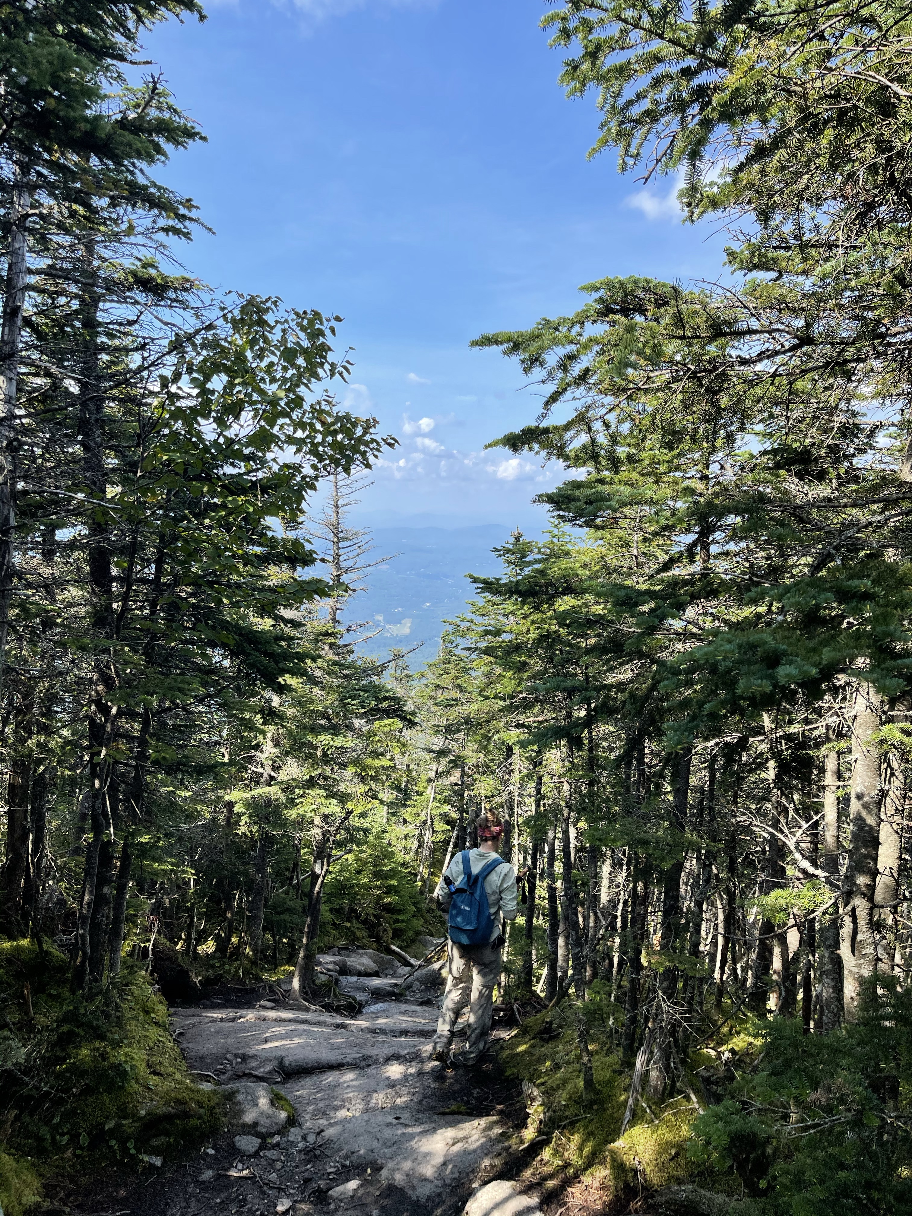
What a day, today has been. The goal today, go up and over South and North Kinsman Mountains and still finish 16.4 miles before dark. Kinsman was… is, now what I consider to be the hardest climb I have done this whole journey. The rocks you have to climb up to get to the top are tall, they are sharp, they are steep.
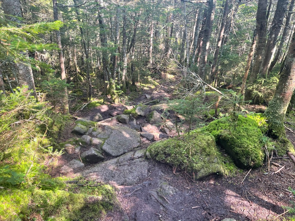
Today was my first big fall of the whole journey. Somehow I managed to go 1,810 miles without a major fall. Now, that’s not to say I haven’t slipped a couple hundred times and fallen two or three before this one, but this was a big one. I was going down hill, slowly, as usual, and stepped on the ground with my right foot and put my trekking pole into a group of tree roots, and that is where I messed up. You see, when I go downhill I rely on my poles pretty heavily and this time, it got me. My pole pushed into the roots and all my weight went that way, from there my right leg collapsed and then I went down onto my knee and landed on my left shoulder and then rolled one time and ended up on my stomach. Nothing broke and only a little soreness was felt the next day. All in all, my daily prayers of keeping me safe from injury was answered once again. I got up, paused for a few minutes to make sure nothing was broken, on me or my pack and then carried on.
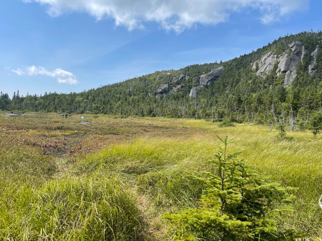
Half way up the climb to the first Kinsman, South Kinsman, I passed the Harrington Pond, it’s really more of a deep swampy area. Harrington pond sits at mile1,812.6 and 3,397 feet elevation. It sits inside the mountains nicely, I did my best to capture in photograph.
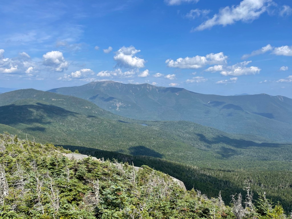
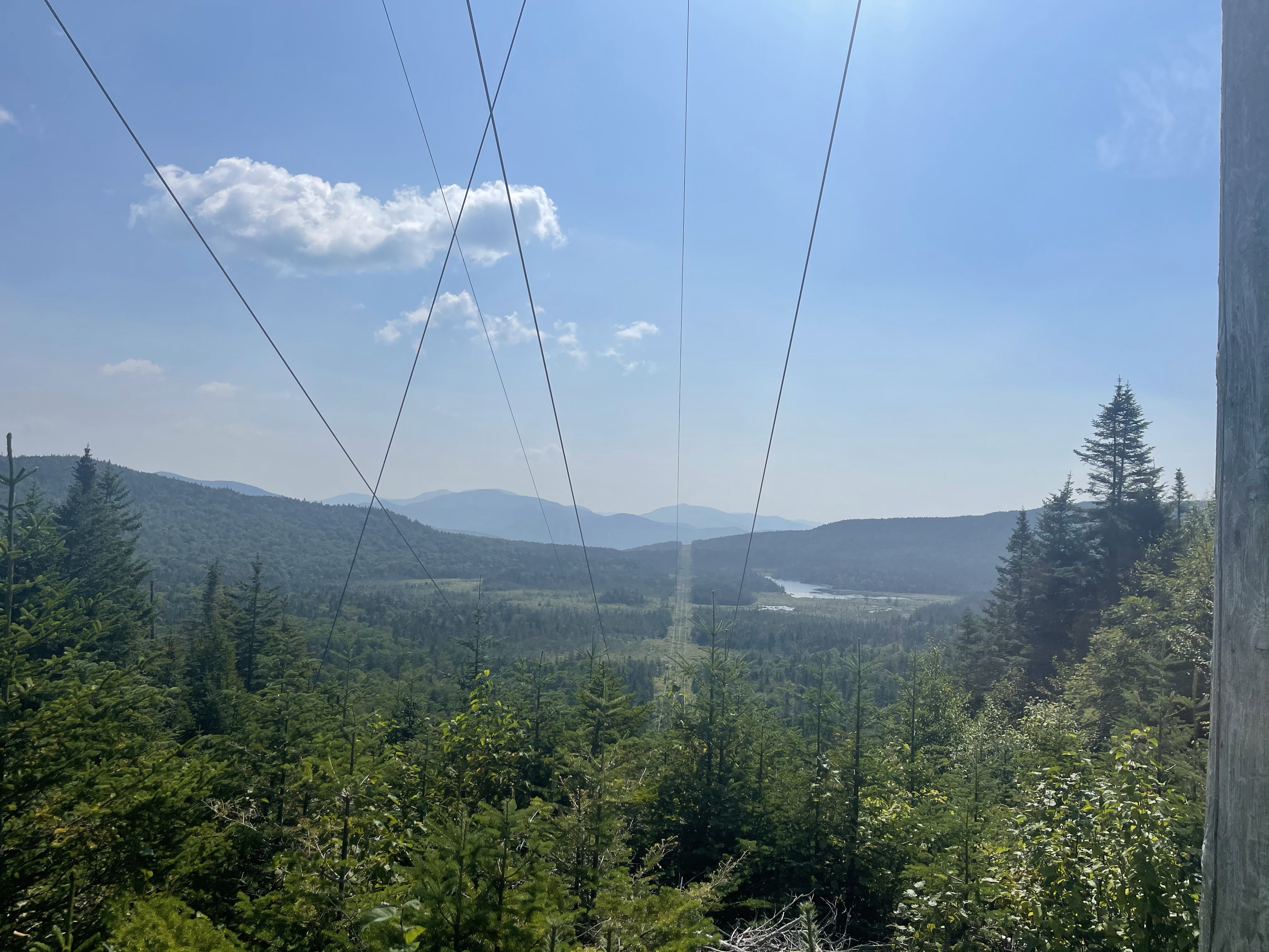
Finally making it, in one piece I might add, up to South Kinsman Mountains peak, we got our second big 360° view of the beautiful scenery around us. SKM sits at mile 1,813.7 and 4,385 feet in elevation. It was noticeable cooler on top of the mountain than it was at the base when we started.
From here we moved on to North Kinsman peak, it sits at mile 1,814.7 and 4,293 feet in elevation. We went downhill and then back up a little so we could get to this peak. It did not have as much of a view as its kin to the south!
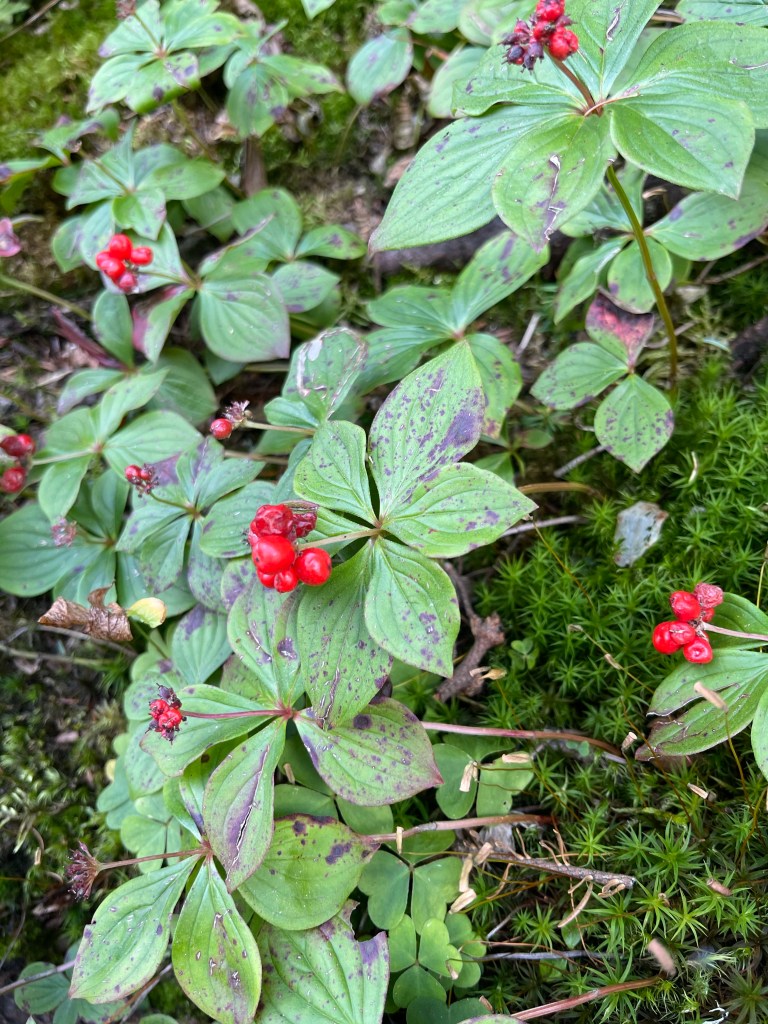
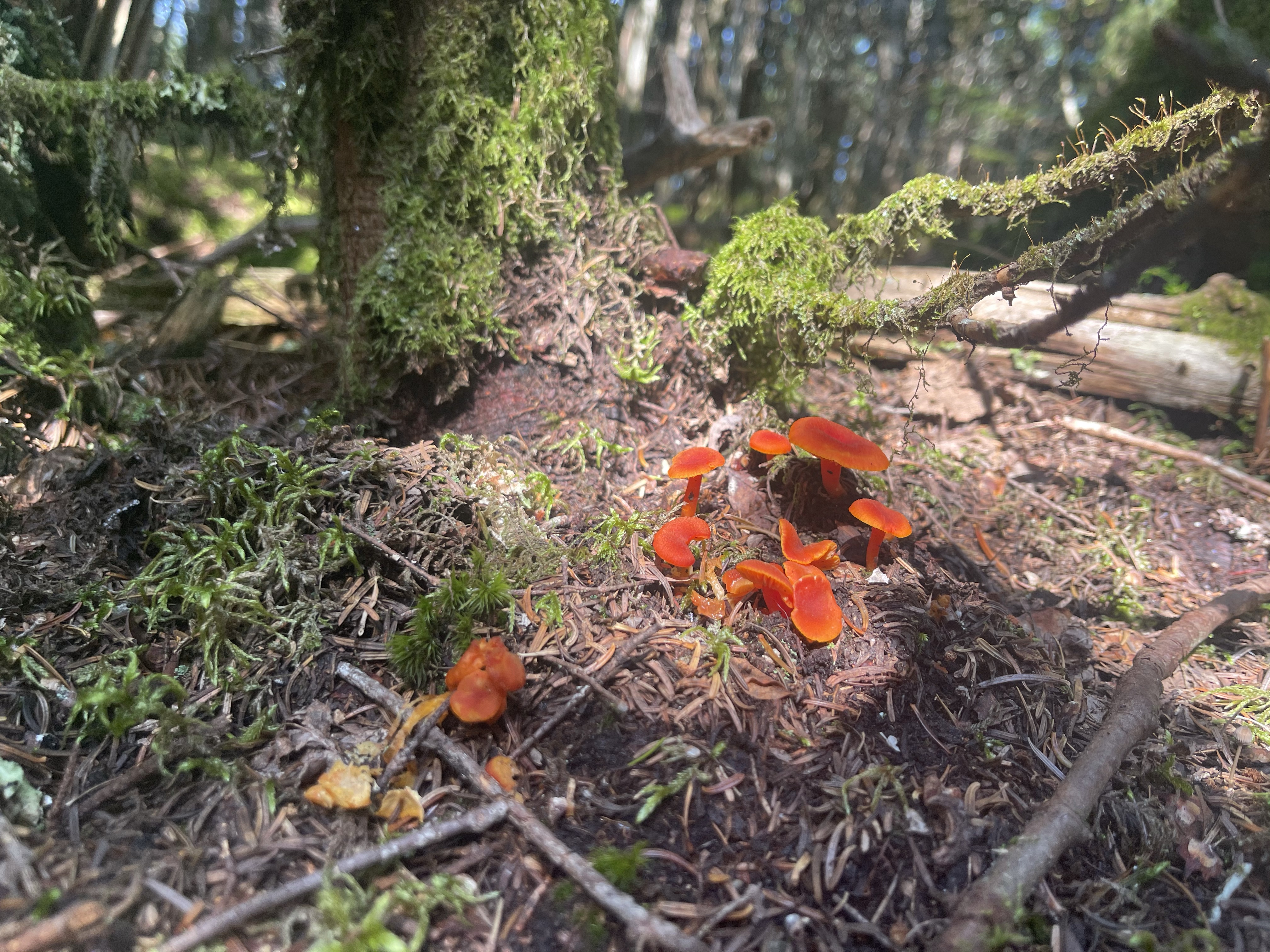
Along the way I started seeing this small plants with a leaf that looks similar to a dogwood and it had a little red bed on it that didn’t really look like it would ever bloom. It’s called a bunchberry dogwood, it’s more of a creeping dogwood than a tree like we normally see back home on the south.
After summiting the last peak we started the descent down to Liberty Springs parking area at mile 1,820.1 and an elevation of 1,416 feet, for a total descent of 2,877 feet!
From here we headed back to The Notch Hostel for the night.
Puppy love, out!


Mom would love that dogwood plant! The pictures you post are gorgeous. Love you!
LikeLike
Glad you’re ok after that fall!!!
Guess Birdie didn’t see you fall?
LikeLike