Nauman tent site (3,803 feet) mile 1,854.1 to a stealth campsite (4,100 feet) mile 1,867.8 for a 13.7 mile day.
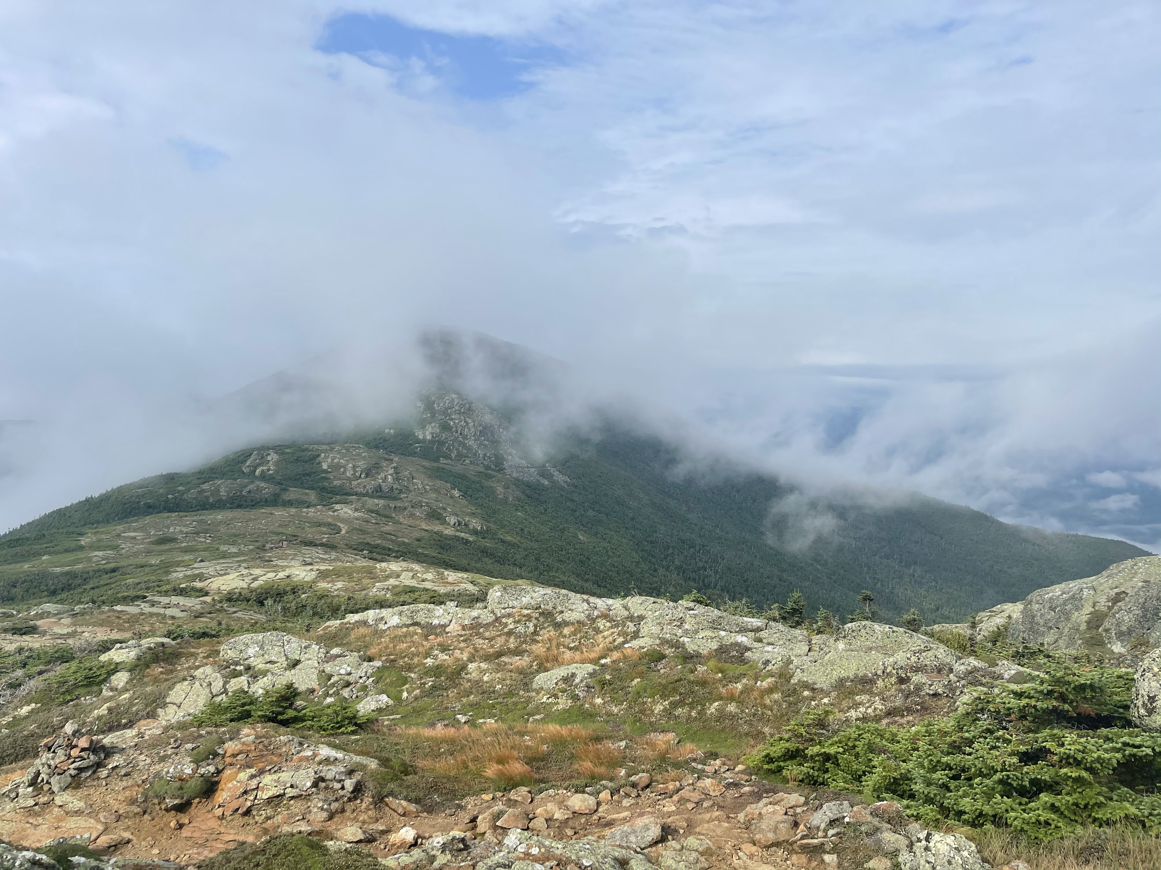
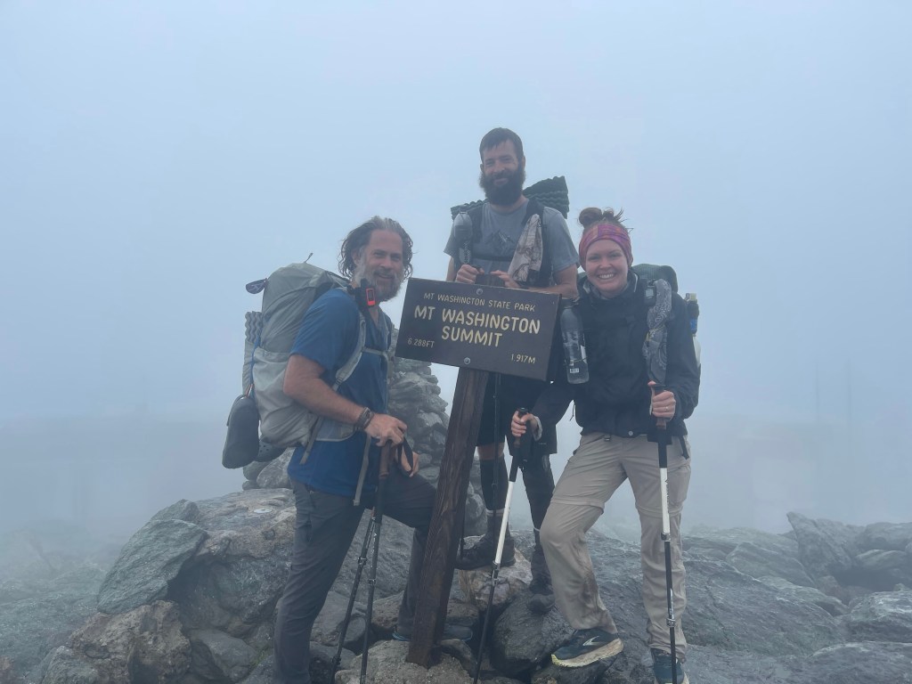
Today was the day that we have been waiting for, our summit of Mount Washington!! First we have two other peaks to work our way around, the start of the Presidential range. Mount Eisenhower (4,780 feet), and Mount Monroe (5,384 feet). Today was absolutely not one of the most beautiful days to be up on these tall mountains, but, it had to be done.
Off in the distance on that photo, middle to the left a little, you can see the Omni Mount Washington Resort.
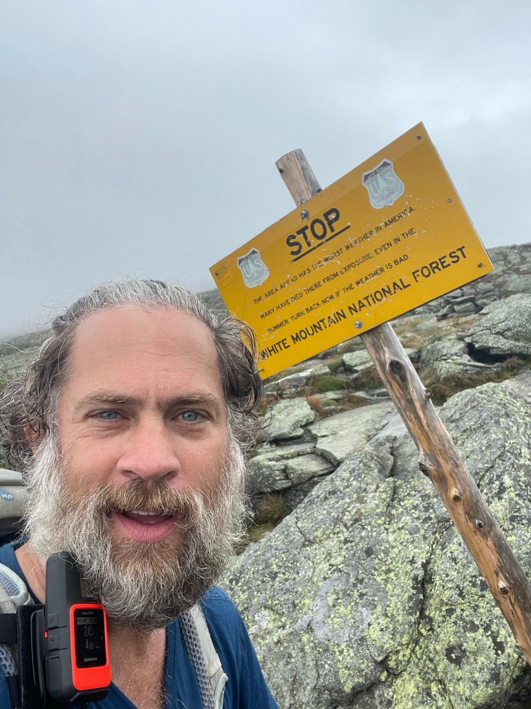
The Presidential Range of the White Mountains is the highest range of mountains in the northeast and is home to the largest above-treeline alpine zone. Mountain Washington has been in view for at least a day now, but now, it is looming larger and larger. When I was 16 years old I climbed Mount Washington for the first time, I don’t remember much of it, but what I do remember, it’s weather has a mind of its own and can be the polar opposite of the lands below. It is home to some of the worlds worst weather with freezing temperatures and hurricane-force wind being common, even in the middle of the summer. Thankfully we didn’t experience any of those today!
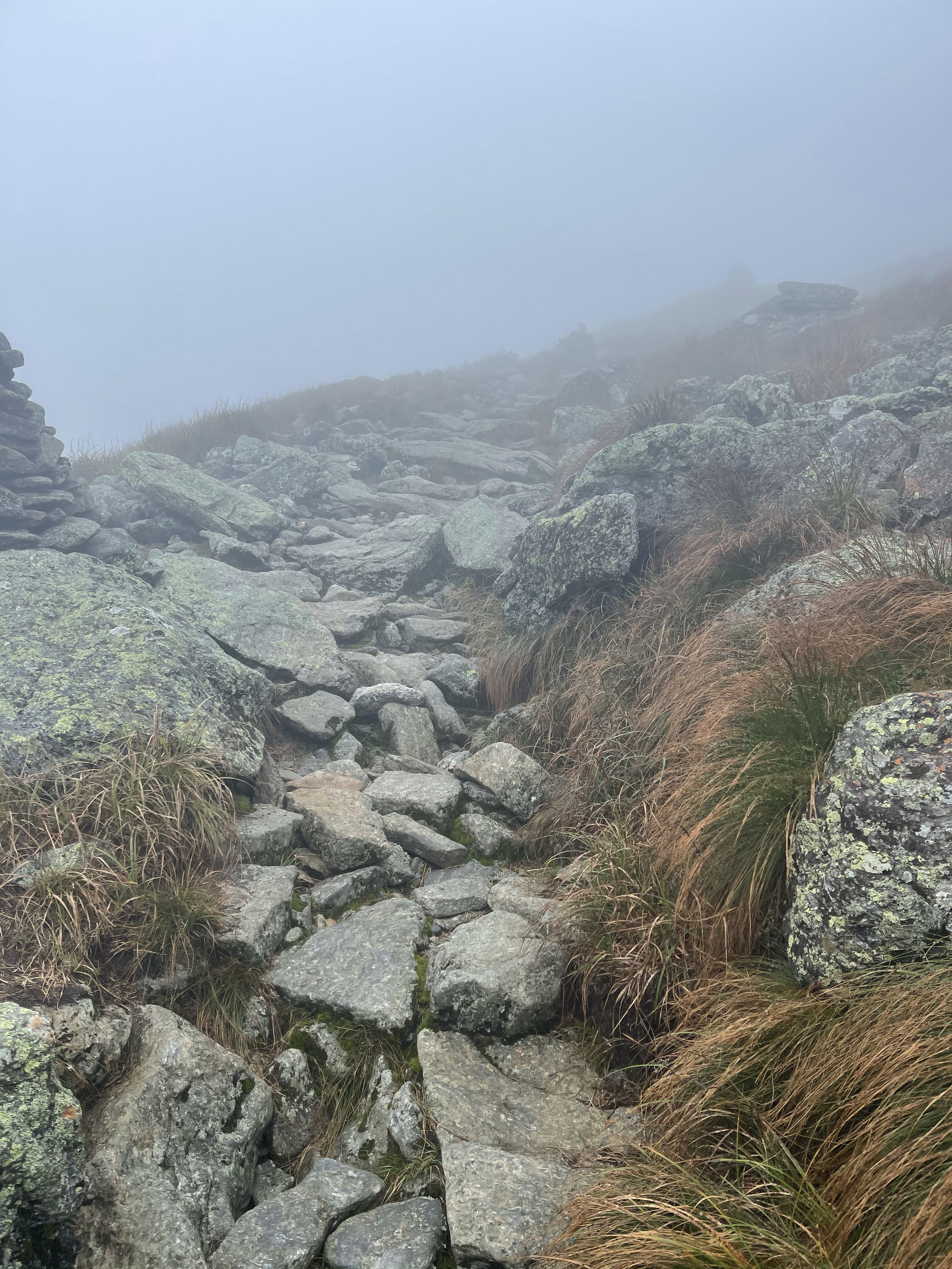
A brief synopsis from the Guthook app, “The peak is accessed by almost a dozen hiking trails, the auto road, and the Cog Railway. Mt Washington State Park operates a visitors center at the summit, as well as a gift shop and museum at the old Tip Top House, one of the earliest mountain hotels in the area. The summit complex is rounded out by the Mount Washington Observatory, a high-tech weather station that is staffed year-round by meteorologists and other scientists.”The mountain is made up of mainly Smart car sized boulders and it was this way for the ret of the days. Finally making it to the summit we stood in line with the car riders and cog riders to take our picture.
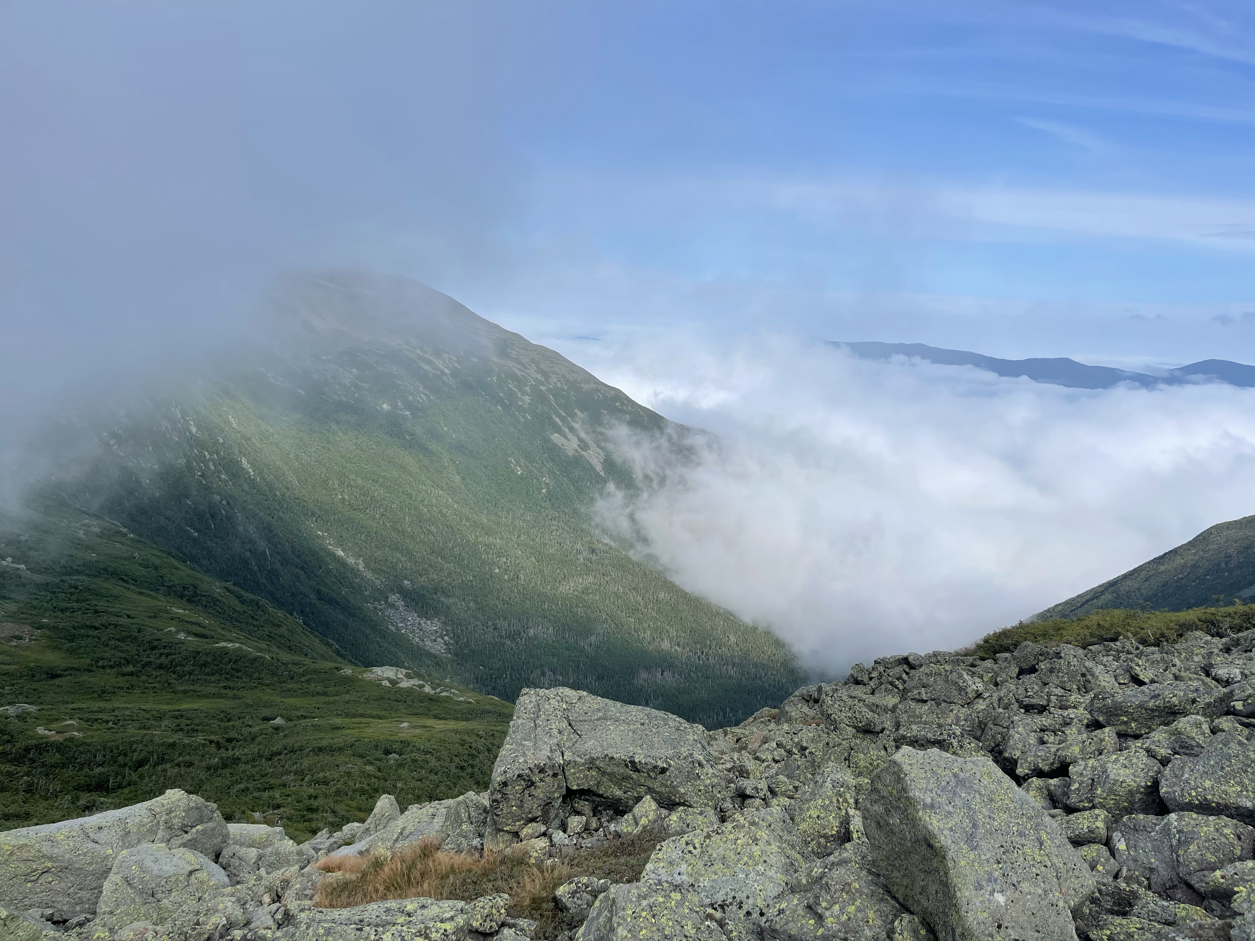
After eating lots of food at the restaurant on the summit we started our journey across the mountain heading for Mount Madison, passing Mt. Clay, Mt. Jefferson, and then Mt. Adams. It’s a little weird making this hike on the “back side” of Washington, we passed the cog track where folks ride to the top without any effort. Haha

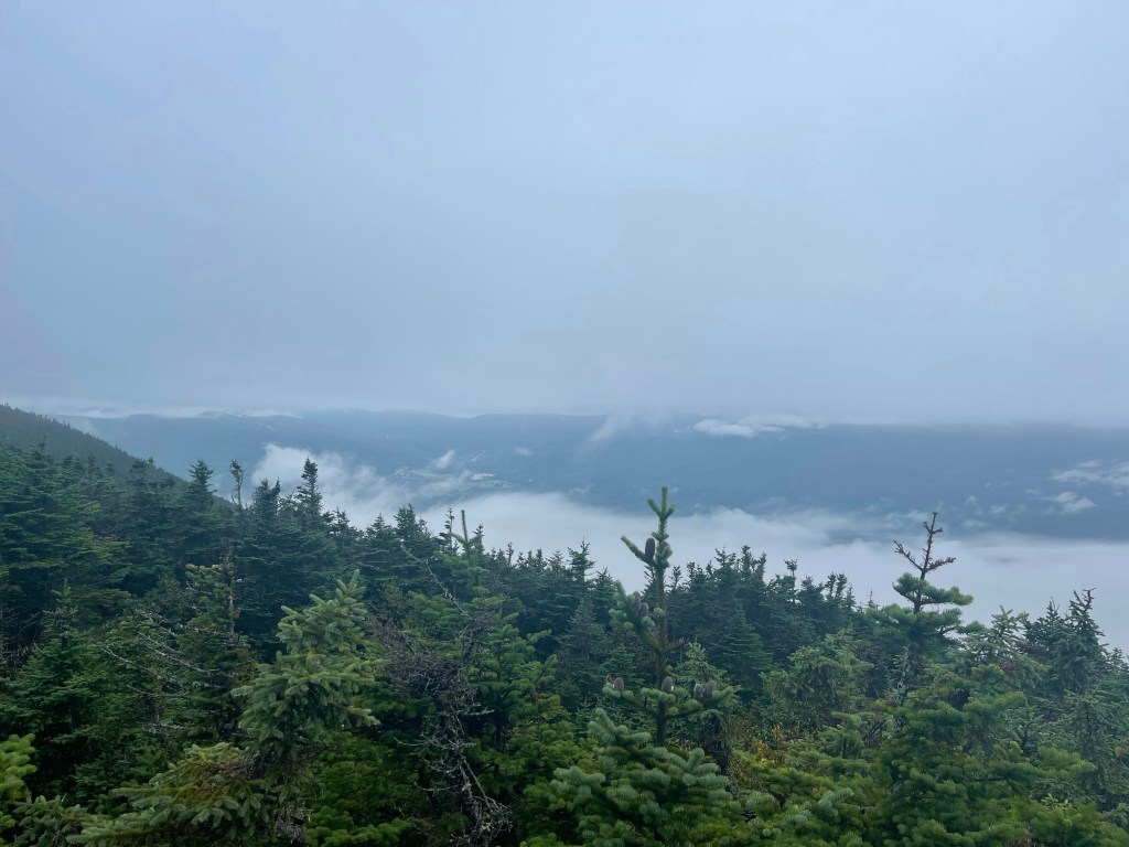
The next several hours were grueling, demanding, and honestly, they down right sucked! We got to the Madison Spring Hut (4,796 feet) at 5:00. We had 3 miles until our next campsite and the terrain was not terrain that would allow for a quick 3 miles. The late climbed gave us some great views of the sun getting lower and lower. Good and bad! We had to get below tree line to be able to camp because the winds were so strong on this open alpine trail.

We finally made it below tree line about 45 minutes before sunset so we just found a stealth spot to hold all three of us and then we bedded down for the night.
Puppy love, out!