Blue Ridge Parkway (3,880 feet) mile 772.2 to Bearwallow Gap (2,214 feet) mile 751.9 for a 20.3 mile day! We ascended 4,730 feet and descended 6,343 feet!
That’s right, we ended at the same place we ended yesterday! It’s called SOBO, or south bound. Not only did we SOBO, we did it slack pack. Suzanna dropped us off farther north on the Blue Ridge Parkway and we walked the 20.3 miles back to where she picked us up the day before. You may be asking yourself why, well, I’ll tell you to go look at the descended portion of that opening paragraph, that would have been our ascent, you may also be saying to yourself, you still ascended 4,730 feet, and you would be right!! It was difficult too! Of course it was spread out over 20.3 miles but it was still a tough day and it was made tougher by the ending, more on that in a bit.
So, I have been having the hardest time this past week. My feet have been killing me and it has become so discouraging to me. It is made worse when we have these toad strangler rains and there is no way to stay dry from what to toe. There have been several days that I feel like throwing my pack and walking to the nearest road and getting a ride to the nearest town to wait on Suzanna to come get me. Those same days, when I finally made it to camp, I would set up my tent, eat and then get in my tent not wanting to be around anyone and all I could do not to cry! The worst part was, I have had very little phone service so could talk to no one about it at all. Today was not one of those days, but what it was was a day I talked to my buddy Rob at Outdoor 76 and found a possible solution. I had already changed my shoes and have worn them a week as of today, but now, all the rain with the new shoes brought me blisters on my toes!! So Rob taught me a tie that would allow my toes to have more movement and it has felt great as of this afternoon. It’s a double overhand knot on the second going into third eye.

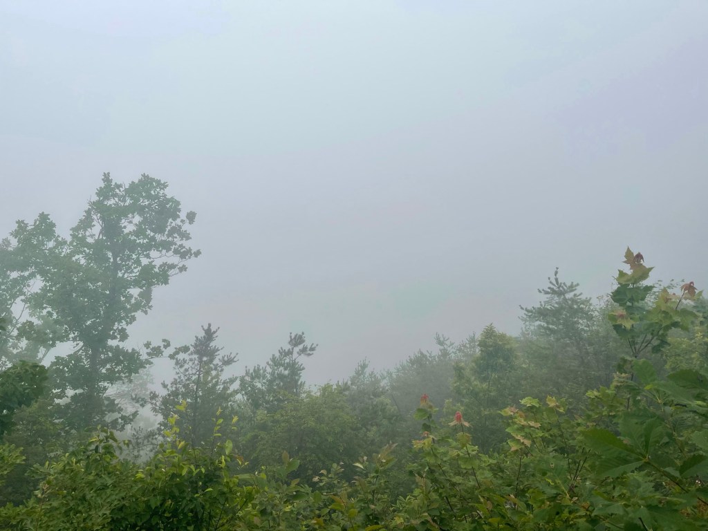
We hiked on our my quick call and enjoyed some nice cloud covered skies along the trail. Going southbound, we were able to see lots of old friends who we have met along the way. We counted 69 different thru-hikers heading northbound!
For lunch, we stopped at, Bryant Ridge Shelter. It is one of the largest shelters on the Appalachian Trail. It is a towering, double-decker with space for around 20 people.

We arrived at the shelter and saw about 15 other hikers, most of them from one tramily (trail family), it was great to reconnect with friends we have met along the way to catch up on trail happenings.
Grabbing water from the nearby stream we made our way south again. We pushed another 7 miles to the Cove Mountain Shelter, it was not as “fancy” as the other shelter. Here, we sat for a brief foot break before heading back out on the trail. While there we met a guy from Rock Hill, SC, he was doing a LASH ( long ass section hike), basically pick 100 plus miles and take the time to hike it… that’s a LASH.
Now, back on trail for about 20 minutes and the sky was looking worse and worse and the thunder and lightning was getting closer and closer. By this time, we still had over 4 miles left to hike and most of that was uphill. Well, it wasn’t getting closer anymore, it was on top of us, and it was raining hard, sideways and all!! It rained for the next hour and a half that it took us to get back to the road, where Suzanna was to pick us up!
We finally made it down to the road and since Suzanna was not there yet, we went and waited under a Blue Ridge Parkway bridge for Suzanna to show up.

