Jenkins Shelter (2,246 feet) mile 580.5 to VA Route 612 (2,599 feet) mile 592.6 for a 12.1 mile day! We ascended 2,550 feet and descended 2,344 feet!
Today was a relatively short day, but it was a happy one!! Today Suzanna was coming to town to spend the weekend with me! This meant no breaks, just lots of fast walking!! It was awesome, James, Kelly’s husband, made bagels and brought us a bunch of them, he even made fresh cream cheese!!
It was really an uneventful day, not much for long range views, but some nice under canopy views. We pushed hard and walked fast. My feet have been feeling really sore and tired by around 12 miles. I need to start stretching more so they will not hurt as much so soon! I’d love to be able to start doing 20 mile days soon as a norm!
Right now, we are trying to do 16 miles minimum per day, if we are feeling up to more at that point, we decided and live with that decision.
Today was no different than the rest, except there was not a lot of high long climbs. Most of the climbs were shorter in elevation gain and in distance. I don’t remember who maintains this section of trail but they do a good job on their switchbacks. These help the climb today seem a whole lot more bearable.
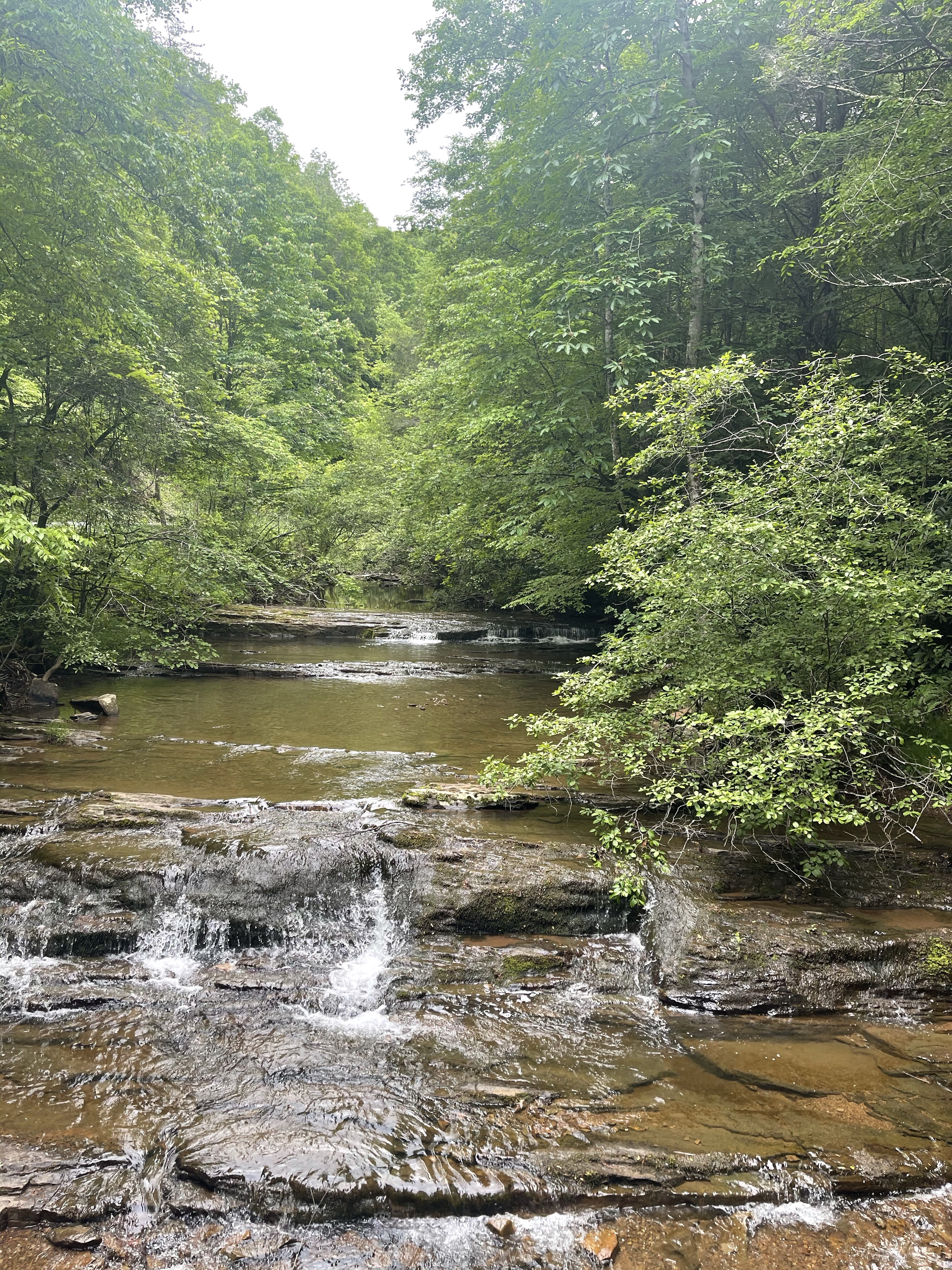
We later passed over the beautiful, Laurel Creek! It had an amazing bridge over it with nice cascades and a sound that would put anyone to sleep, but, there were no campsites here and we had a bigger goal, get to our people at the Interstate.


We continued on up the hills and back down then again, it’s the way of the AT! We hiked down passed power lines

and onto a road that lead us to interstate 77.
Passing from near Bland, Va. to Wytheville, Va., which is where we had a hotel reserved, I noticed what seems like a unique landscape that we are walking through. If you look at this area on Google maps or Google earth, you will see that the Appalachian mountains in this area have broken out into four lines of smaller mountains, these are the ridges we are walking.
Mad Scientist, out!
