Woods Hole Hostel (3,175 feet) mile 625.5 to Rice Fields Shelter (3,354 feet) mile 644.2 for a 18.7 mile day! We ascended 3,937 feet and descended 4,701 feet!
What a day! We woke to freshly ground coffee and a wonderful view of the garden and mountains in the distance at Woods Hole Hostel.

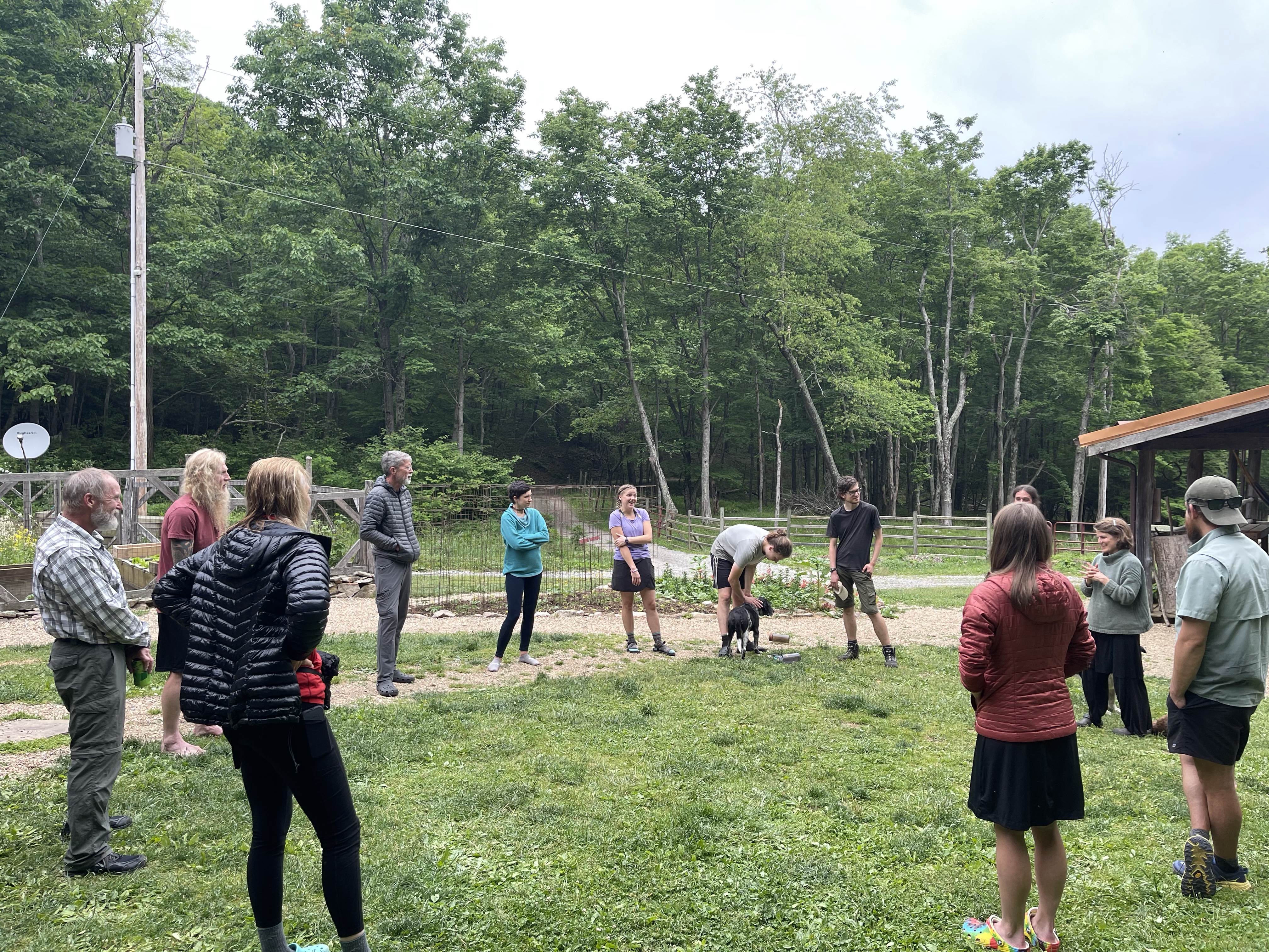
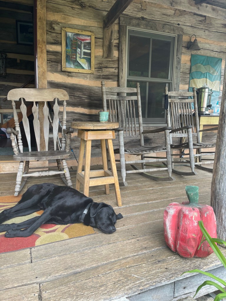
After pouring a cup of coffee I sat on the porch with Mountain Sage. He was an interesting hiker, with a great heart and an amazing service doggo named “Sam”, oh, that was his casual name, his commands name was different. In other words, when MS wanted to give commands to “Sam” to work, he called him by his other name, I just don’t remember it. You see, mountain sage has Parkinson’s, and his trembles keep him from doing a lot of things that we take for granted, signing a Trail journal at a shelter or hostel for instance. Setting up his tent is more difficult with the trembles too, but MS pushes through and does it nonetheless! Well, today, MS was going to be on the phone with a company in California that makes a device that he can wear that will allow him to control his trembles and may even allow them to be turned off completely!!! So amazing!! He was super excited about it last night as we were on the phone with the company making an appt for today’s call. I wasn’t going to be around but want to check in and see how it went!
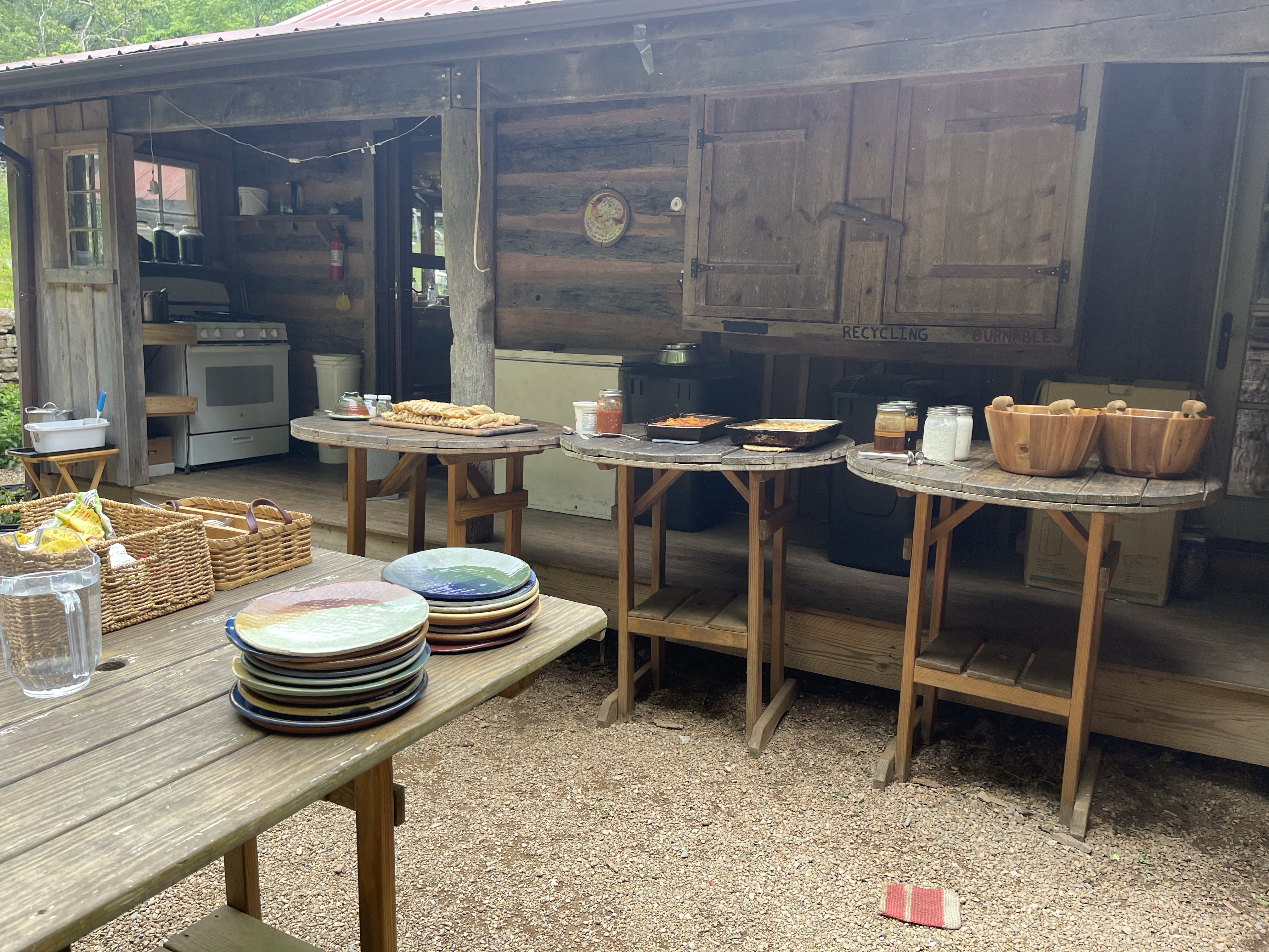
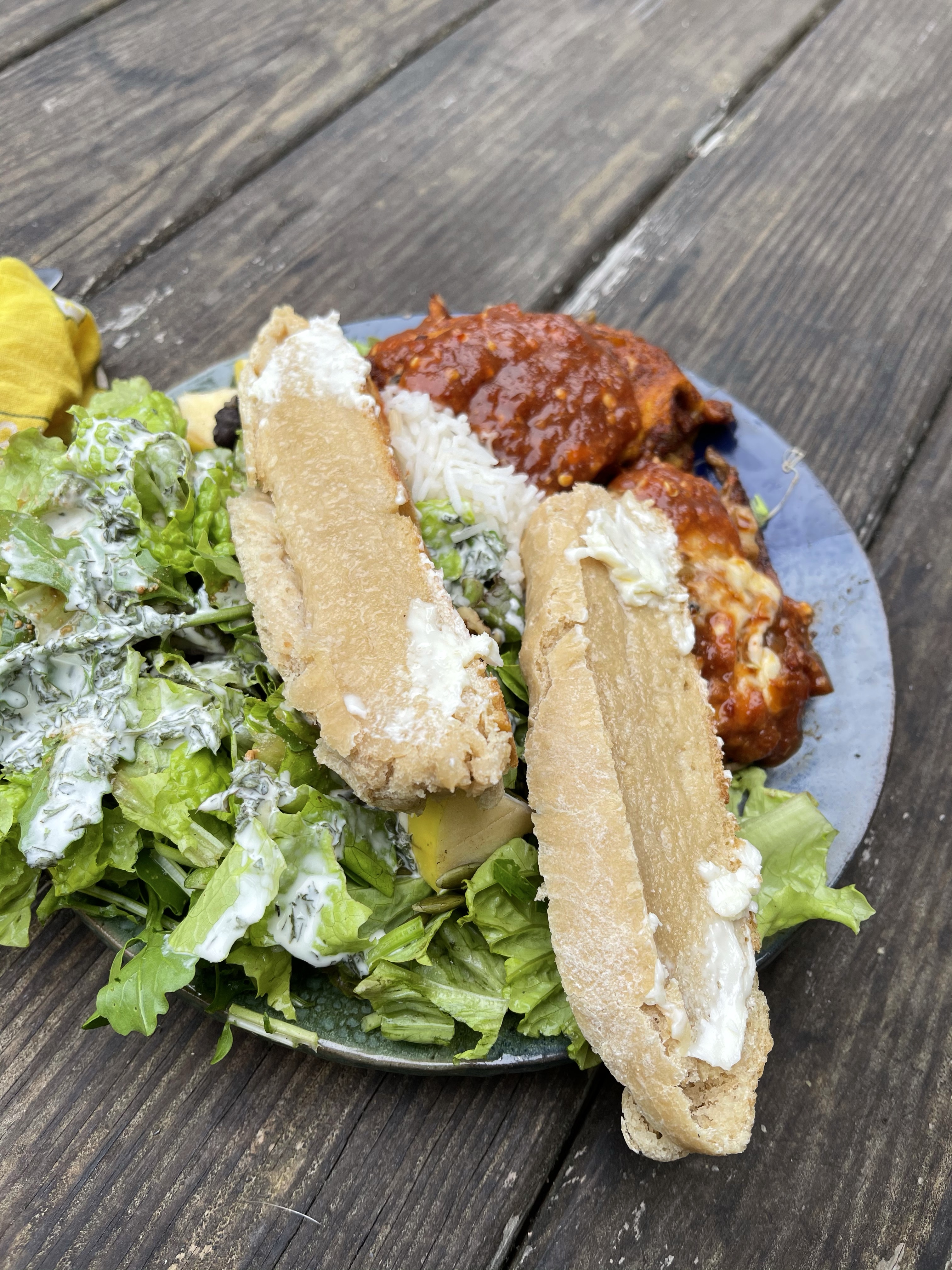
After coffee on the porch came the most amazing breakfast!! This was after the huge meal last night with salad, fresh from that garden, Mexican lasagna and fresh bread! Sorry, back to breakfast!!

Someone had already taken an OJ and messed the AT logo up. There was more bread, eggs, a bread pudding looking thing, a oatmeal baked dish, and oatmeal with all fresh topping options, oh, and fresh apple butter!!!! Did I mention the fresh bread??

Anyway, now I’m hungry!
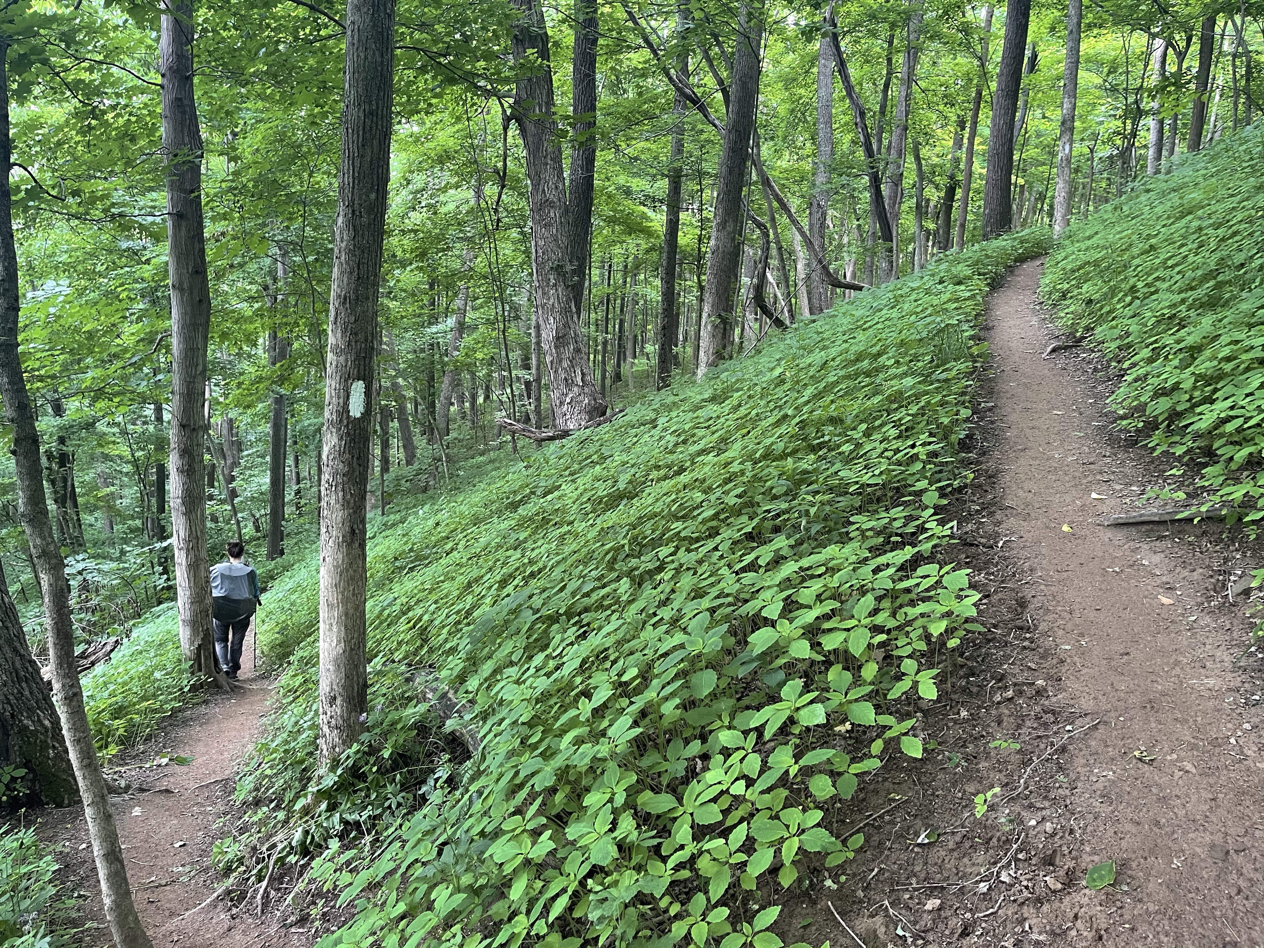
We hiked the .5 miles out of the hostel back to the AT and then hiked up from there to check out the shelter on the way, it had a deck and Adirondack chair, of course we had to stop!

We kept going from here, we couldn’t wait around for too long because it was going to be a long day.
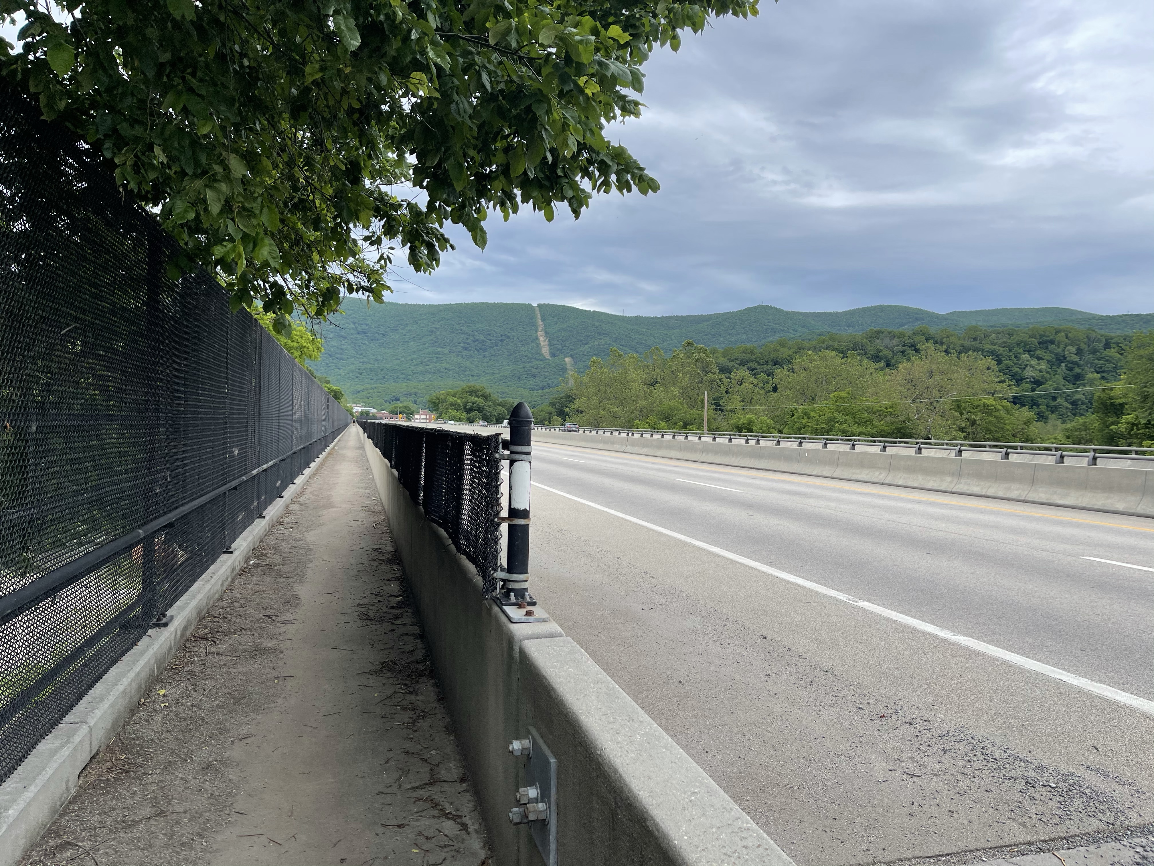
We came up to a great view of parts of Pearisburg, Va. the next town we would walk through, or later we found, we walked near. Sorry, but, I’m in this picture!

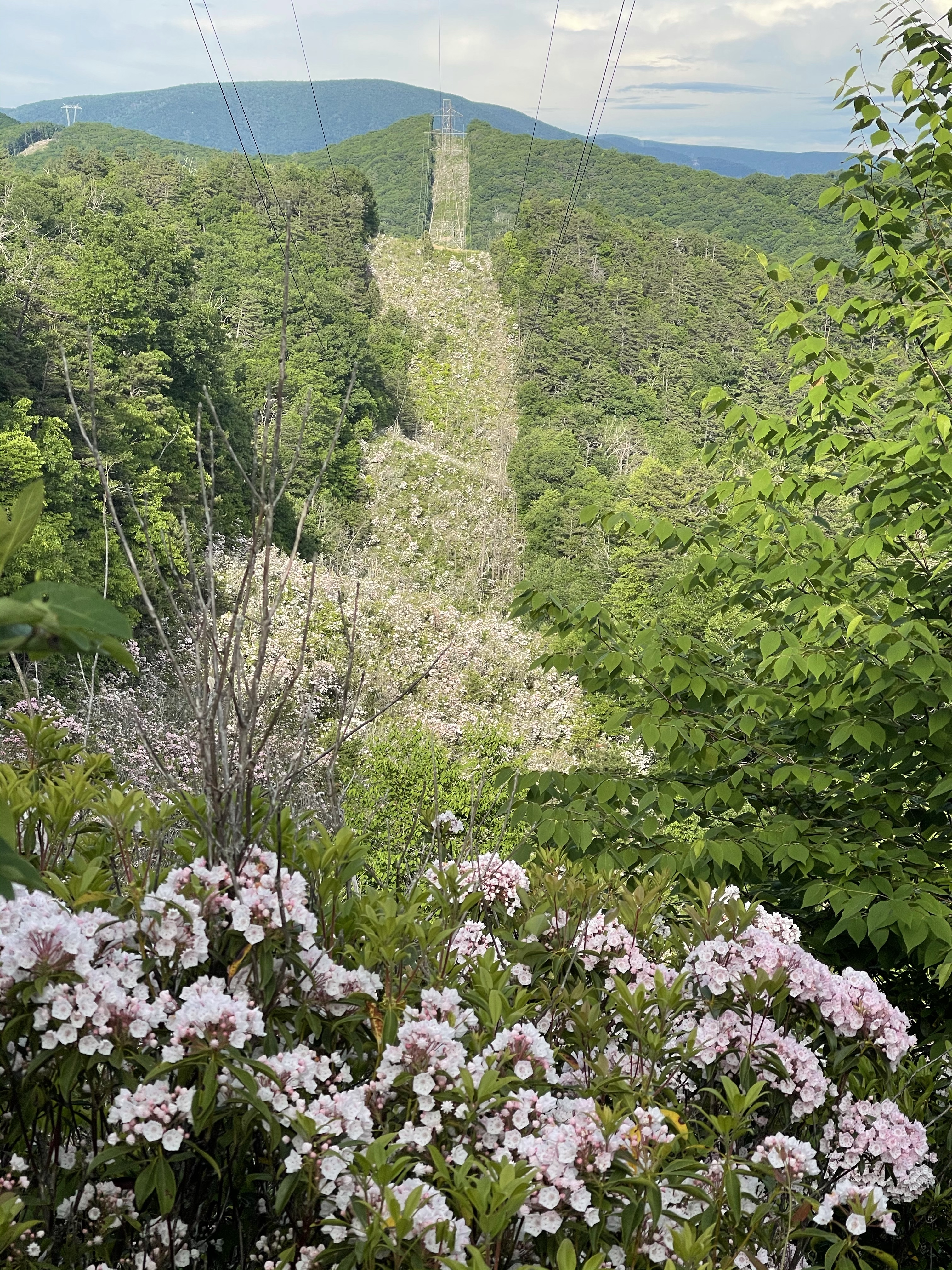
From here we hiked on to our lunch spot, Angels Rest, for obvious reasons, that’s where angels rest. This view was of Pearisburg, Va. in fact, this view played a roll in the civil war. From the book, “Hiking Through History” pg. 36, written by Leanna Joyner a 2013 through hiker, it says, “ In Rutherford B Hayes May 8 diary entry, he wrote, ‘spotted a confederate officer with a large spyglass examining the village from a high mountain whose summit, two miles distant, overlooks the whole town.’”Here we sat, not looking through a spyglass but nonetheless examining the town below as well as the mountains we were about to hike up to.
After nearly losing my shoe over the edge of the rock I was enjoying lunch on, I like to take them off at lunch and left my feet rest, we moved on to the remaining 10 miles. Oh, details, I kicked my shoe off, not thinking about the angle of the rock, and it rolled several time before coming to a stop right on the edge of the rock, which had a 12 foot drop to another slope, the side of Pearis mountain!!

We finally made it to camp around 7:15 or so, but just in time to attempt to watch the sunset.