AT Thru-Hike Day 122

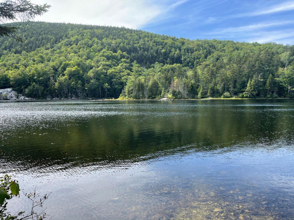
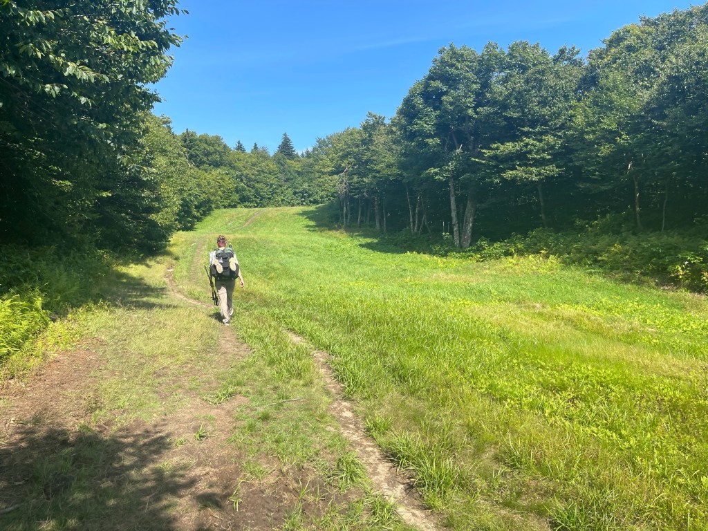
Goose Pond Road (941 feet) mile 1764.9 to Lyme-Dorchester Road (1,103 feet) mile 1770.4 for a 5.5 mile day.

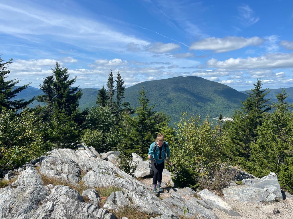
Today and tomorrow are slack pack days with Suzanna. Today is August 21, 2021. I turned 48 years old today. I needed miles and didn’t want to take all day Sunday to do the 13 miles, so I broke it up into tiny pieces so I could spend time with Suzanna both days instead of just Saturday and then only dinner Sunday. It worked out great and we had a great weekend together.

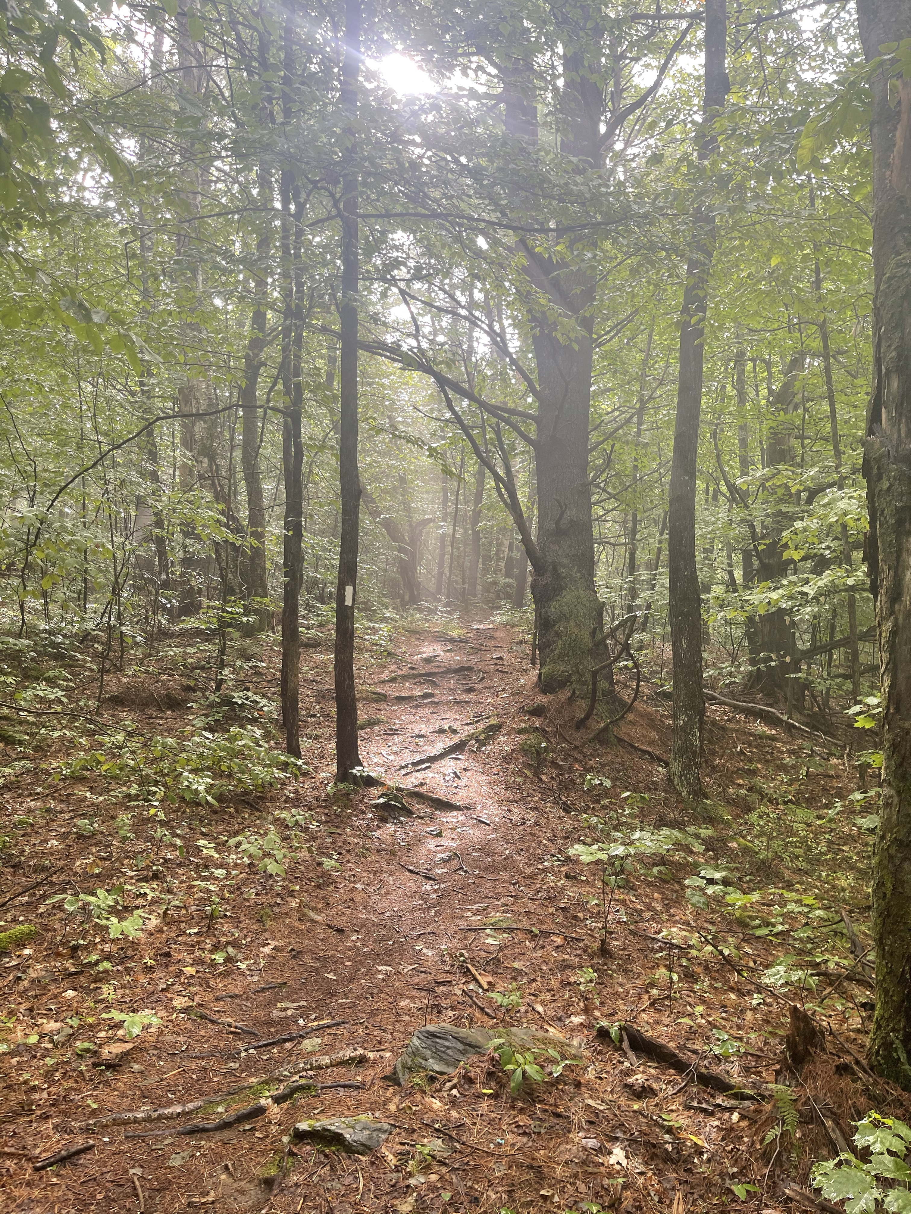
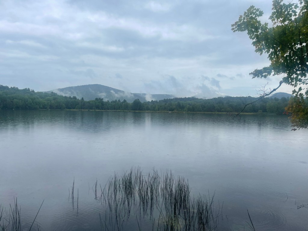
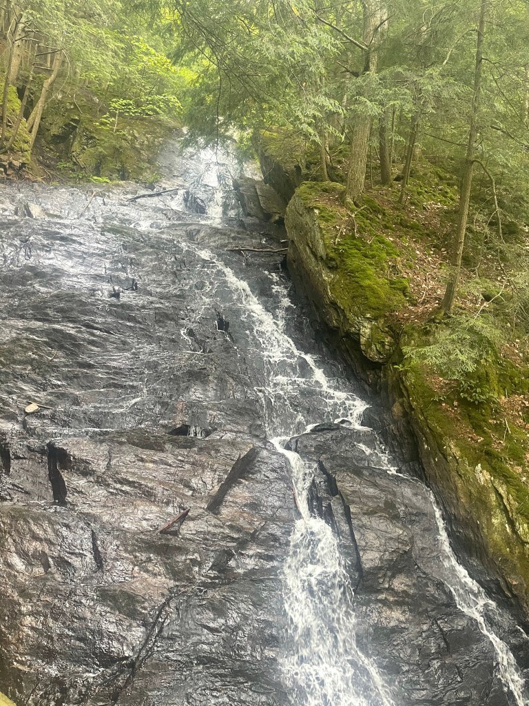
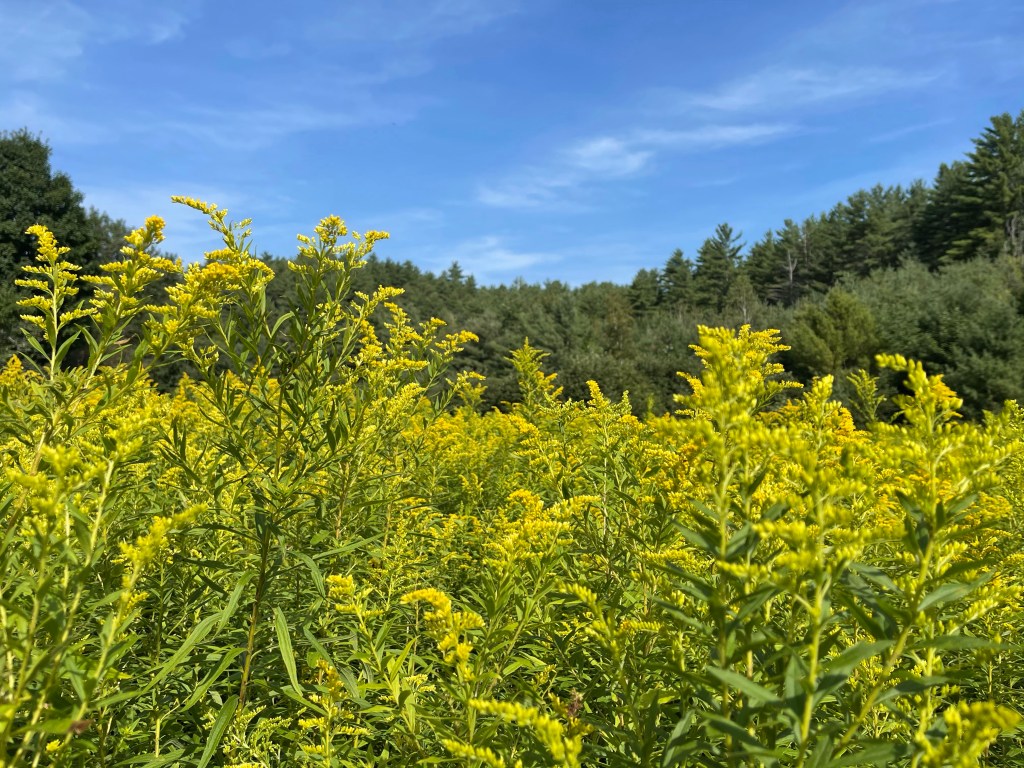
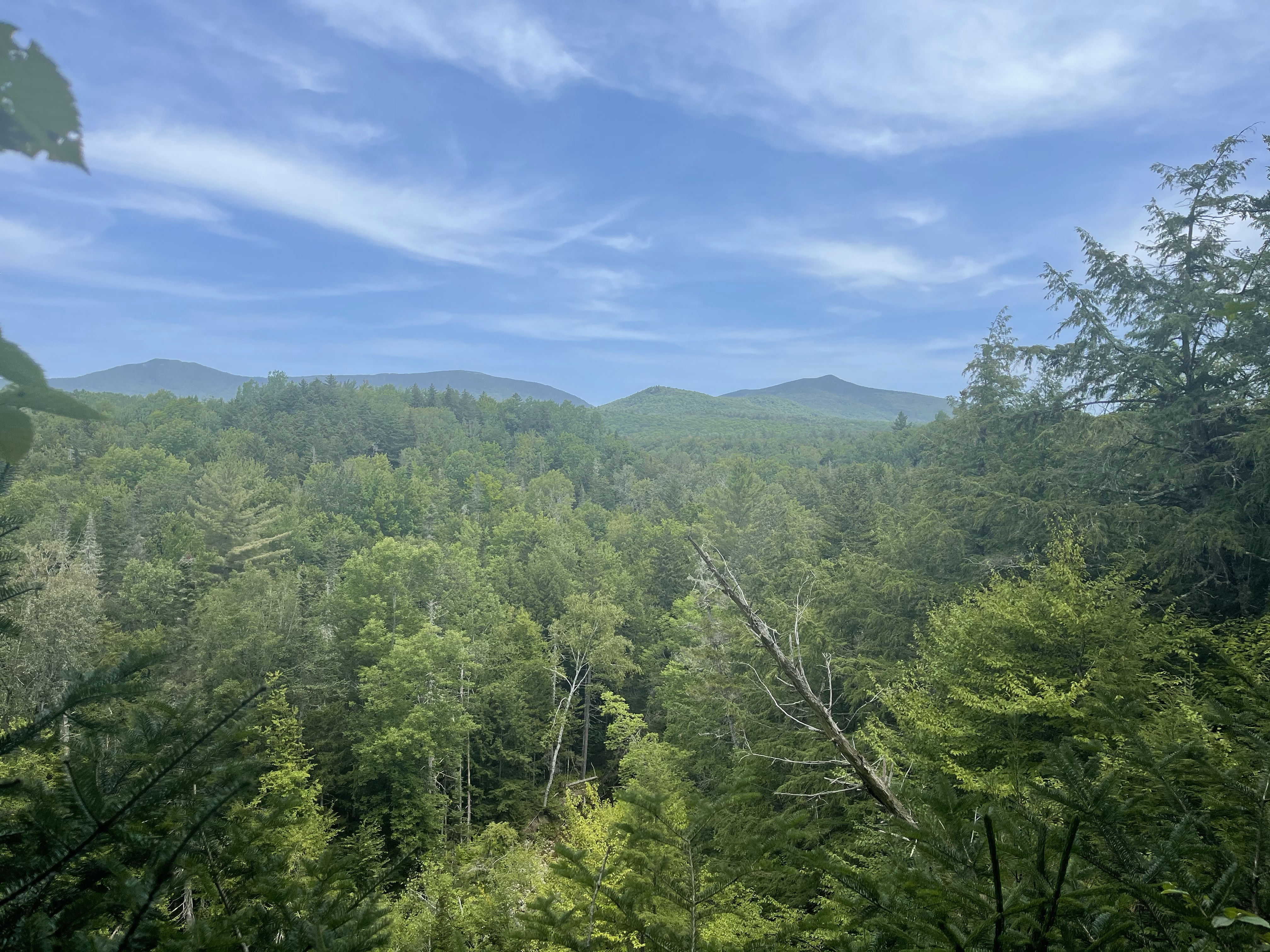
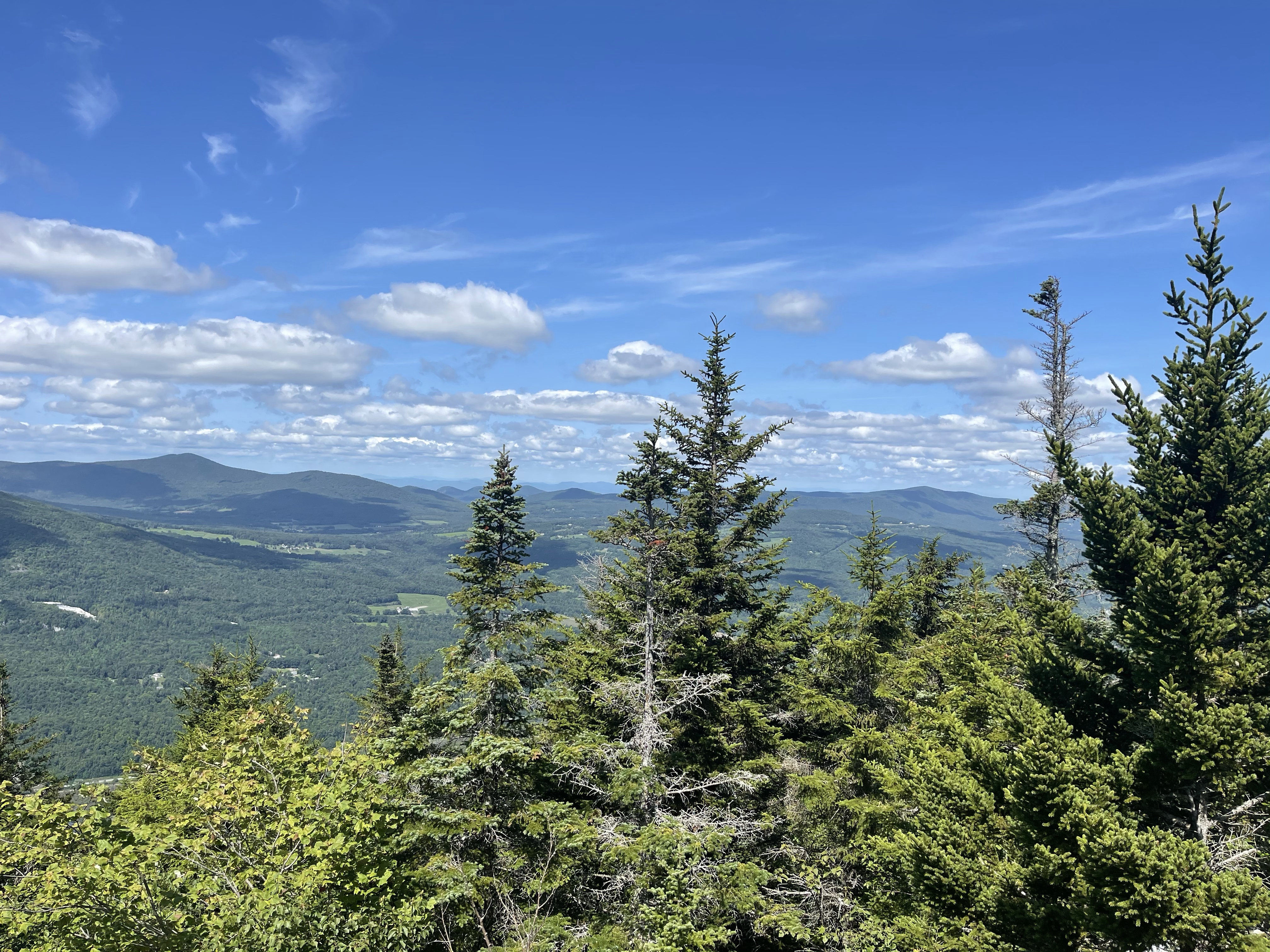
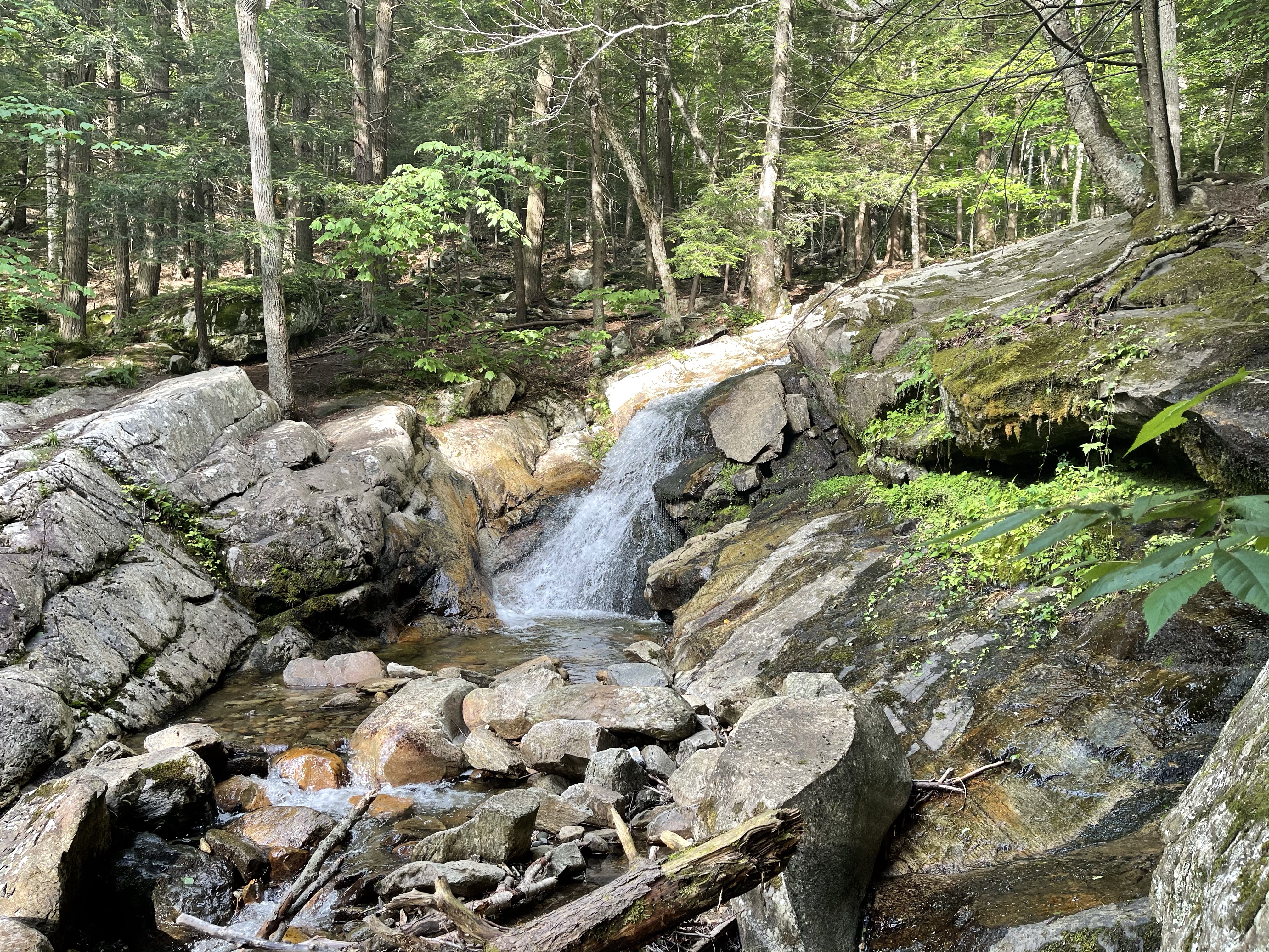
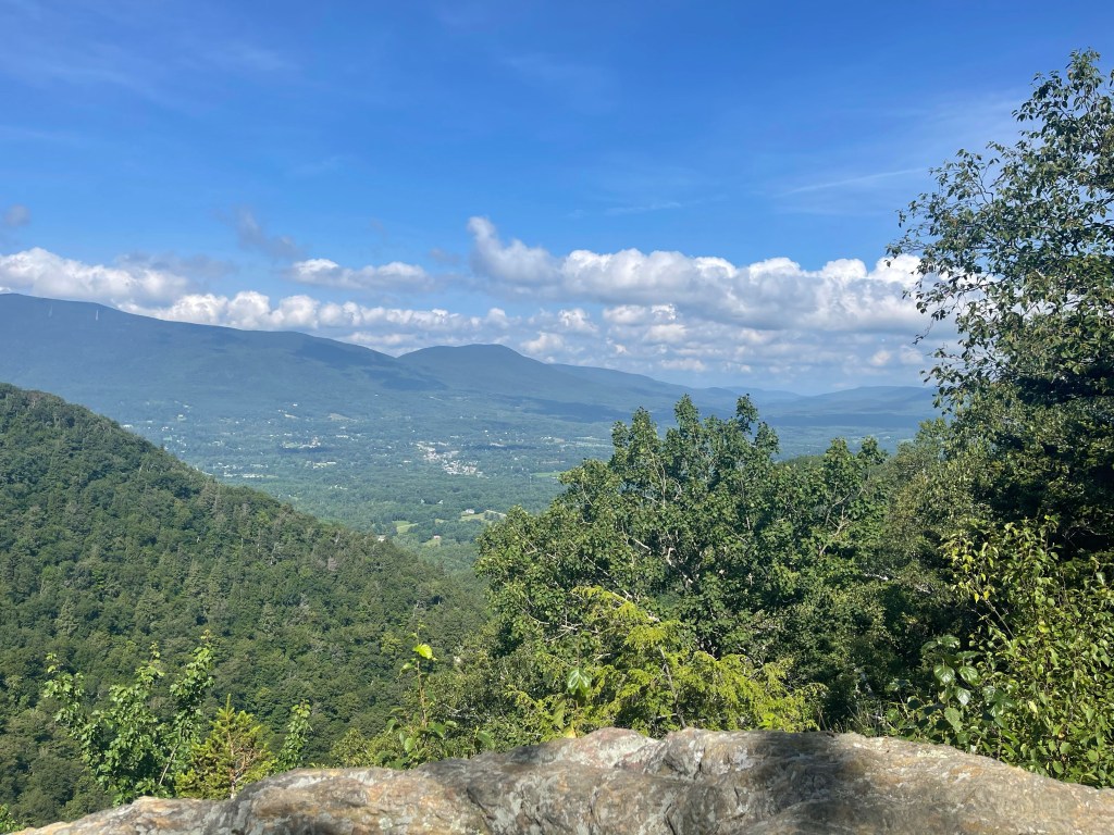
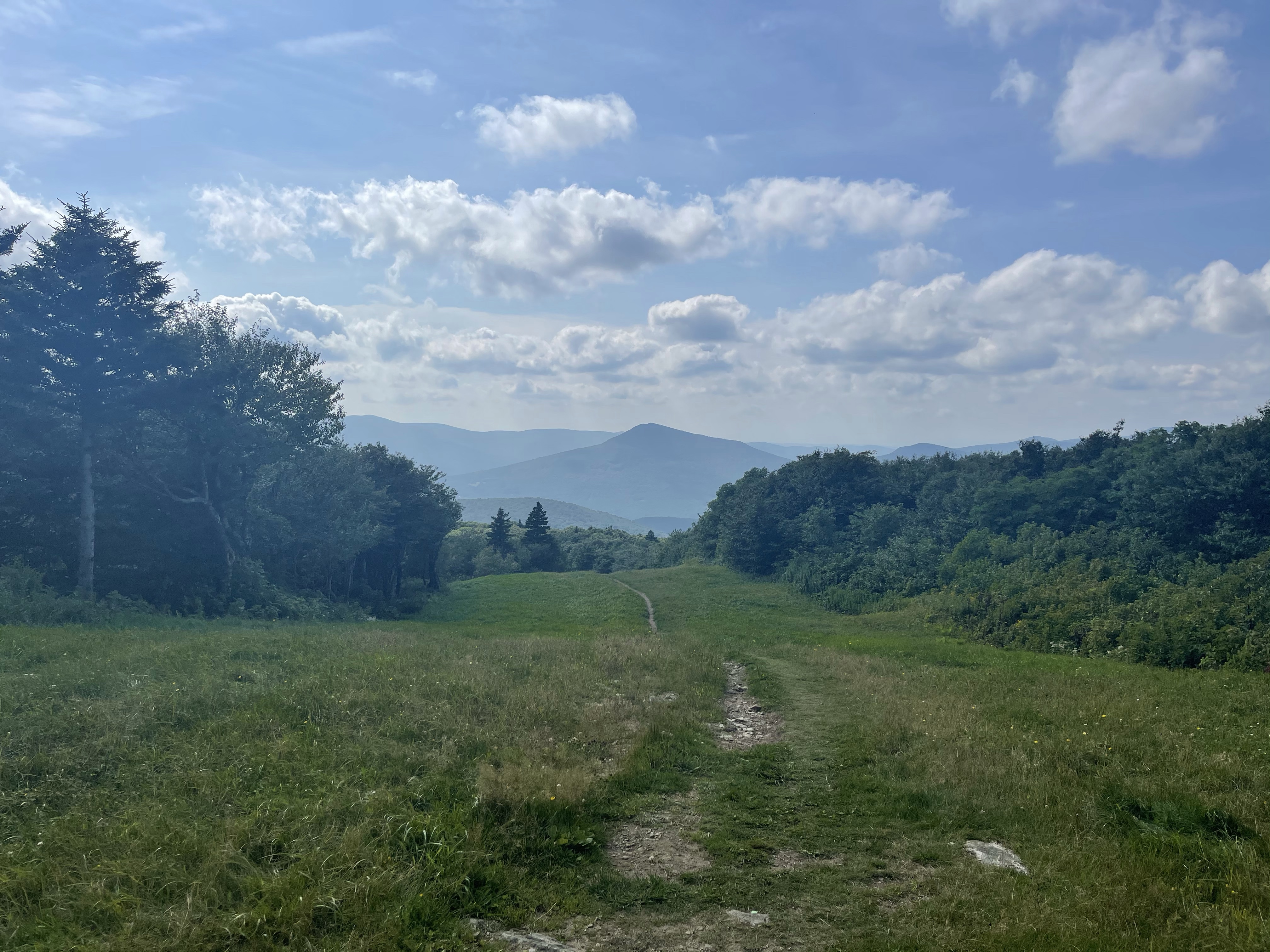
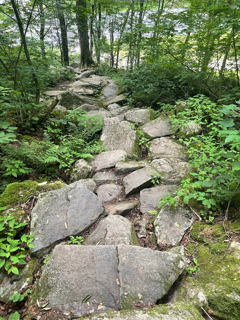
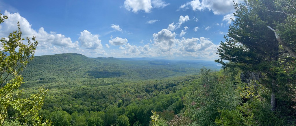
It was literally an up and down day today, but, at least at the top of my up was this beautiful New Hampshire view! It’s so great to be back in mountains again!!

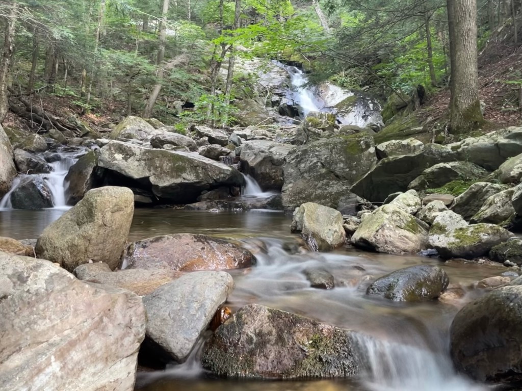
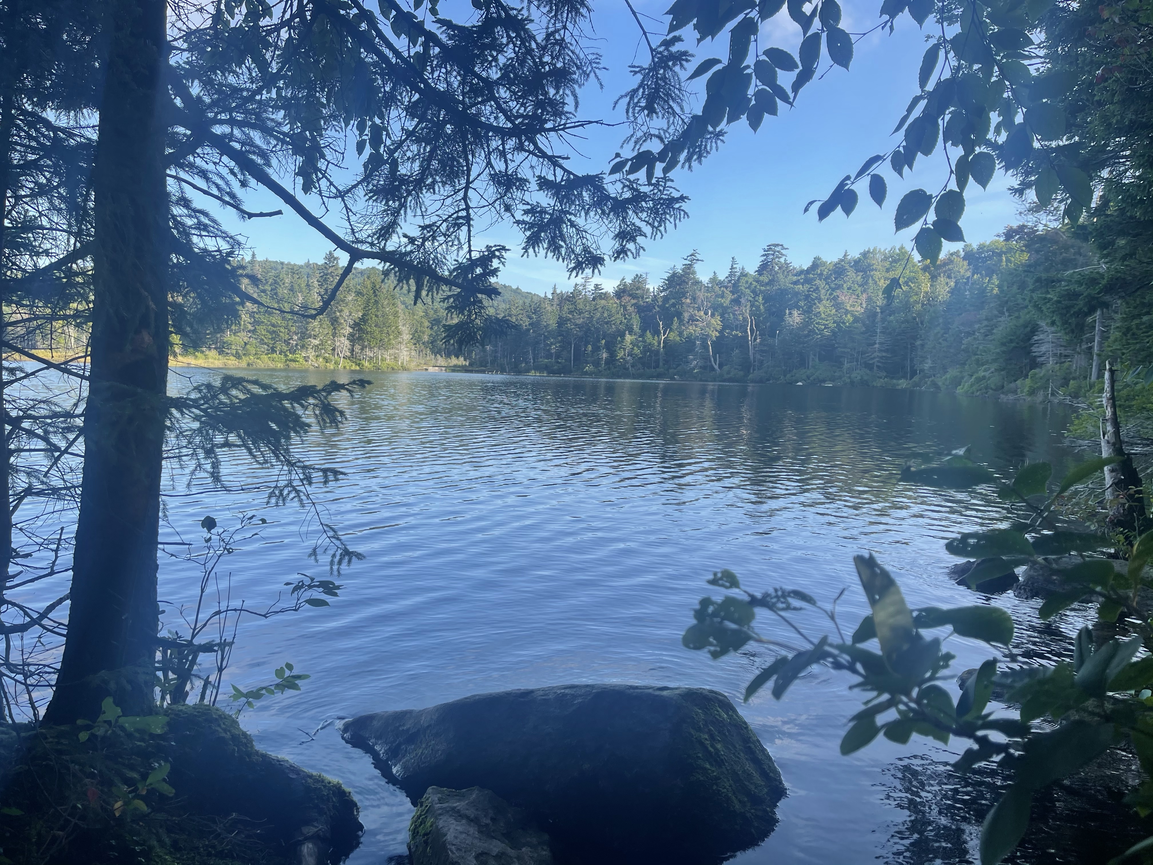
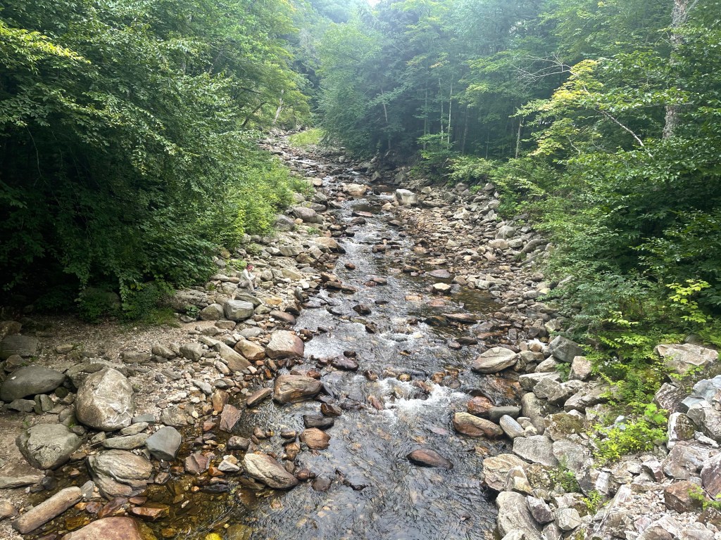
I finished my short day and walked out into the highway where I saw the car parked in the parking area. I ran towards the car to say hey to Suzanna, but I noticed she wasn’t there. I got really nervous for a second because I had told her that if she wanted to she could head south on the trail and meet me at some point and then walk with me. My first thought, she went the wrong way!!!! Which meant I was going to have to run to catch her.! Not the case at all. She had her shoes off and was playing in the creek! 🥰🥰

AT Thru-Hike Day 123

Etna Rd. (825 feet) mile 1756.8 to Goose Pond Road (941 feet) mile 1764.9 for an 8.1 mile day.

One day over 48 now and I’m still hiking the AT. Haha

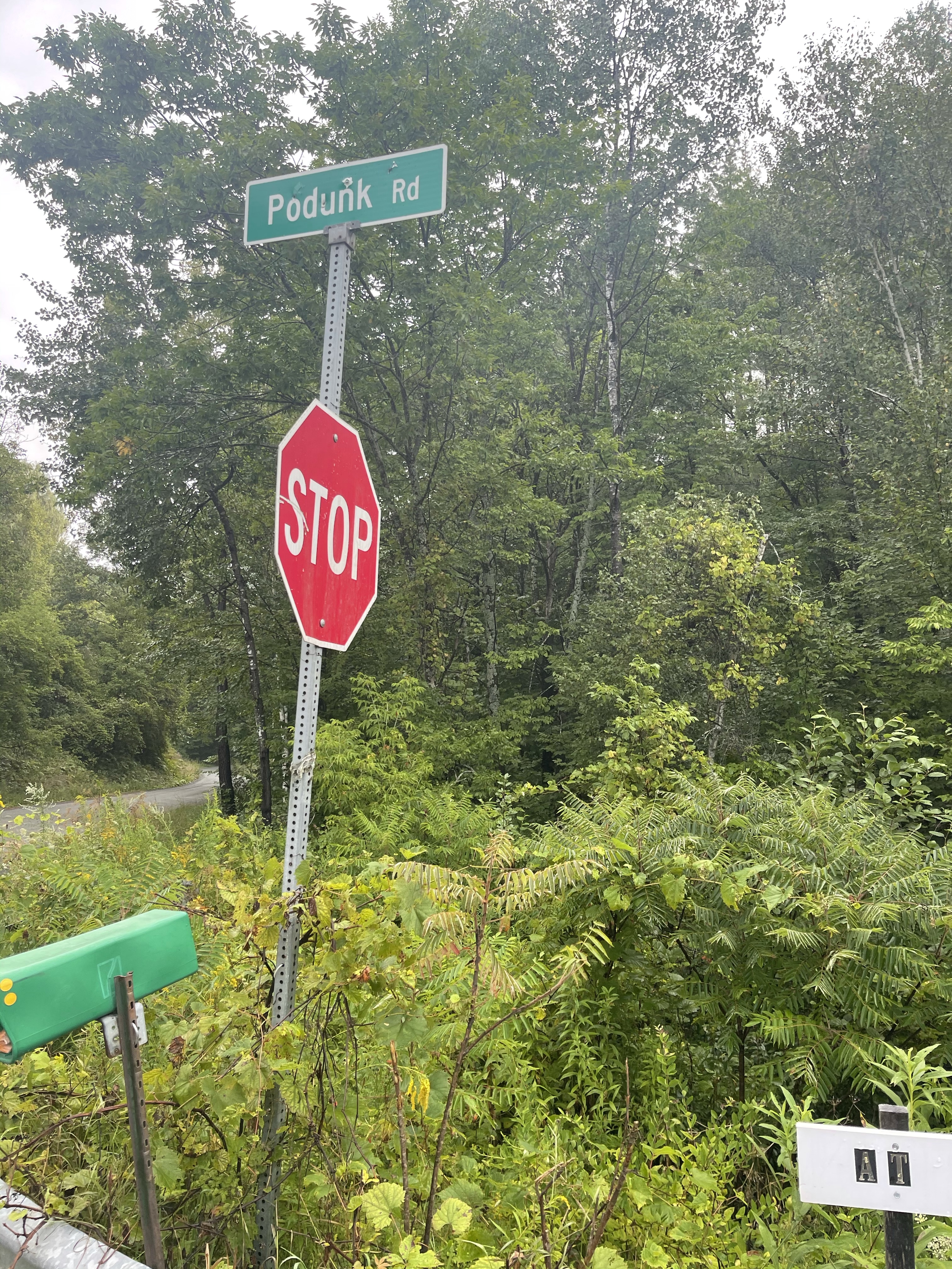
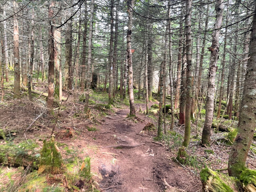
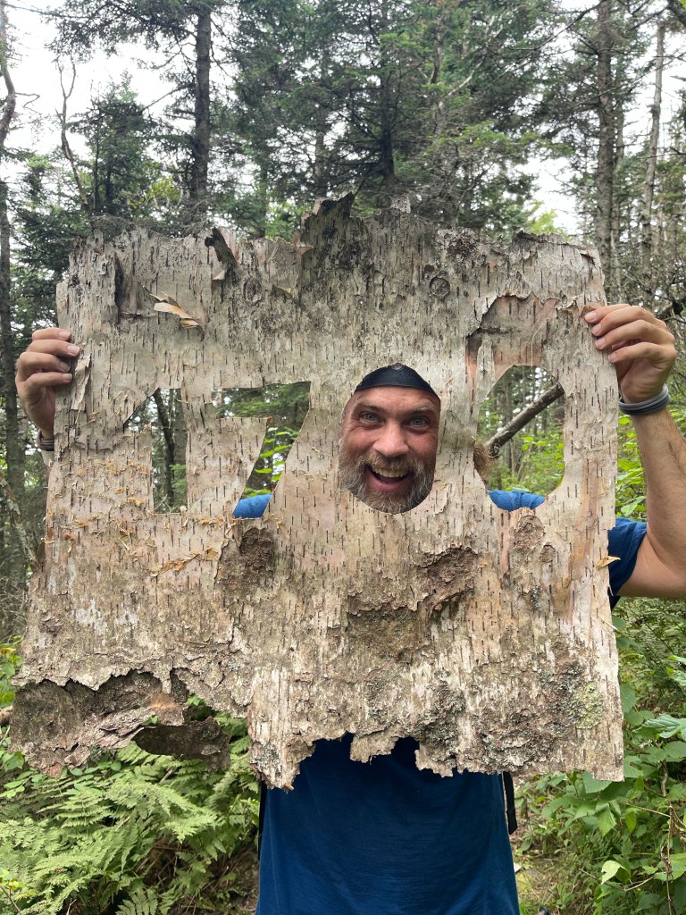
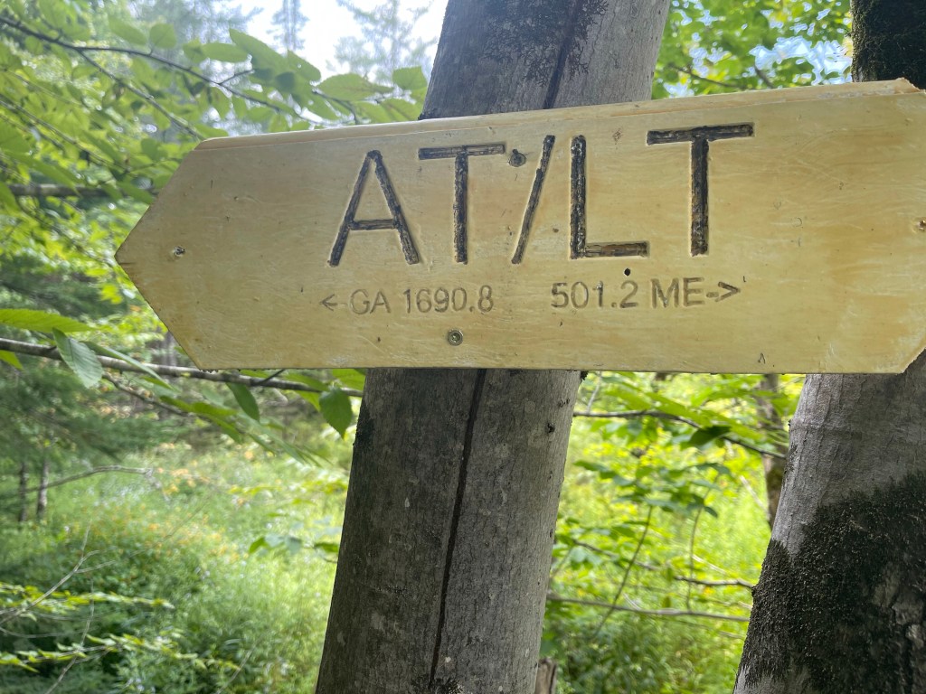
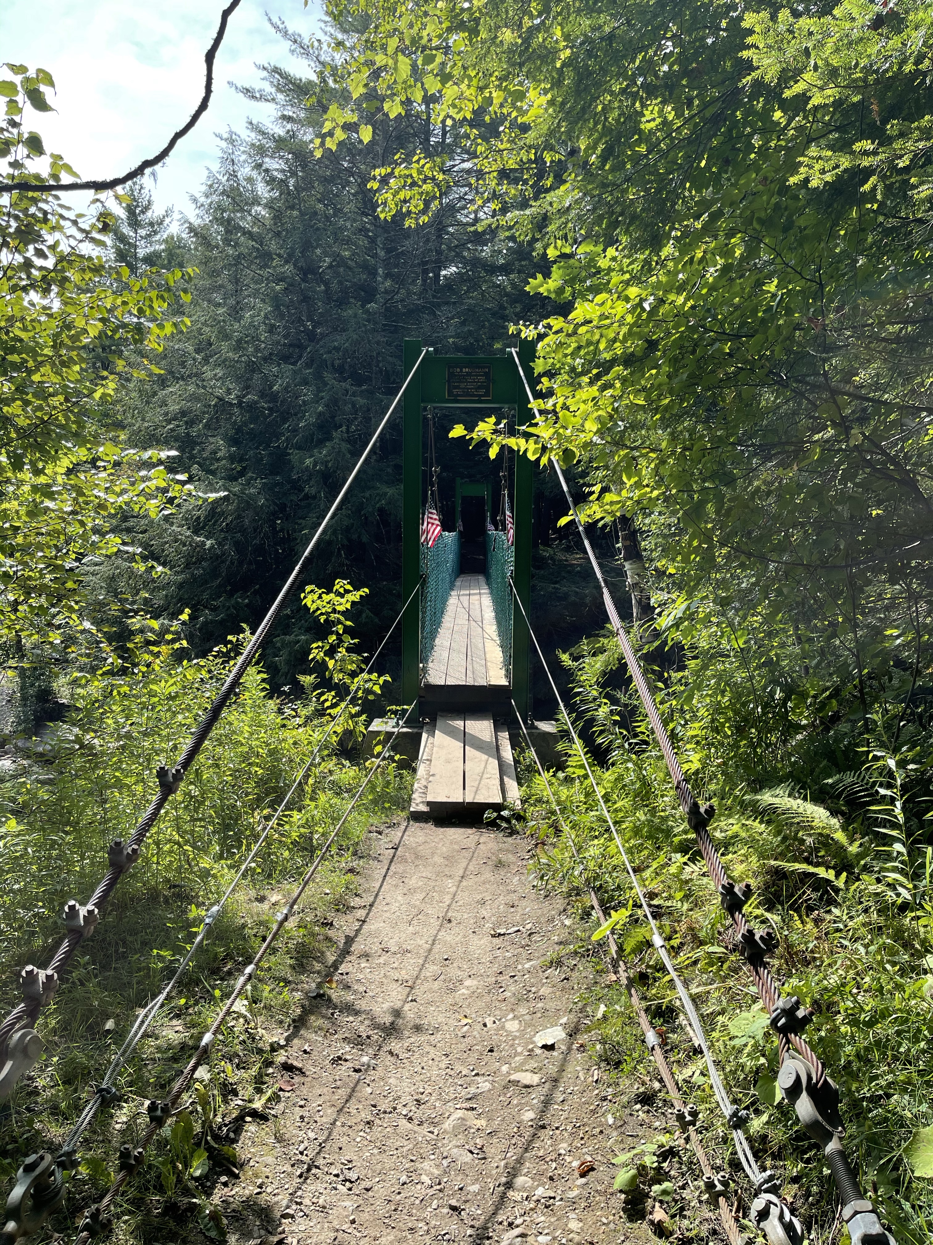
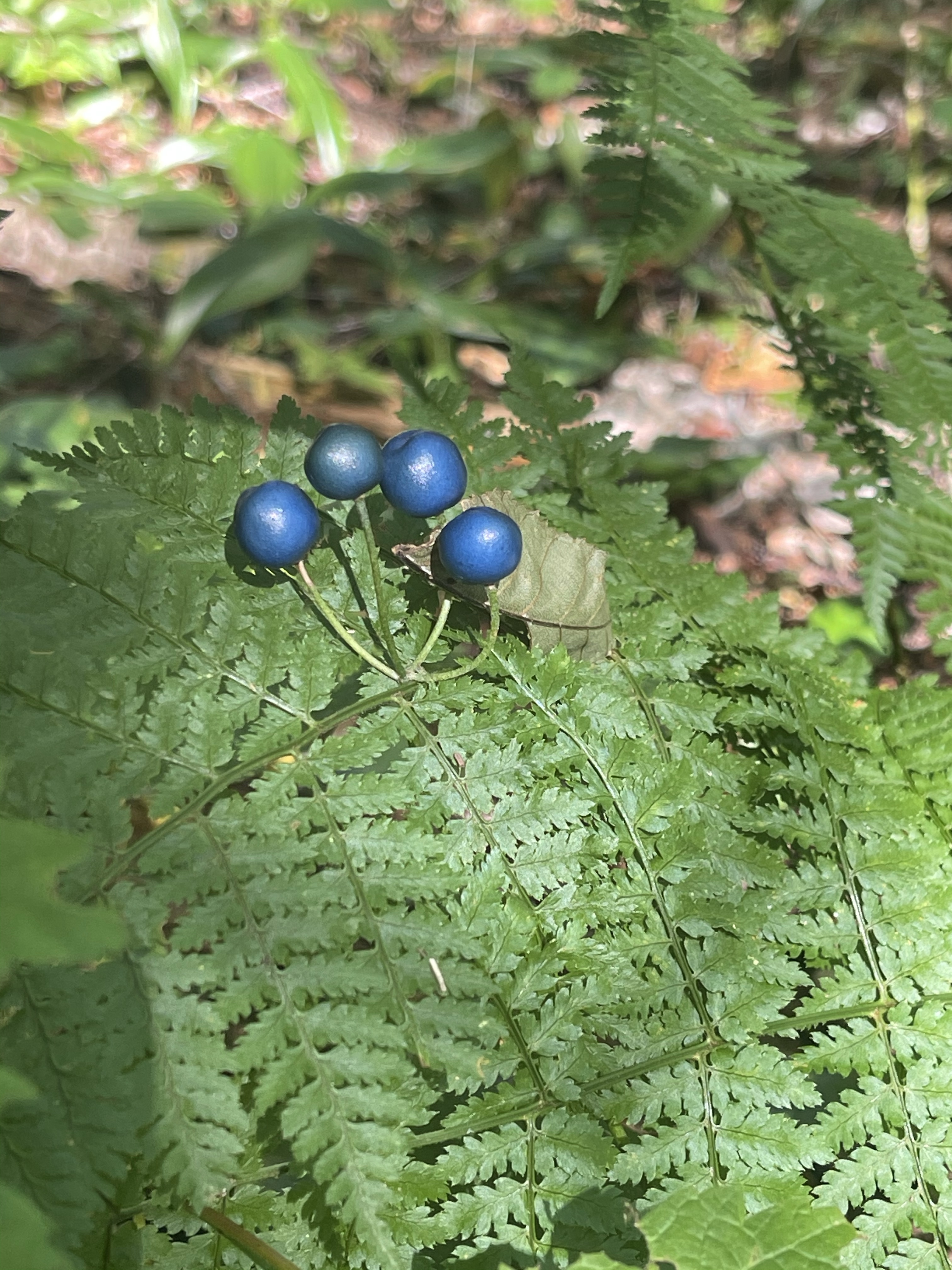
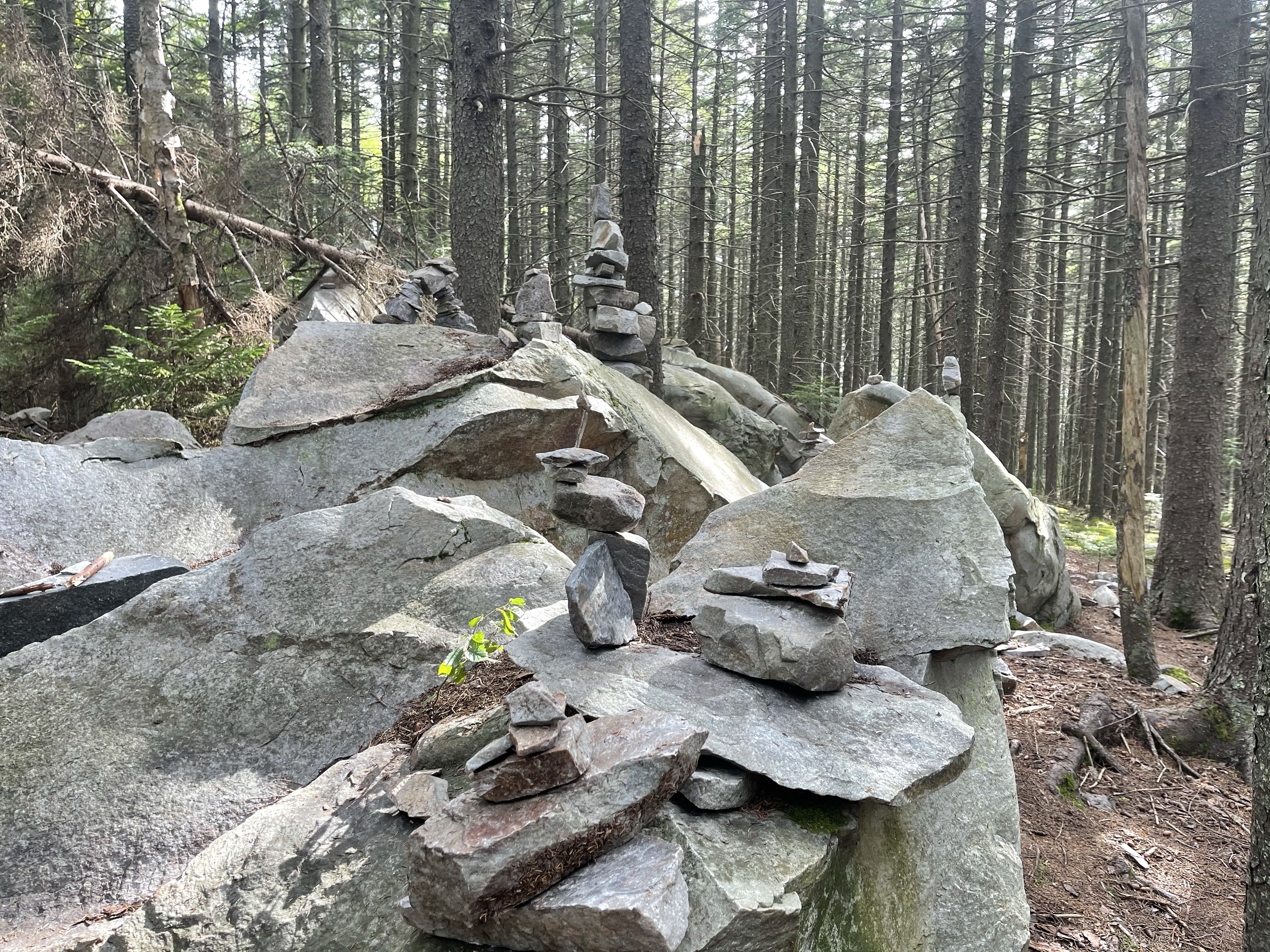
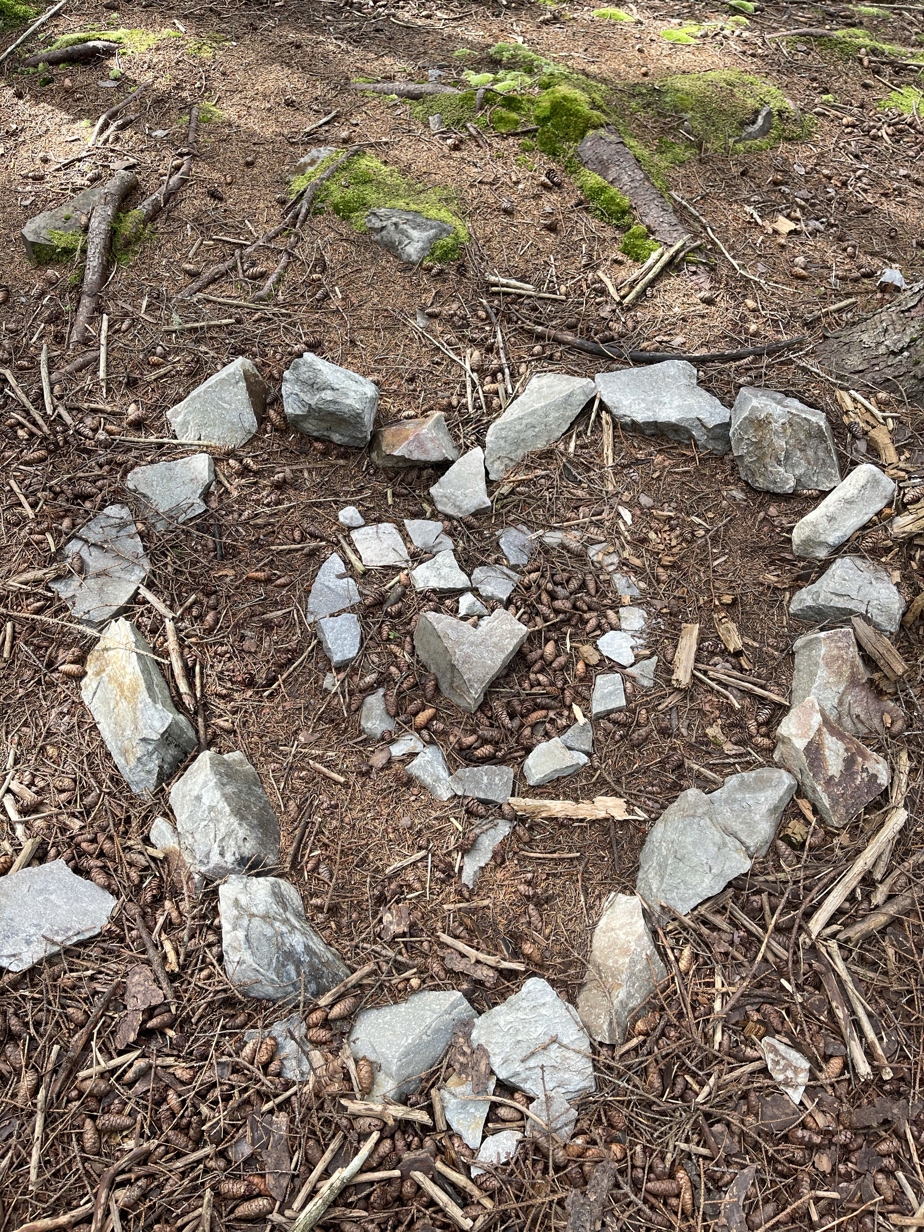
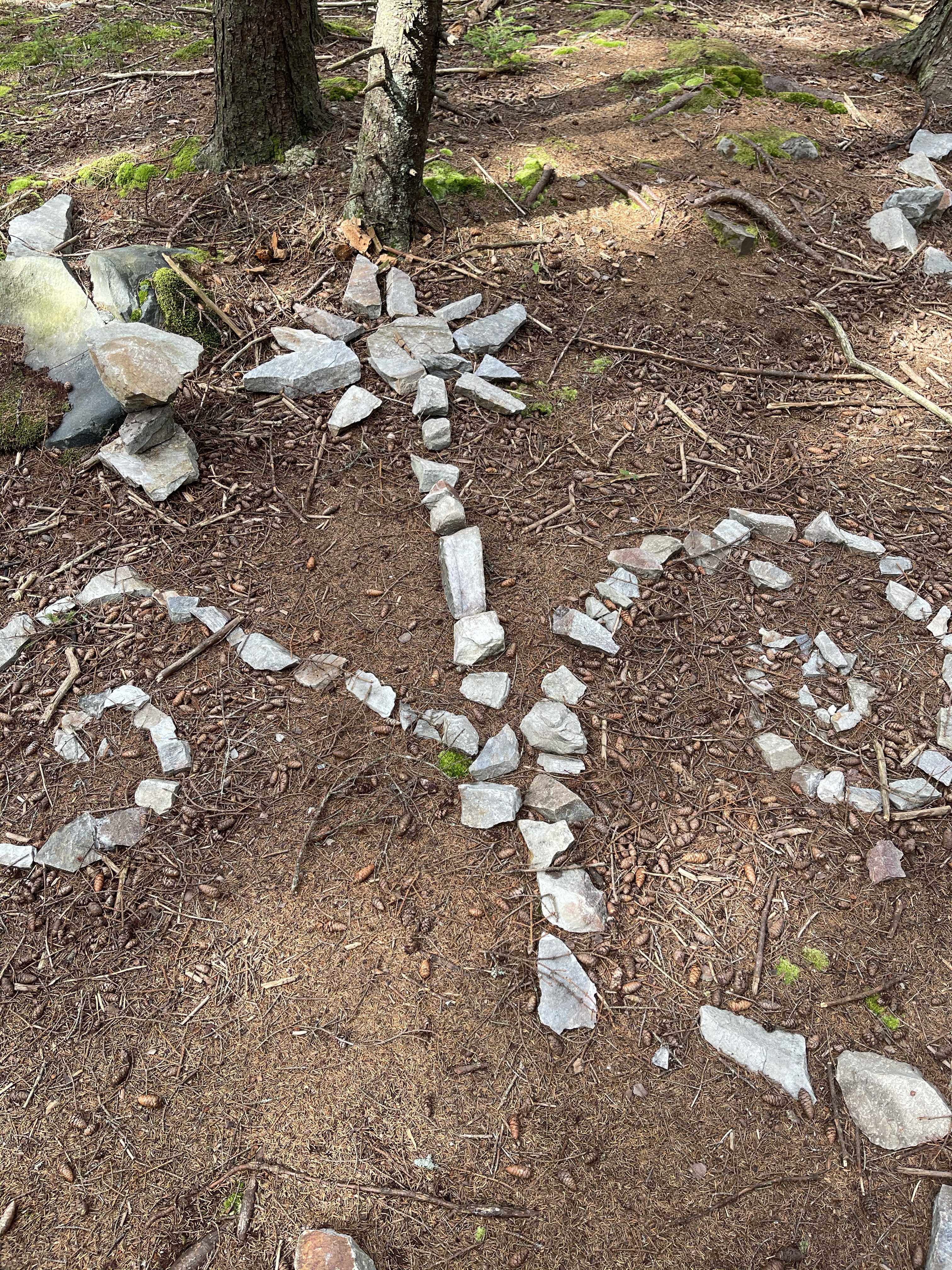
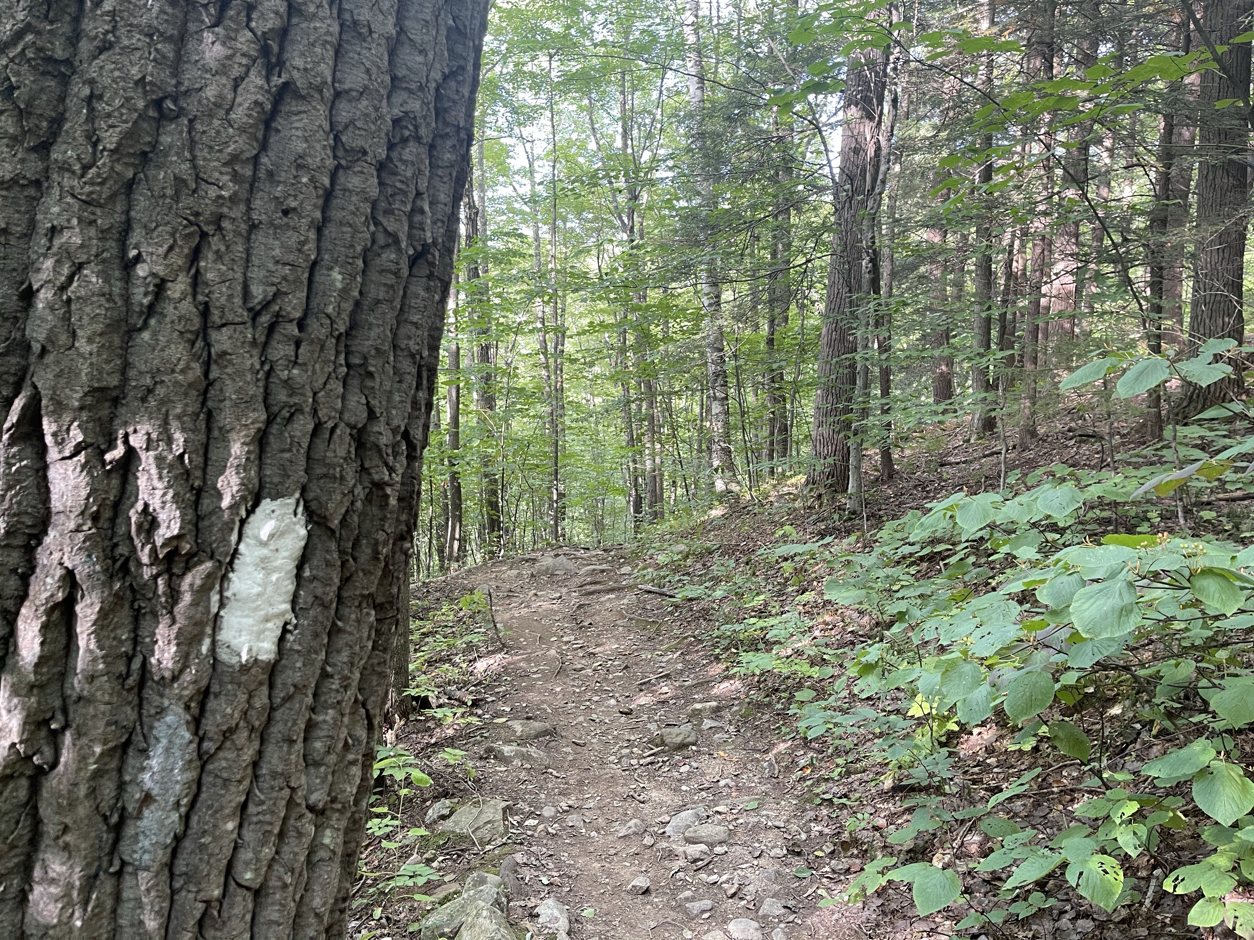
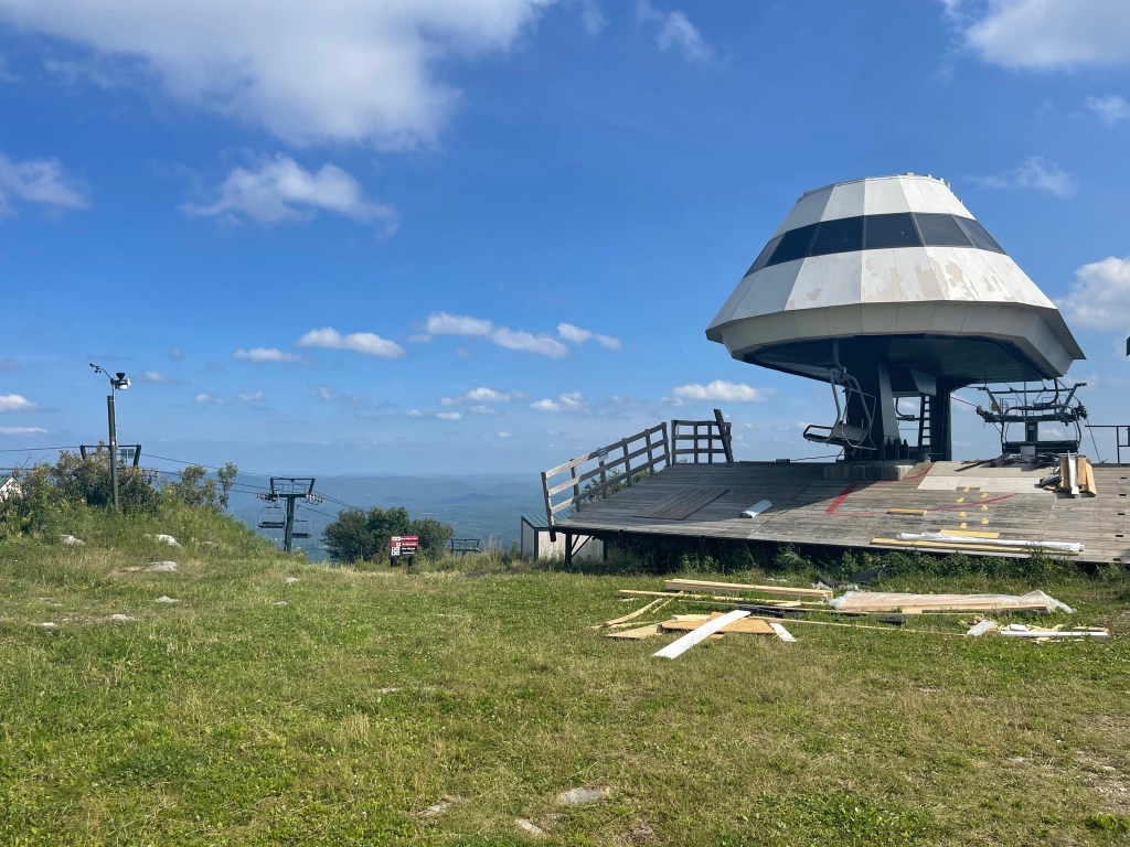
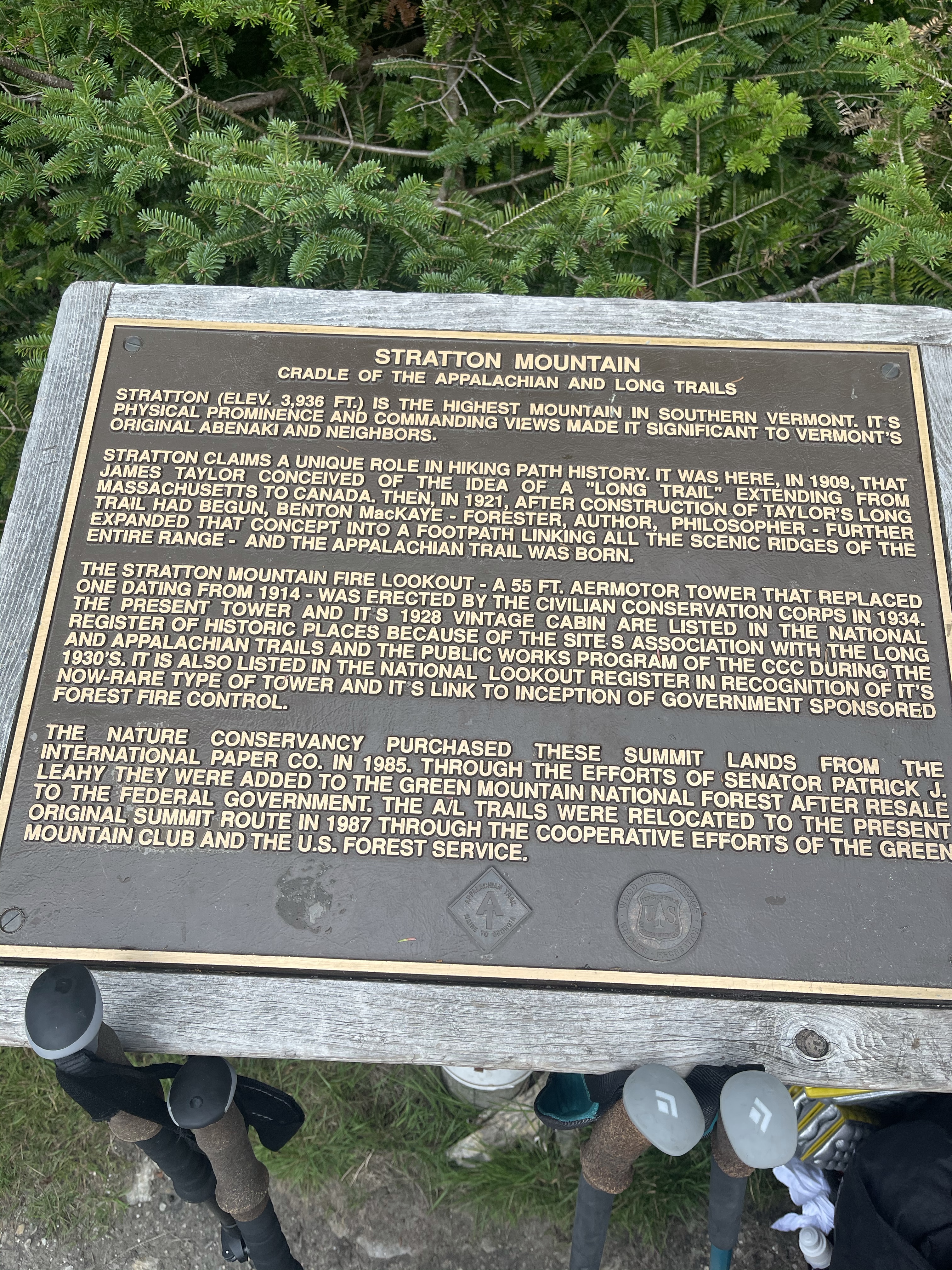
Today was, for the most part, really uneventful. But, I did see some really cool and fun signs.

AT Thru-Hike Day 121

The Blue Barn “Hostel” (407 feet) mile 1741.1 to Etna Rd. (825 feet) mile 1756.8 for a 15.7 mile day.

On the road walk out of town today we passed a church that is abandoned. Growing up a southern Baptist, I can’t comprehend a church being vacant, especially a church that is listed on the National Historic Registry.

I will say, the town this church is in is called, West Hartford, Vermont, and in 2011 a lot of the village was devastated by Tropical Storm Irene when the White River overflowed its banks and whipped out a lot of the homes and buildings along the River. The home that sat next to the Blue Barn was one of them.

All in all it was a fairly uneventful day except for passing into our 13th state of New Hampshire.

Hanover, New Hampshire is the home of Dartmouth College, a nice little Ivy League college. The trail actually passed right by one of their ball fields. It appears that they wanted to make certain that the hiker trash did not use their fields as a campsite! Haha fair enough I guess, I mean look how pretty that grass is, oh and it’s flat!

AT Thru-Hike Day 120

Winturri Shelter (1,932 feet) mile 1724 to The Blue Barn “Hostel” (407 feet) mile 1741.1 for a 17.1 mile day.

What a day today was!! Wow!! We woke to heavy rain on the shelter, and stayed in there drinking coffee and eating breakfast until it slacked off a little before heading out. We knew going into today that it would be rain all day long just by looking at the weather forecast and radar. The remnants of hurricane Fred brought hours of rain upon us today. It rained on us for about 13 of the 17 miles hiked today! There were a few views that were draped with clouds as the rain would slack off from time to time.

We stopped to take what would end up being the shortest lunch break we ever took since we started on trail. It started out as a nice little humid lunch break but it quickly turned to a lunch break with drizzling rain.

We weren’t going to just sit in the rain and eat, so, we got up and took off. Our goal for the day, the blue barn “hostel”, where dominos delivered and there was a bed. I have hostel in quotes simply because the place was totally free and if there was a bed available you could sleep in it. There were no other services available for the hiker, except coffee in the morning with Linda the owner. On the way down for our final decent before we started a grueling road walk, we passed through several areas where the maple trees were having their sap removed and they were being piped down the mountain somewhere. Just passed this was a beautiful hardwood tree area filled with maple trees. I can only imagine how beautiful this would be in the fall.

AT Thru-Hike Day 119

River Road (1,210 feet) mile 1709.7 Winturri Shelter (1,932 feet) mile 1724 for a 14.3 mile day.

Not much of a day today except climbing, lots of climbing! We started the day climbing 1,327 feet at a grade of 810 feet per mile!! It was a climb that just didn’t stop. But, when it did finally stop, I stopped too so I could drink some water. It’s hard drinking water climbing up a mountain like that. It was one of those days where we got to the top and then it went down a short distance and then it went up again, and then up again! We finally made it to the top top and then, you guessed it, we headed right back down again to a stream. There was enough water on trail today that I was able to drink 4 liters of water throughout the day.

After the water, we turned right back up again. We climbed another 1,990 feet in 5.4 miles, so it was a little easier but still a climb at 557 feet per mile.

From here we started down hill and came to a cliff that we had to get down, but, don’t fear, we had a ladder!

We kept on from here and made it to the shelter for the night around 3:50 or so. It made for a long evening, but it wasn’t too bad, other hikers showed up. I had some yummy dehydrated gumbo for dinner tonight! Trail gumbo always makes this better!! Now, it’s time for bed at 8:15! Trail midnight is at 8:30.

Oh, the remnants of a hurricane will be awaiting us in the morning. The weather is calling for rain all day tomorrow. I’m praying we get spared!!

Puppy Love, out!

AT Thru-Hike Day 118

Upper Cold River Road (1,623 feet) mile 1692.0 to River Road (1,210 feet) mile 1709.7 for a 17.7 mile day.

The day started off with a climb again! Before we hit the climb we crossed the 500 miles to Katahdin sign, what a milestone this is, that I still can’t believe.

Today was climbing up and over Killington peak, although we didn’t go to the very top, since it was a side trail, it was still a big climb. 2,434 feet but it was in 5.6 miles so it wasn’t too awful. It was the typical climb for the region, scattered trees of all sorts and then once we hit the higher elevations it turned to all Christmas trees and balsam pines. Oh that smell!! I love it!!

We have been seeing this beautiful little plant up at the higher elevations. It’s called a Blue-bead Lilly, it grows in shaded forests on the eastern U.S. I liked the way the colors contrasted with the green of the fern, so, in the picture you don’t see the typical Lilly leaves but the fern leaves.

Hiking on from here we crested the peak and started back on our way down. Shortly into the climb down we came to yet another milestone, 1,700 miles on trail. It is still hard for me to wrap my head around from time to time that I have walked 1,700 miles at that point! Wow!!

Had some fun with this mile marker which was a piece of birch bark lying on the ground with 1700 cut out of the bark!

We later came to Maine Junction. The significance of Maine Junction is, the Long Trail breaks off from the Appalachian Trail and heads north to Canada. The AT goes east, leaving the Green Mountains of Vermont behind. The Long Trail is the oldest long distance trail in the United States, built between 1910 and 1930 by the Green Mountain Club. The LT totals 273 miles of which we have hiked 105 miles at this intersection. The LT is seen to the left and the AT is seen to the right in this photo.

This intersection is also, even thought there is no sign, the start of the North Country National Scenic Trail. The NCT winds it’s way through 8 states for over 4,600 miles with its western terminus being Lake Sakakawea State Park in central North Dakota.

We made our way to the end of our day passing near Kent Pond.

Ending the day and Thundering Falls.

Now with two and a half days left until we reach the thirteenth state of New Hampshire, we rest up and get ready to climb our way there in the morning.

Puppy Love, out!

AT Thru-Hike Day 117

VT Route 140 (1,102 feet) mile 1680.1 to Upper Cold River Road (1,623 feet) mile 1692.0 for a 11.9 mile day.

Started another day off with a 1,100 foot climb, always a great way to get the blood flowing early in the morning! Who needs coffee when you have climbs like this to get your day started.

I finally had a chipmunk sit still long enough for me to get a picture. It was busy eating on something and didn’t really want to run off with whatever it was eating.

These little guys are all over the place out here. They don’t stay around long. They start their high pitch squill and take off running. Yo the trail from here we crossed Mill River at Clarendon Gorge. It’s a beautiful gorge that you can tell gets some high water volume flowing through it at times. Lining the banks of the curve in the river are piles of trees that have been washed down during high water.

We crossed the gorge and then crossed a highway and started up the mountain. Walking through a field of Canada Goldenrods we came to a nice rocky climb.

These sort of climbs will be more and more plentiful as we get into our 13th state of New Hampshire next week!

I’m really looking forward to the mental and physical challenge of New Hampshire and all it has to offer. The biggest difference, climbs like these will be rewarded with amazing views!

The end of this day brought us just 1.1 miles short of the 500 miles to Katahdin mark! Wow!! This thing is almost done! My time out here, on the AT at least, is drawing to and end! The best is yet to come.!

I really hope that you all have enjoyed this journey as much as I have!!

Puppy Love, out!

AT Thru-Hike Day 116

Mad Tom Notch Road (2,445 feet) mile 1659.5 to VT Route 140 (1,102 feet) male 1680.1 for a 20.6 mile day.

We started the morning with a crisp 52° day and a 935 foot climb, this day did not disappoint.

The day was filled with pine forests and the wonderful smells that accompany them. It’s been a week now since I was back on trail and my legs and feet seem to be getting used to it all again. I am so thankful for that! We hiked up Styles Peak and continued across a high ridge and then down into the Peru Wilderness. The wilderness takes its name from the highest peak in the area, Peru Peak at a little over 3,000 feet in elevation, and it contains over 7,800 acres of forest.

Crossing over the Lake Brook we made our way to Griffith Lake, a beautiful mountain lake where we saw families enjoying a day out in the beautiful weather around the lake.

Hiking on we came to Baker Peak, a rocky open ledge with some wonderful views. We always know when these types of rocky climbs are coming up because we see the signs that say, “bad weather trail”. These bad weather trails provide safe passage around the rocks that become slick in the rain.

Further north waiting on our arrival was Little Rock Pond. I am assuming this pond fits it’s name from a large rock out cropping on the other side which begged for jumpers to enjoy the lake with a splash. We saw some other NOBO hikers here enjoying a lunch break, while I took some time to enjoy the privy and Birdie had cell service to make her Sunday call to her dad and touch base with James who was picking us up once we reached the 20 mile goal. Making our way around the lake for about a half mile we enjoyed some beautiful views of yet another mountain pond.

Swimming off in the distance we had our first sighting of a Common Loon, a beautiful black headed white and black speckled bodied bird with a wonderful song in its lungs. Today we were not fortunate enough to hear this song but the day before we heard the song of the Loon off in the distance. (Google Loon call to hear and see the bird) As we came to the end of the pond the Loon had gotten closer but still not close enough for a good photo, it must have been feeling camera shy today.

Looking at what was coming up ahead for the day in my Guthook app, I saw what was labeled as “Rock Garden”. We hiked on waiting to see what this was going to be about and we finally made it to the garden. It was a rocky area that looked like a fairy garden, something that would be in the Disney movie Trolls.

I’ll put more photos in a gallery at the end of the blog.

Towards the very end of the hike was a nice flowing river with lots of small waterfalls. Waterfalls are such a pleasant and soothing sound, the perfect sound maker! Bully Brook flows north out of a small pond to the south and into Roaring Brook which is near where James will be picking us up. There are several 10-20 foot drops on the Brook that I just couldn’t safely get down to get photos of, but the photos I got were great nonetheless, I think. ☺️

Bully Brook

AT Thru-Hike Day 115

Stratton Pond Shelter (2,658 feet) mile 1643.3 to Mad Tom Notch Road (2,445 feet) mile 1659.5 for a 16.2 mile day.

We eagerly awaited leaving the shelter today. One tenth of a mile from where the AT intersects the blue blaze leading to the shelter is the name sake of the shelter, the Stratton Pond.

Such a beautiful site this pond was to see. The smooth clear water with the mountains in the background and the sound of a common loon in the distance. The glories of hiking the back country and seeing Gods grand creation. Hiking on and looking at the map we saw a lot of flat land in front of us with some small climbs here and there before we hit the bigger climb of the day up to Bromley Mountain and the Bromley ski slopes. Figuring out why there was so much flat land we came to a gravel forest road that we would walk on for a mile or two. Just as it’s time to leave the road and head back up into the forest and up the mountain, Birdie saw a sign that said, “look up”. Above the sign, high up the tree it told of the Prospect Rock view.

This view overlooked the town of Manchester Center, and Mount Equinox. Continuing on our hike we crossed over and through the normal terrain for these days. Approaching the final climb up to Bromley mountains peak the smell of pines grew great again. Looking down the trail through the pines was bright beams of sunlight, a clearing was ahead. Walking out into the clearing it was obvious, we were on a ski run. Don’t let a clearing fool you, na na, it went up up and up some more!

We got to the top and enjoyed a nice breeze with a ski patrol warming but that had places for us to sit and rest our tired legs before the 2.5 mile descent. The site here was not the hit as much as the chair lift, it was a scene out of a Star Wars movie. Haha

After lounging for ten minutes or so we started the descent through a not so groomed trail. Forget using poles in this section, it was thick and hung in the trail, but we slowly made it safely through without tripping on any roots or rocks along the way. We made it down to Mad Tom Notch Road where we waited for James, Birdies husband, to pick us up and bring us into town for a zero day tomorrow in Rutland, Vt.

Got me a room at the Days Inn because everything else was full. I have had this problem in many towns, no rooms. Now I know why!!! They told me they are selling only half of their rooms because they don’t have the cleaning staff to clean all the rooms because no one wants to work since they can get COVID unemployment money. Ugh!!!

Anywho, Puppy Love, out!

AT Thru-Hike Day 114

Kid Gore Shelter (2,782 feet) mile 1628.3 to Stratton Pond Shelter (2,658 feet) mile 1643.3 for a 15.1 mile day.

We woke this morning to clear sky’s and a great outlook on the day. Heading for another climb and another peak with an observation tower. Rain was in the forecast for the evening so now we hike on and see how the weather pans out. This will be the third day with rain in the forecast. The last two have proven to be fairly dry days with a lite rain, so lite that it barely made it through the tree canopy onto us!

So far, today has been a sort of leisurely stroll through an evergreen forest with the smells of pine reminiscent of the green trees hanging from the rear view mirror.

We came across another beaver bog with, you guessed it, not a sighting of the creator of said beaver pond.

Our hopes still remain high of seeing one of these crafty wood engineers, and creators of new woodland ecosystems.

After this, we started our climb up Stratton mountain. It was a steady 1,800 foot climb that works the body, in a good way. Muddy holes, rocks and roots still drape the landscape of the trail and will for the remainder of Vermont and probably much of New Hampshire and the rest of the trail. We shall see! I’ll keep you posted.

Lunch today was a little longer than normal since it was a shorter day and we were hungry! This lunch view was provided by a cool mountain stream with sounds that would keep Rip Van Winkle asleep!

After lunch we left the stream and started the climb up Stratton.

Along the way I spotted a new plant that I had not seen before. It is called a painted trillium.

It is a perennial herb that flowers in the summer time. I hope to see one flower soon that I can show you.

Once we reached the top of Stratton peak, we were greeted by a hut that in none COVID years would have a caretaker there that is a wealth of information, but, we have had no such luck meeting these folks.

The view from up here, amazing!!! 10 ⭐️ out of 10 for sure! But, what I saw behind me was far from ten stars, rain. The rain was approaching fast and we had two options, stay in the metal tower and wait out the rain in and enclosed space or put on our best rain hiking face and press on to the Stratton Pond Shelter. We chose the later of the two and pressed on.

Descending down from the evergreen forest to a mix of evergreens and Burch trees we scrambled along rocks, and have learned a new skill. My boys a few years ago called this game, the floor is lava. Out here, we call it the trail is lava! This is the way we conquer these water filled mud holes. I feel like I’m on American Ninja Warrior, you know if you’ve seen it, it’s where they bounce from sided to side trying not to fall across these angled platforms. This continues down the trail mixed in with sandy soil and roots. Oh, let’s talk about the rain, I’m sure you’re wondering. The rain came, but the thunder and the storm that accompanied it never showed up, but we could hear it rumbling angrily in the distance. The rain that fell was again a rain that was light enough to barely make it through the tree canopy onto us. A little ways into the last few miles my left foot was really hurting and I was really wanting to slow down but the desire to stay as dry as possible was greater than the pain. We made it to the shelter just in time to sit and watch the rain fall for a few minutes before saying goodbye. Now, time to roll my feet with my cork ball and try to get rid of this foot pain. Sitting in the shelter I was saddened because right had no phone service which meant I couldn’t talk to Suzanna. It’s always great to talk with the boys and her in the evenings. I didn’t give up hope though! I put my crocs on, in four wheel drive, if you know that reference, you know! I walked around to the different tent sites that I saw with my phone looking for service and I finally found a spot with a tiny bar of LTE service. I set my tent up cooked my dinner and ate, then set out to lay down and rest, journal and then talk to Suzanna. Ending another great day on trail.

Puppy love, out!

AT Thru-Hike Day 113

A stealth campsite on Harmon Hill (2,327 feet) mile 1612.1 to a campsite at Kid Gore Shelter (2,782 feet) mile 1628.3 for a 16.2 mile day.

After enjoying a cup of coffee, it’s been a while, we set off on our day. Our goal, 16 miles north!

Leaving Harmon Hill we headed north towards highway 9. Heading towards a highway always means the same thing, down hill followed by an up hill to get back up on the mountain. This time, that meant a 1,113 foot descent followed by a 1,447 foot ascent!! All anyone walks about in Pennsylvania is the rocks, though the 7th state on trail is far behind us, we still have rocks to deal with, and honestly, we will for the rest of the trip!

The bottom of the descent, just across the highway was our first water source for the day, and boy was it a gusher! This particular branch is called, City Stream, it flows just a short distance form here into the Roaring Branch Walloomsac Brook.

From here, we continued up, heading north, making our way to the Melville Nauheim Shelter, and just passed the shelter to the peak of this climb, totaling 1,300 feet! It is great to be climbing again!! If I haven’t said so already, and will probably say it again, this is why I hike, climbs like this, they get the blood flowing, the heart pumping and the legs burning. Oh, and, don’t forget the lungs, they get their own workout as well!

Now it’s time to hike on, into the Glastenbury Wilderness which is home to Glastenbury mountain.

I think this will be our first lookout tower we have seen in quite some time now on trail. These towers are always worth the extra effort to get the above tree, 360° views. Glastenbury wilderness is one of eight wilderness areas in Vermont and is the second largest covering almost 22,400 acres! Glastenbury mountain, where the wilderness gets its name, is 3,747 feet in elevation at its peak. The mountain is made up of balsam fir, red spruce, white and yellow birch, beech, and mountain ash. Scattered amongst all of those trees are, ferns, raspberries, blackberries and a new plant we have yet to see, bluebead lilly.

Climbing this tower, we got a feel fro what the above tree line climbs in the white mountains would be like, windy with a chill!

From here we continued down hill a few miles to the Kid Gore Shelter. This shelter had an amazing sunset view, if you were willing to sleep in the shelter, and with the mosquitoes, I wasn’t willing! As far as campsites go, the shelter had very few and I ended up making my own spot in the trees having to dodge trees to get there without a path. But, I found a flat spot and set up and fell asleep after dinner.

Puppy love, out!

View from the observation tower