AT Thru-Hike Day 57

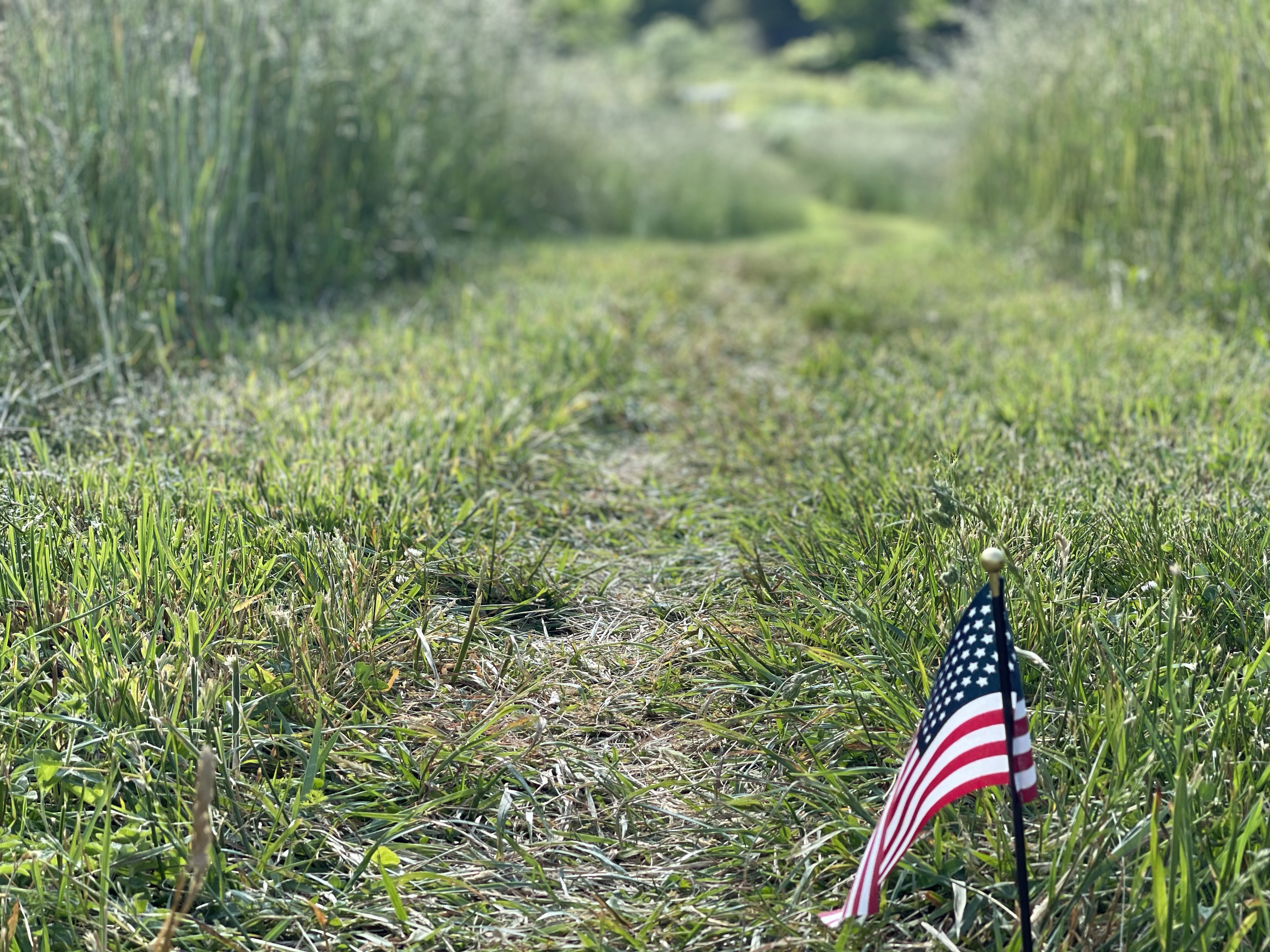
VA Route 621 (1,538 feet) mile 689.3 to VA Route 624 (1,810 feet) mile 704.5 for a 15.2 mile day! We ascended 3,816 feet and descended 3,517 feet!

Today was a great day, we started into the Virginia Triple Crown!

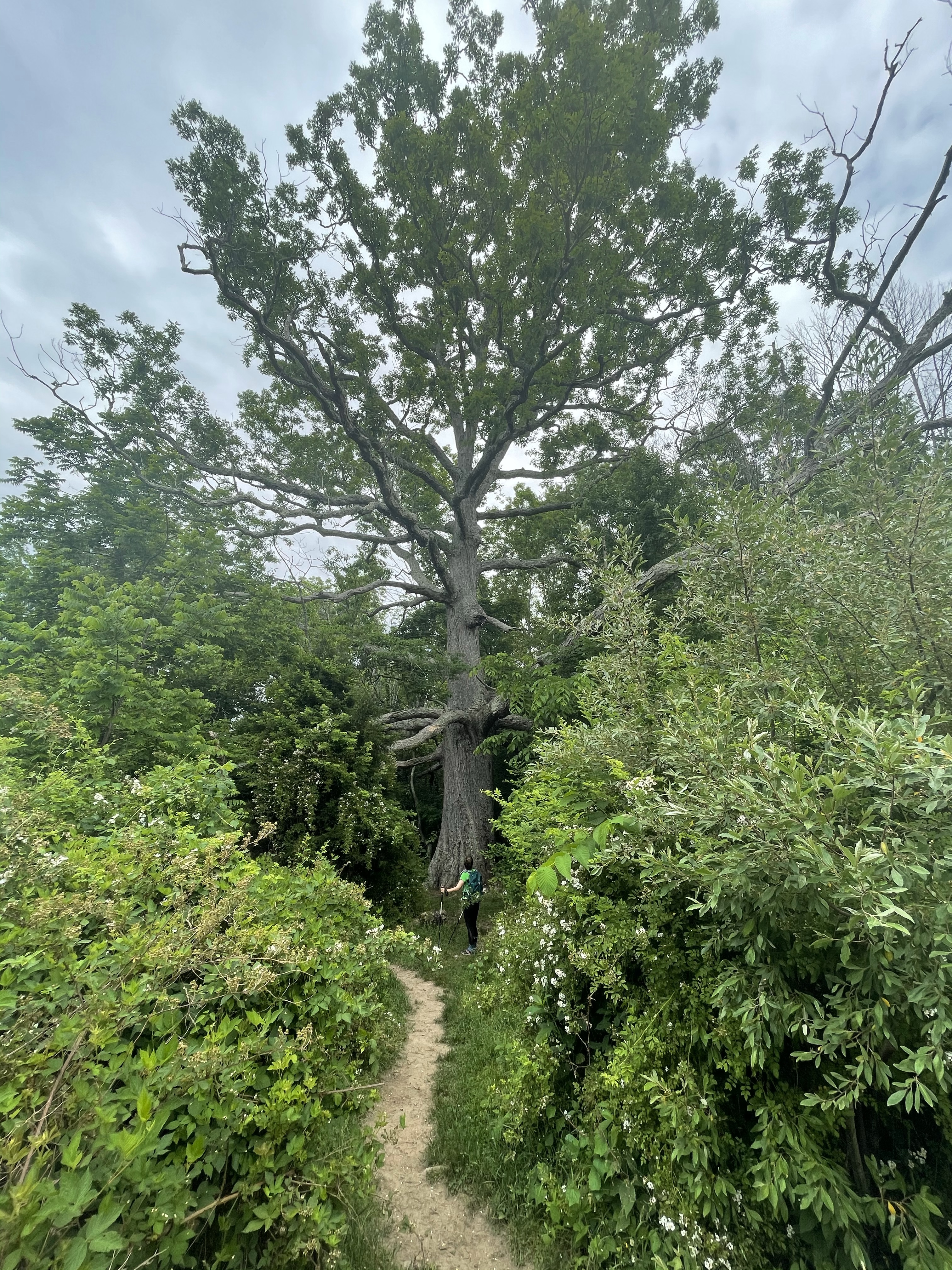
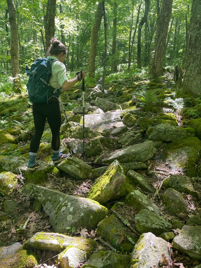
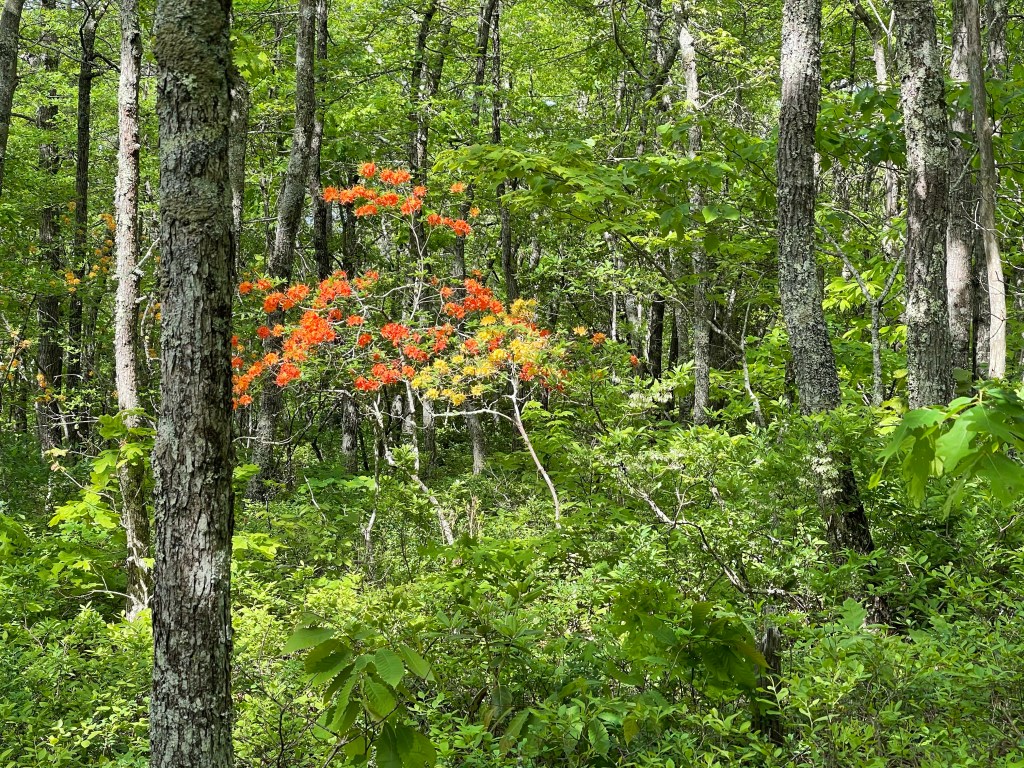
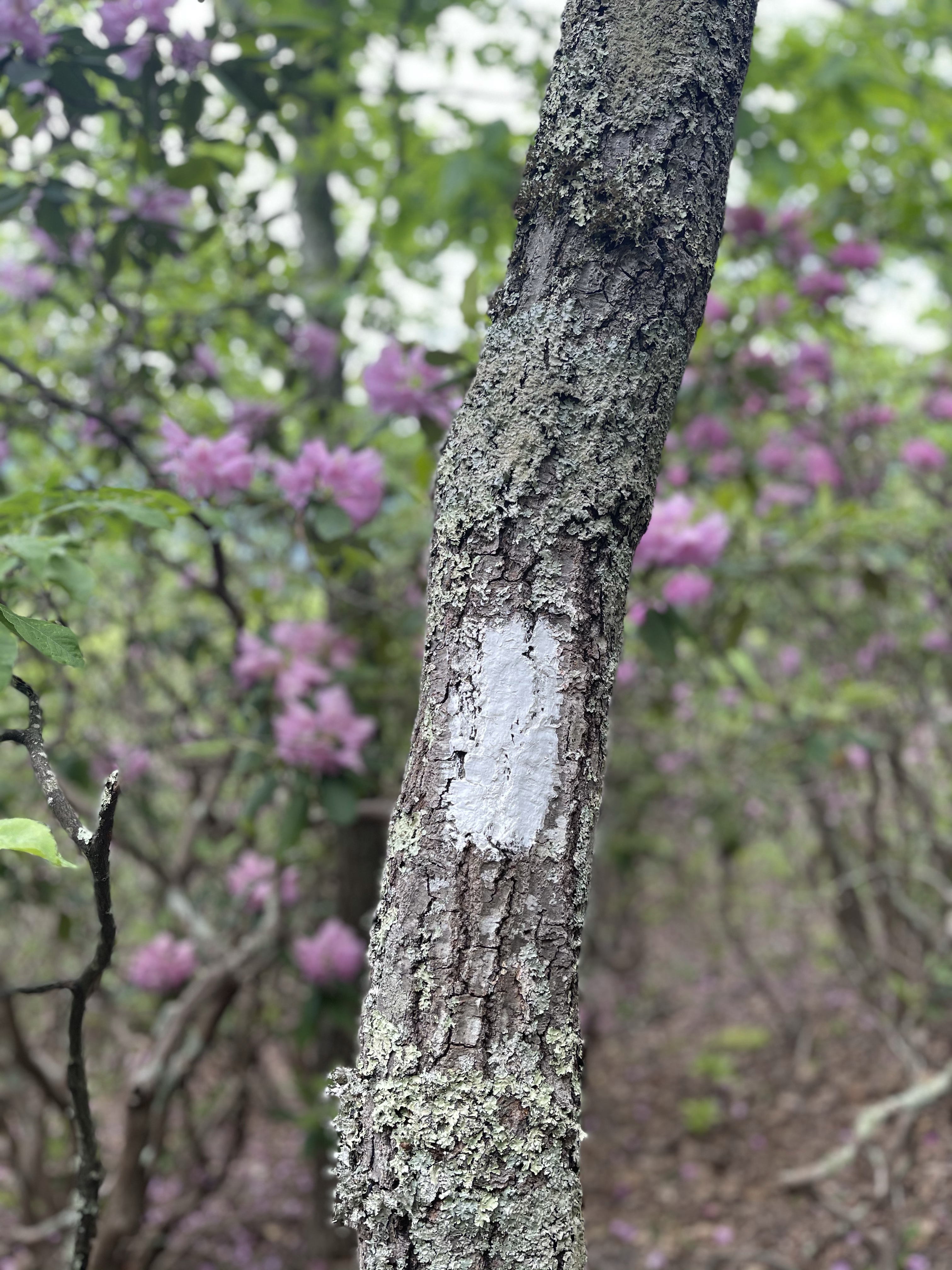
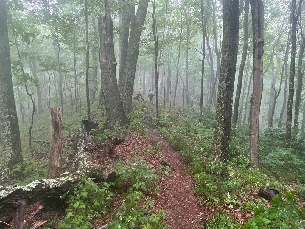
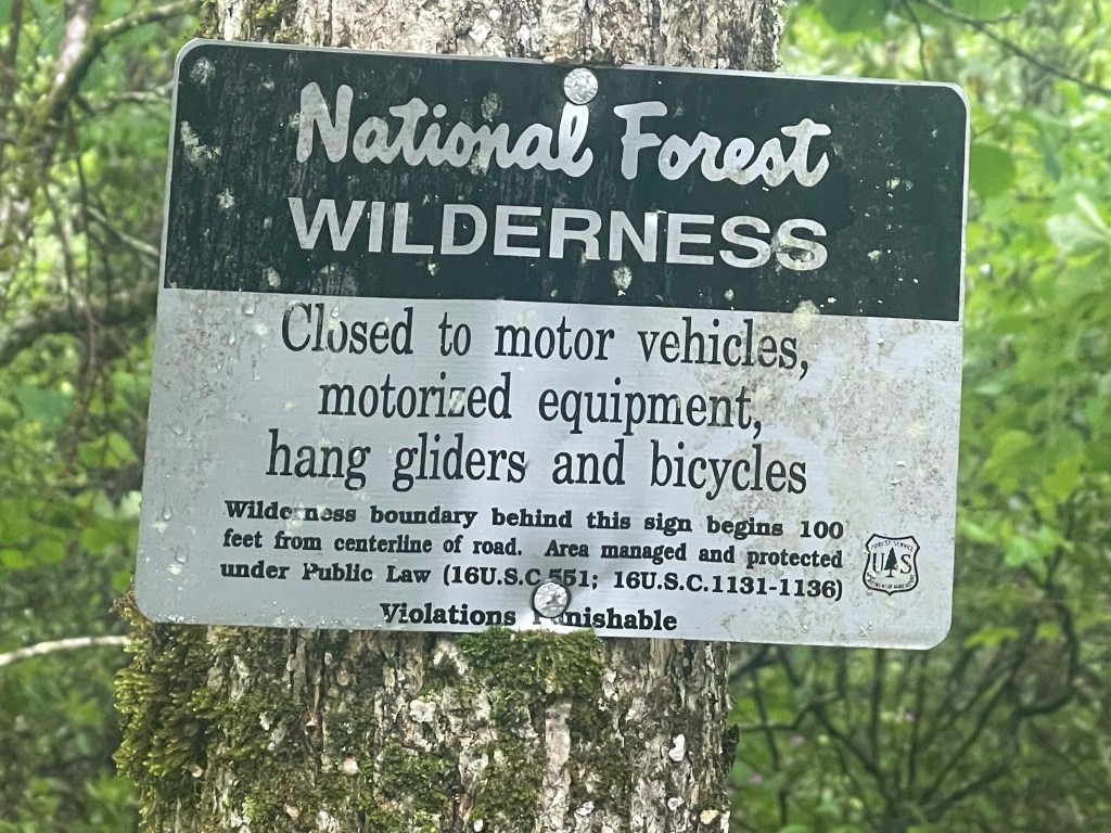
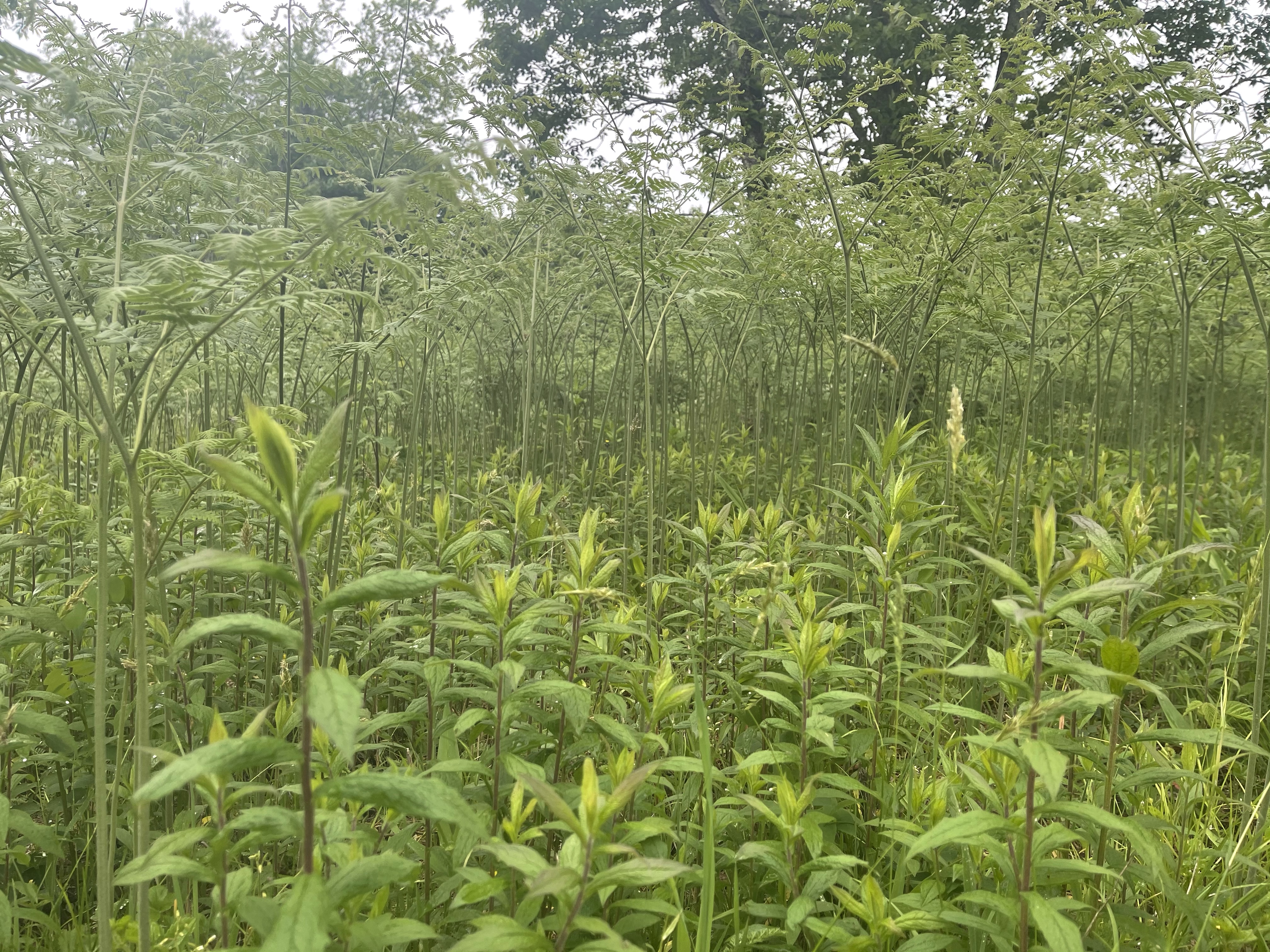
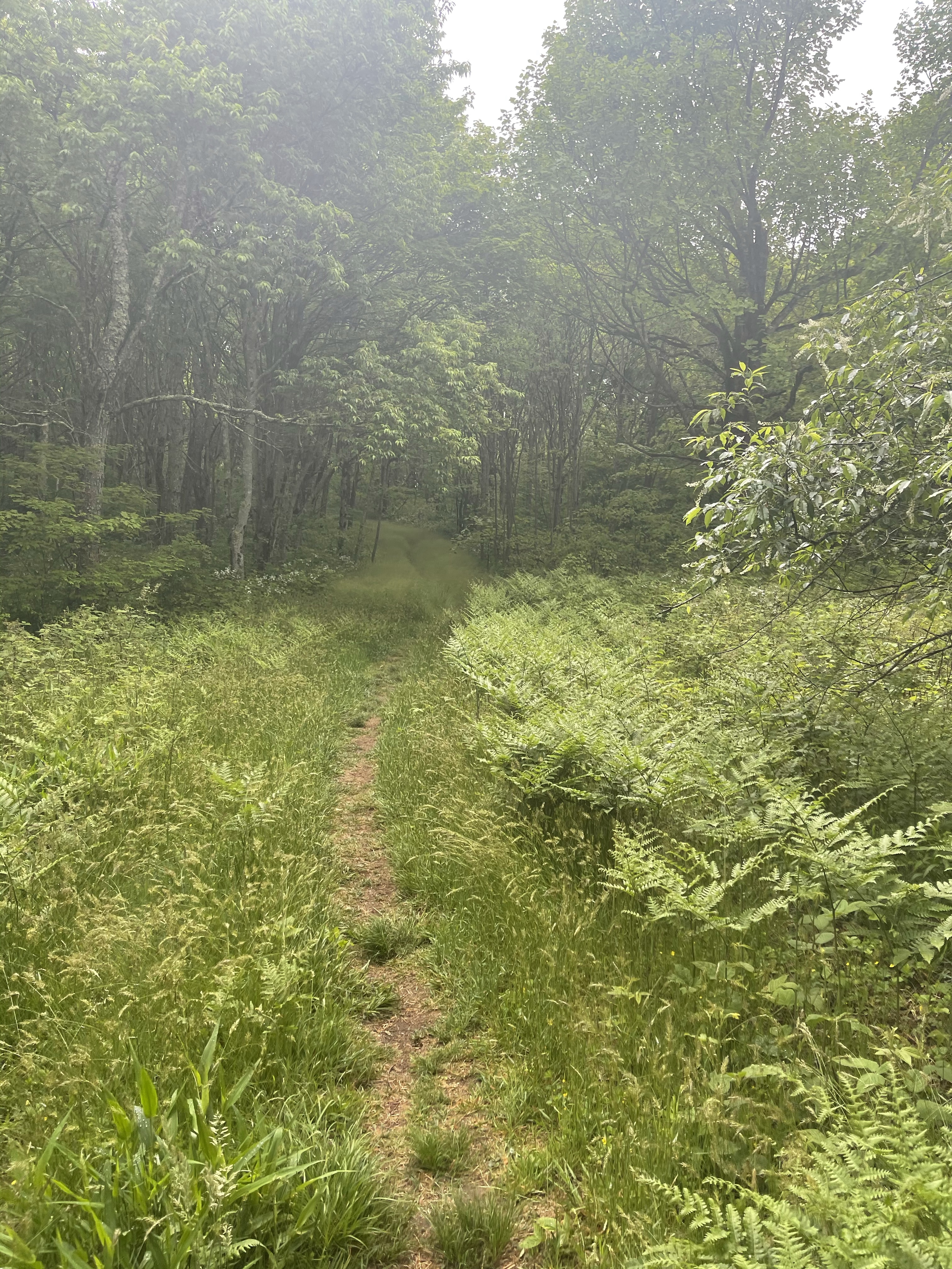
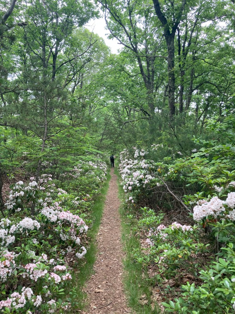
But first, we climbed, of course, a 1,500 foot climb to the start of the Brush Mountain East Wilderness. We were greeted by the wilderness in the most beautiful way, Mountain Laurel!!!

A few tenths of a mile from the sign marking the Wilderness, we came to another sign, this one marking the Audie Murphy Monument.

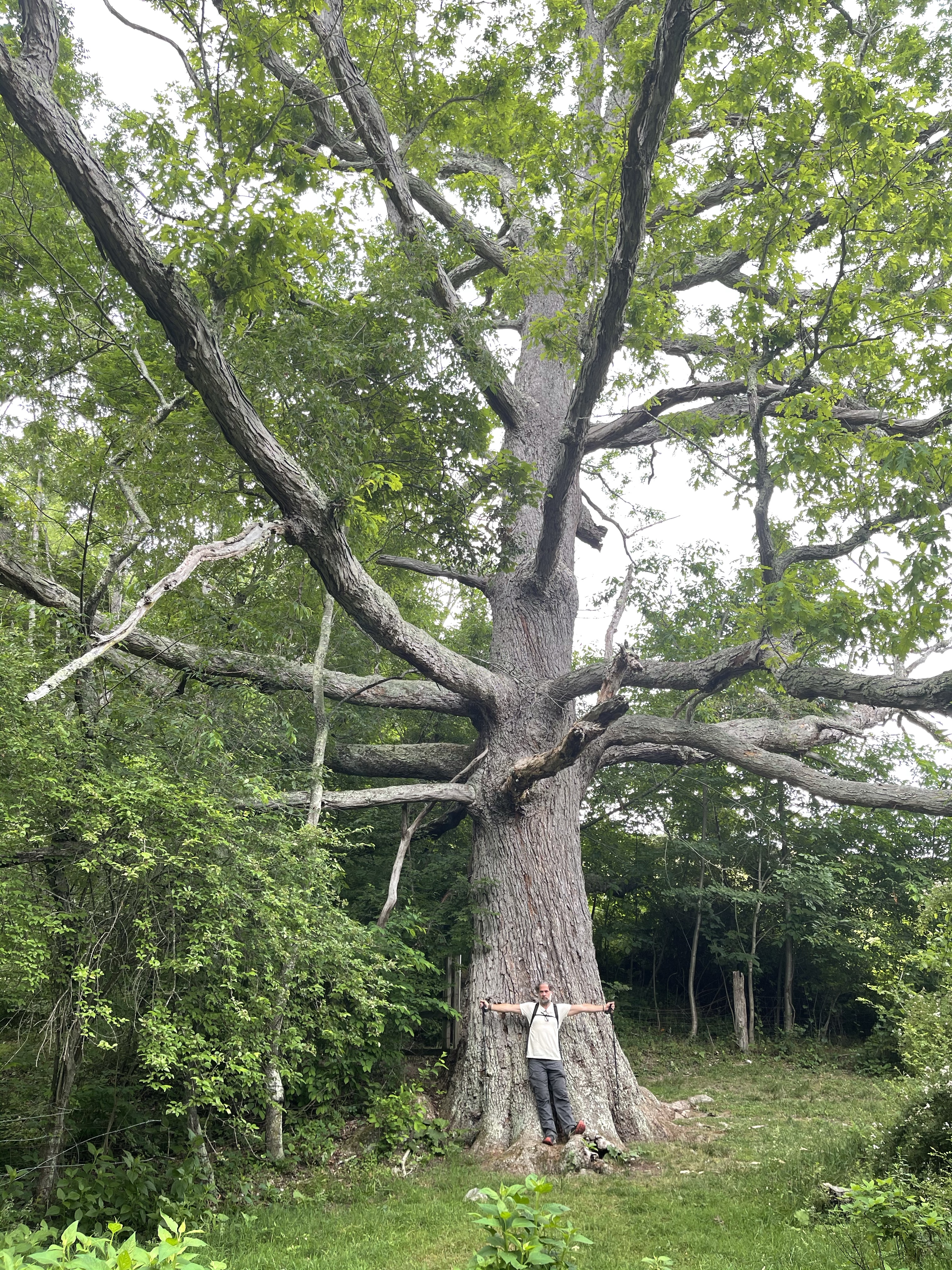
Audie Murphy was America’s most decorated WWII veteran who died In a plane crash not far from this memorial site. He was a military hero, a actor, and worked for the Civil Air Patrol. He died here in 1971 and in 1974 they erected this monument along the AT near the crash site.

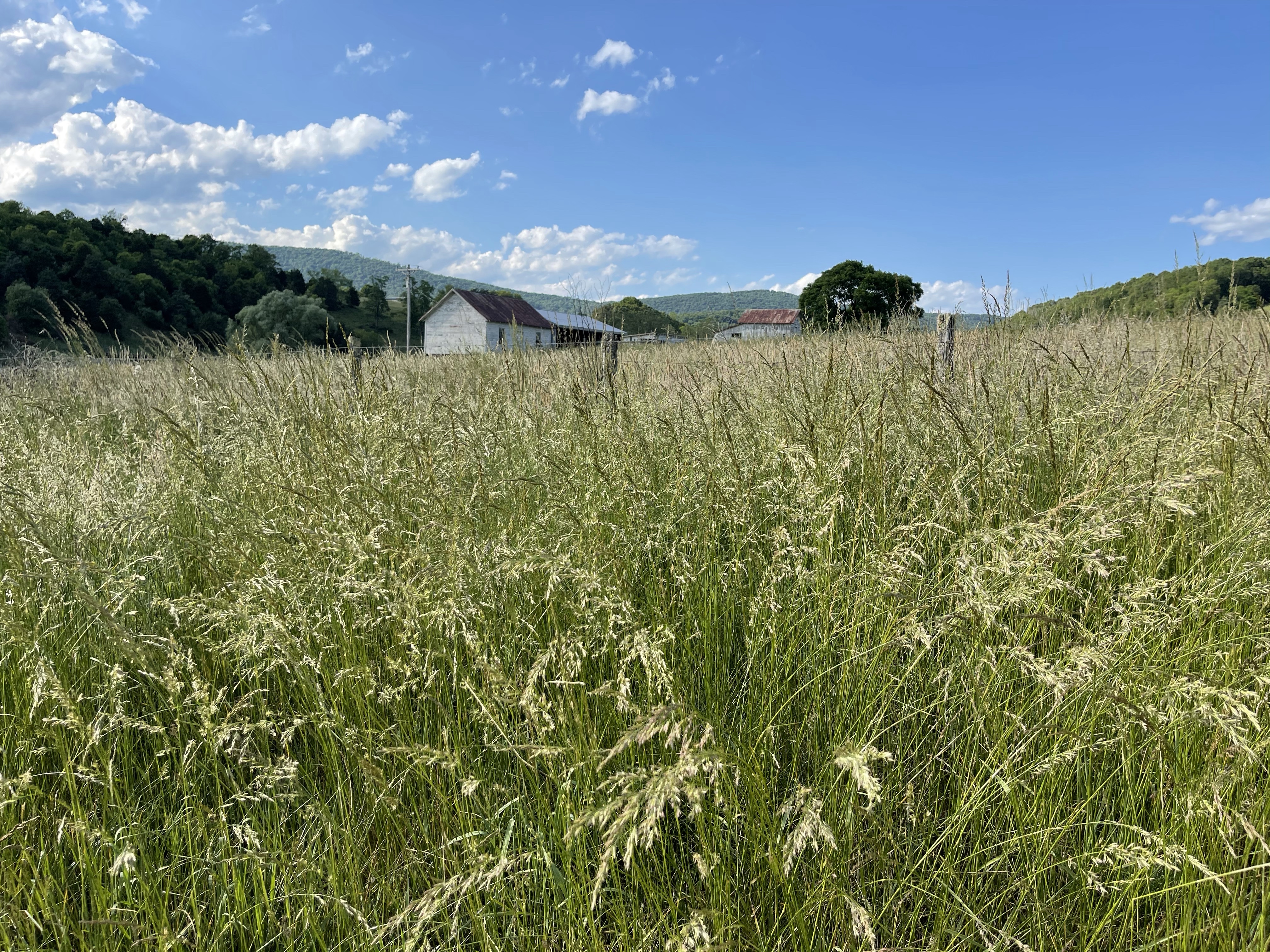
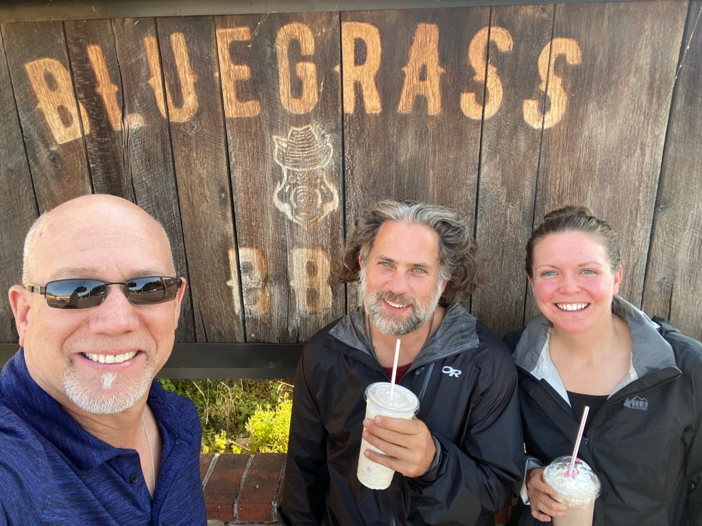
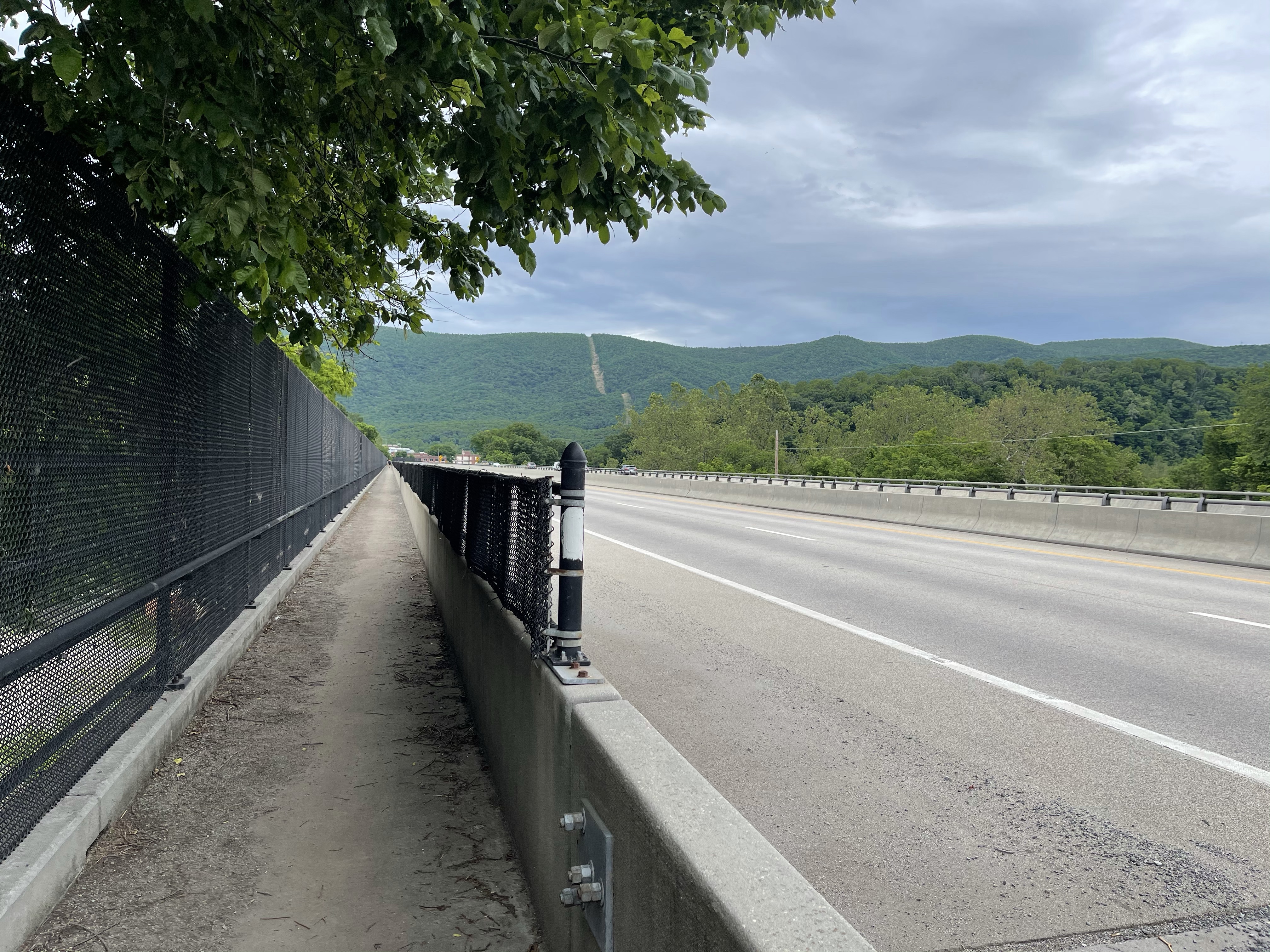
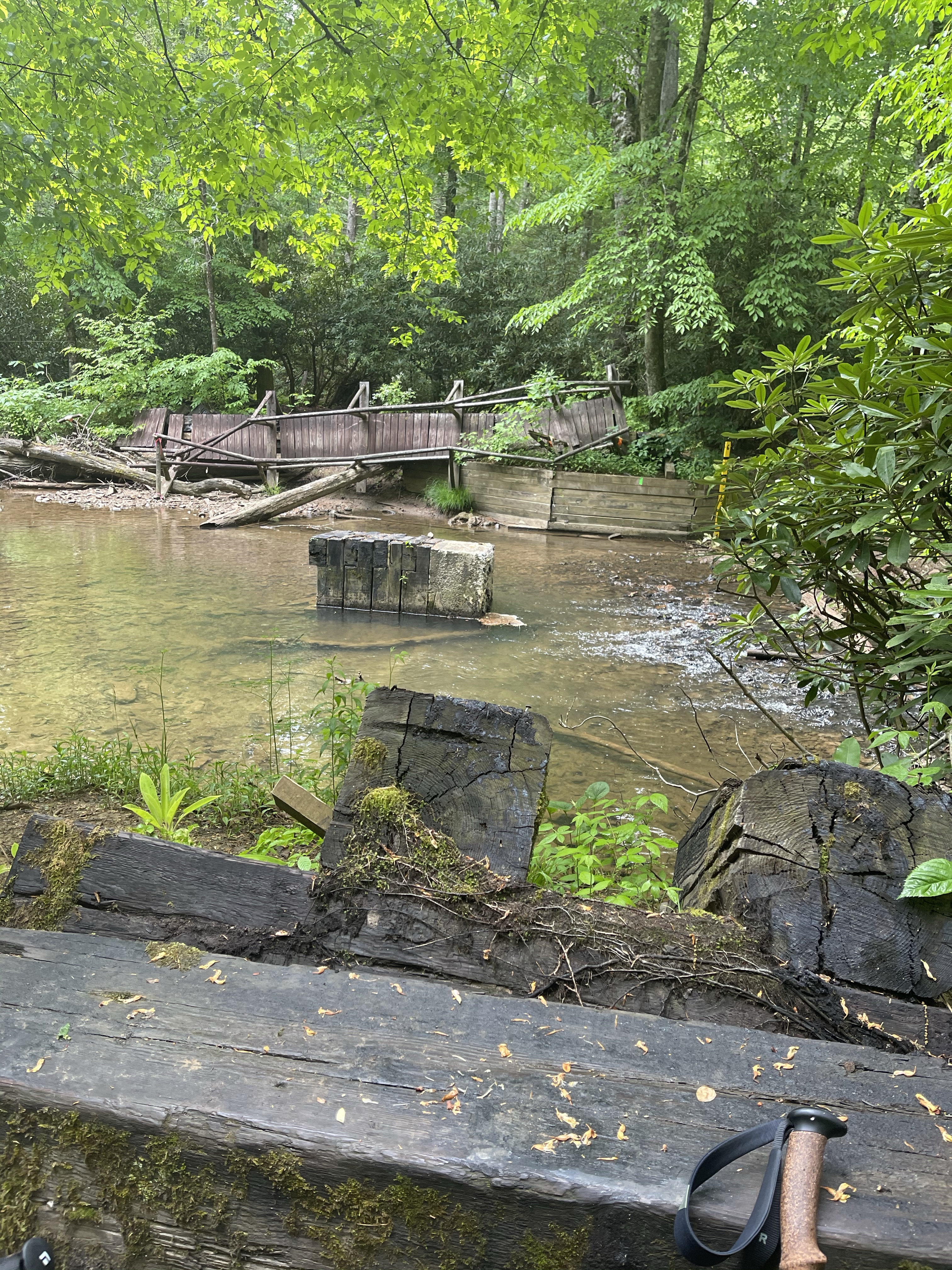
We headed back down hill to Trout Creek, once we arrived there, we sat and had a quick snack and drank some water. We also found a trash can here that was put out by a local man and emptied by him as well! We finished up our snack and headed across the bridge to start a climb up to Dragons Tooth! Just about the time we got going good up hill, I heard a truck coming, so I stopped to check it out, and wouldn’t you now it, it was exactly who I thought it would be, the Salty Express!!! We dropped our packs and went down to sit with them a bit and eat some of their snacks and donuts they had brought.

After loading up on calories, we climbed the mountain and burned them all immediately! This climb was a beast. Virginia has definitely got its share of climbs, all those that said it was flat and easy to get big miles, well, not for this guy!! We did manage to pass the 700 mile mark today! It’s always exciting to hit these milestones. We have gotten to where we can hit the next 100 mile mark every Monday, which we feel is a great accomplishment.

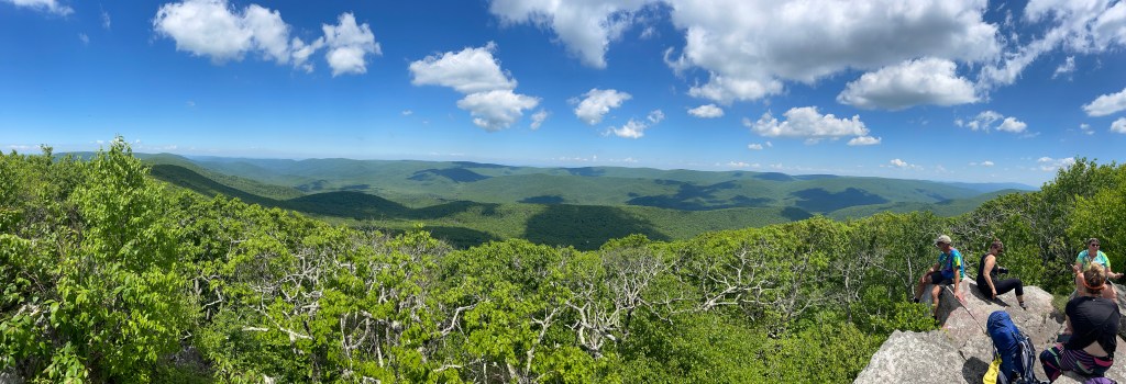
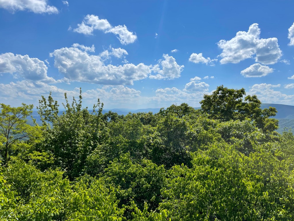
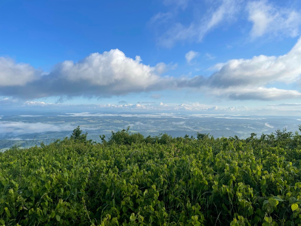
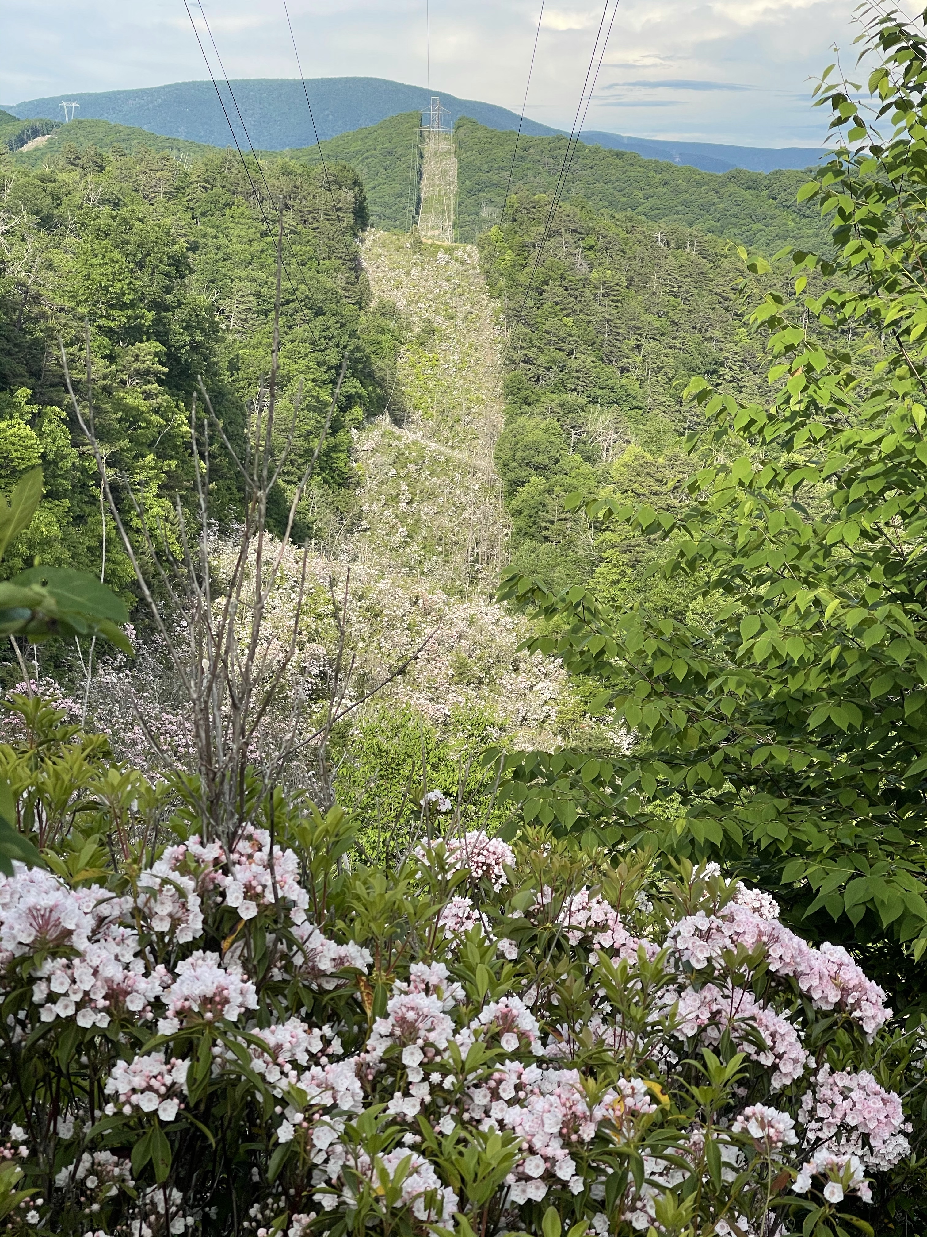
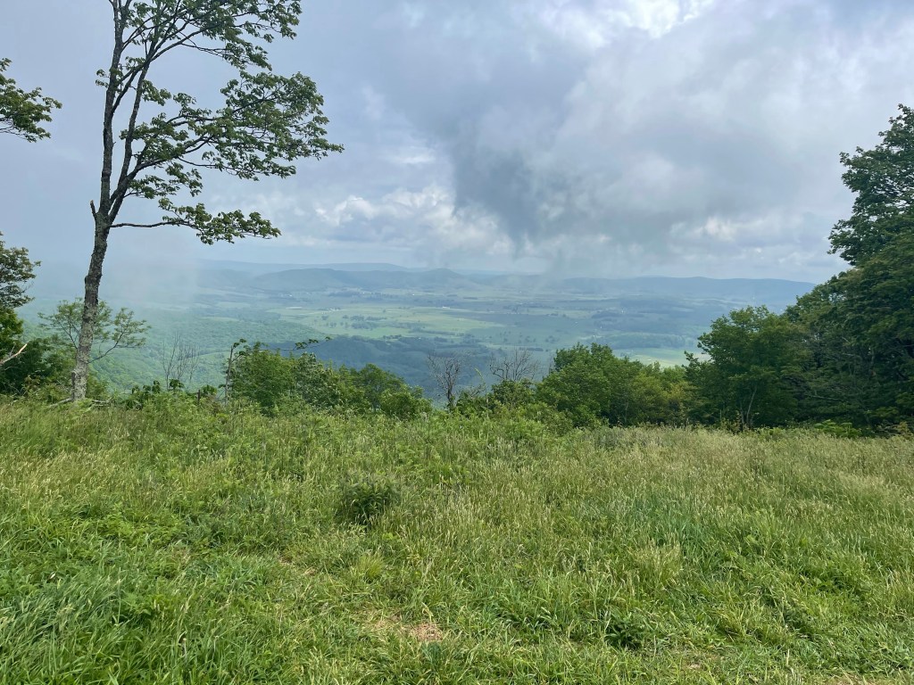
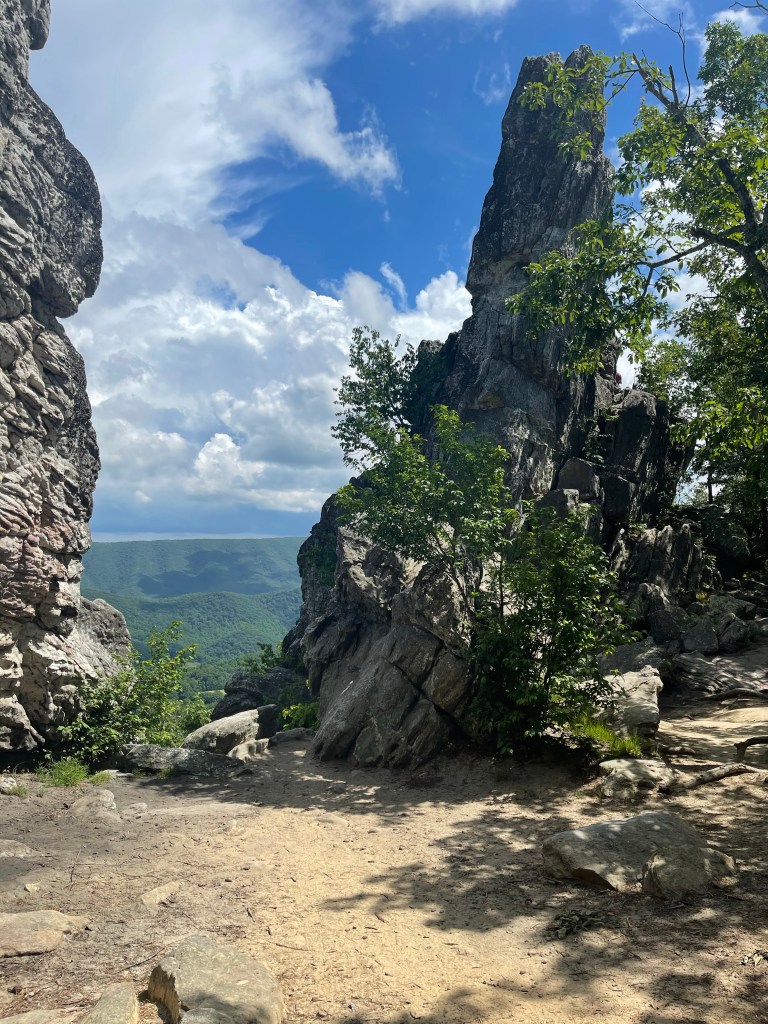
Finally getting to the top, I doubted myself multiple times climbing this, we enjoyed some views down the blue blaze which lead to the Dragons Tooth, the first of Triple Crown Sites.

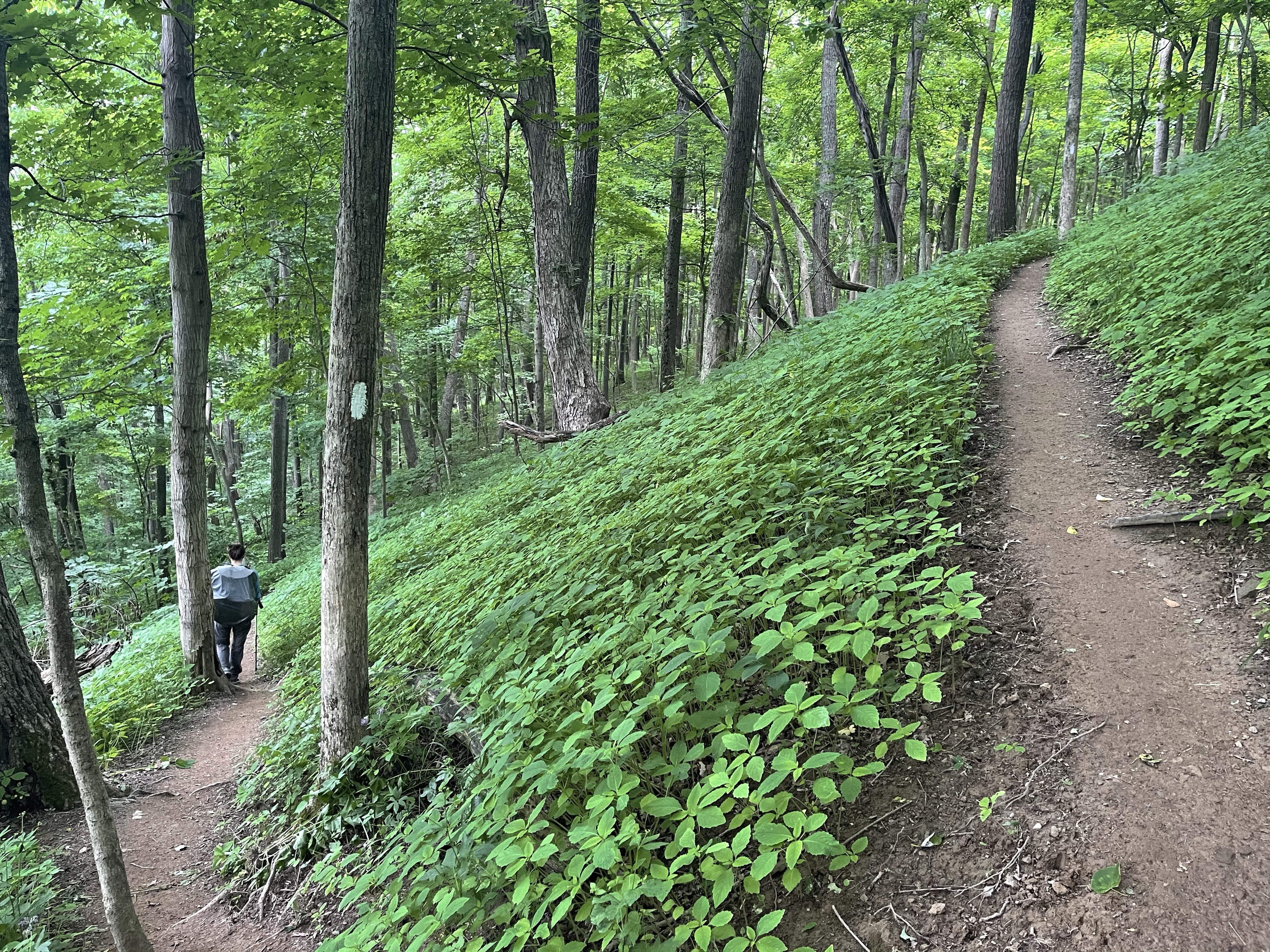
We hung here for a little bit and then we started back down some of the hardest down hill terrain I think we have had so far.

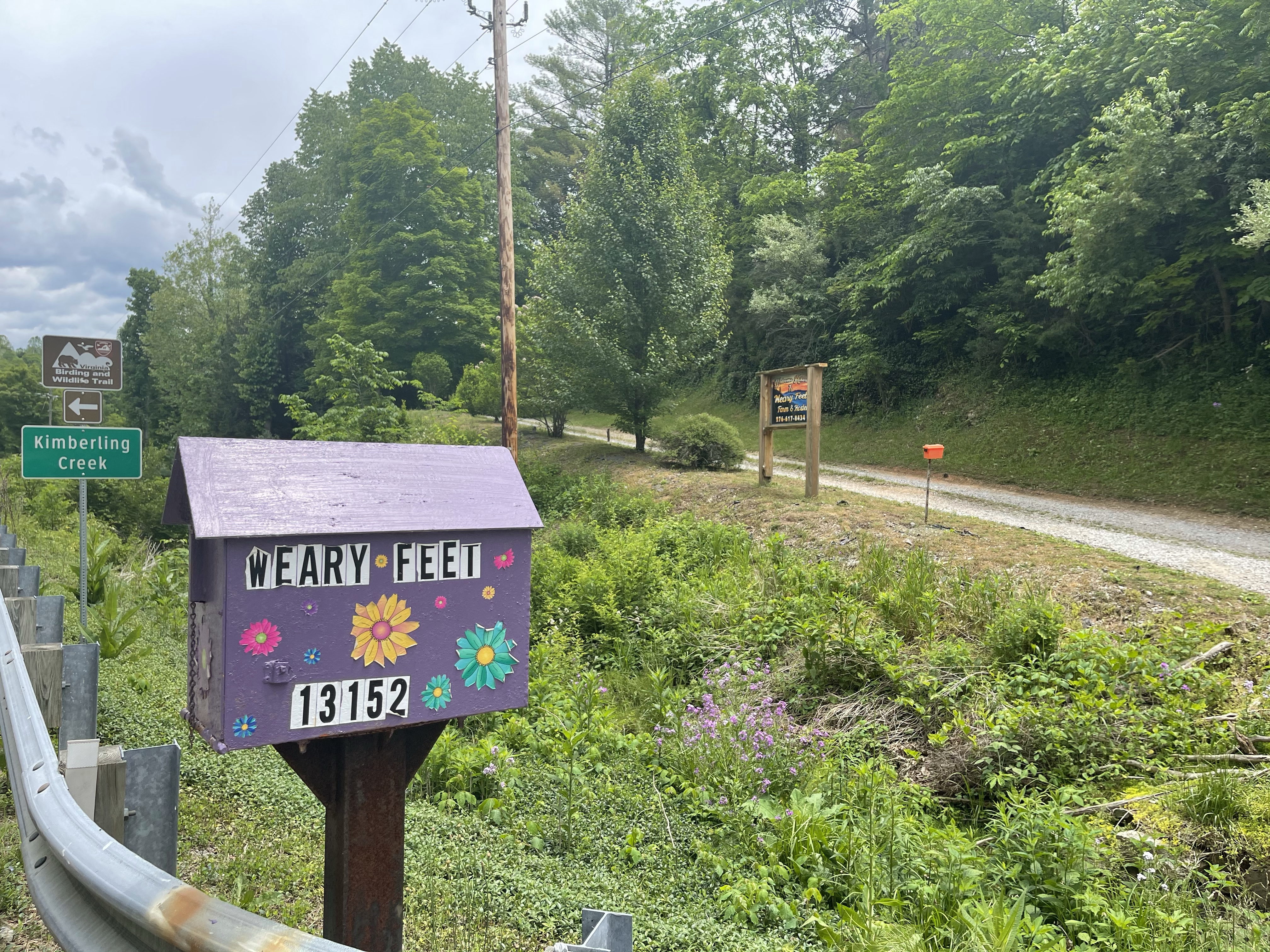
Oh my! Because I am trying to block this place from my memory, I am it going into any details at all about this hostel!!

Mad scientist, out!

AT Thru-Hike Day 56

VA route 630 (2,152 feet) mile 678.5 to VA Route 621 (1,538 feet) mile 689.3 for a 10.8 mile day! We ascended 1,851 feet and descended 2,484 feet!

We started out the day with an amazing site, the Keffer oak tree, a 300 year old oak tree on the outskirts of a field of Silver Hair grass that was being cut for hay. The tree is one of the largest white oaks on the AT! It’s circumference is 235 inches and it is 56 feet tall. This means that when troops from the union and confederate armies marched through this area during the civil war, this tree was already 140 years old!!

We continued on our daily adventure and came to a weird site after our big climb for the day. On our AT map app, these rock formations were labeled as, Bruisers Knob Cairns, cairns are used, a lot of times to mark trails, and sometimes they would be used to store food. I am not 100% certain what these were used for but it appears that there are a number of large apple trees along this ridge, which could suggest that they were used to store apples.

After walking a bit more we came to an area that is referred to as, Ledges. The ledges was basically a place where the trail designer thought it would be cool to send the hiker out on a ledge of rock that was sloping at a pretty good angle. What did this mean for us, the hiker, well, it meant one wrong move and, bye bye!! 👋🏽 I was so grateful that the day we came to the ledges it was not raining, this could have been a bad bad thing, for sure!!

From this picture, it is really hard to tell how bad it really was, so, take my word for it, it was bad!!

Now, next, we came to a spot that I found to be a little odd, I will explain. A little over half way through this day we found ourselves standing at a point in the middle of the woods, on top of a ridge line we had been walking for hours, we were looking at a sign that said, “Eastern continental Divide, <——Gulf of Mexico 1,920 miles Atlantic Ocean 405 miles—>”

We sat here and ate our lunch, I called a local running store to see if they had a pair of Hoka Speed Goats in my size and they did, so James, Kelly’s husband, stopped by the store and picked up the shoes for me.

After lunch we started hiking down hill, it was a long downhill but we had a super cool sight while on our way down. Standing not far from the trail at one point was a momma deer and her fawn. As we approached, the momma decided she was cool with us so she just walked a little farther away from the trail. The fawn, it wasn’t sure what to do, so it ran a short distance and then decided it would “hide” behind a log! Hahah

After this wonderful sight, we continued our climb down the mountain. We got about a mile and a half from where we would setup camp for the night and we grabbed some water. We left our bags at the intersection of the white blaze and the blue blaze, remember, blue blaze is a side trail off of the AT that usually leads to water or a shelter/campsite. We left them here because James has a tendency to walk in for a mile or two to meet us and then we all walk back down. Well, sure enough, we got back up after getting water and there he came, be bopping up the trail with Pickles.!

Getting back down to the bus, we found a large trail magic celebration going on! James said there was trail magic but we were afraid it would be gone by the time we got there, but it wasn’t!! This was trail magic like never before, hamburgers!!! James made a loaded Mac and cheese to add to the feed and it was a huge hit!! Salty and Were the trail angels for this magic, they were both through hikers who were injured and came off trail. Now, they are doing trail magic until they are well enough to get going again.

Salty Express or Safety Patrol is what they called themselves!!

AT Thru-Hike Day 55

Big Stony Creek Road (2,461 feet) mile 659.1 to VA route 630 (2,152 feet) mile 678.5 for a 19.4 mile day! We ascended 5,065 feet and descended 5,103 feet!

Wow!! Today was a totally unexpected day. Today is one of those days that I learned that the Appalachian Trail is not forgiving, it’s not kind, and it’s definitely not gentle. Today the AT kicked my butt! Today the AT reminded me that if I wanted to make it to Katahdin, Baxter State Park, Maine, I was going to have to suck up, any emotions, any pain, any desire to quit, and press forward. Take the hills, up and down, and just listen to them, they will tell me what I need to do to conquer them. That is exactly what I did and I am now 20.4 miles closer to the finish because of that!

Now, you may have just scrolled to the top to double check what you read earlier, as you should. But, I am not pulling a fast one here, no, you see, what happened was, Kelly dropped her phone somewhere behind us, and now we must find the phone. Kelly remembered checking the time at 8:43 am and it was now 8:51, so we knew it wasn’t far behind. Well, we walked about a half mile and Kelly found her phone!!! So, that is where the extra mile came in.

We hiked on after finding said phone and then came to Wind Rock, a rocky outcropping with views to the North of a lot of green trees!

This view looks out onto Peters Mountain, the path of the Union troops as they returned to West Virginia. Just to the south of here is an area called Minnie Ball Hill. According to Appalachian Trail Guide to Central Virginia, Rutherford Hayes had his men dump out musket balls (Minnie balls), to lighten the load on their wagon train to keep them from sinking in the mud.

We hiked on after a short snack and water break. Water is still not too plentiful so we have to ration the water as best we can. It was a rocky day and a day full of up hill climbs!

There were a few views from these climbs so they weren’t totally pointless! The biggest climb of the day was the 1,800 feet up to Kelly Knob where this partial view was found .

I will be honest here, I struggled up this hill today! My feet were killing me!!!! It’s past time to be getting some new shoes! Suzanna is bringing them with her on Thursday and that day can’t get here fast enough. I am hoping the new shoes gets me right with the distance and takes away some of, if not all the pain.

Now that I’m up on that mountain, it was time to come back down. On the way down I finally got some fresh water at a nice flowing stream.!

Reaching the bottom I came into the most beautiful scene, it was a pastoral scene out of a movie or some great landscape paintings by Bob Ross… if he did those.

This was the last mile and a half and I slowed way down and took my time passing through so that I could enjoy it fully and take it all in.

Getting to the campsite for the night, James had made us some chicken quesadillas and they were amazing and hit the spot!! The van life is a great life if you know how to do it, and this is the way it’s done. A camper van following along daily would make this a different trail!

AT Thru-Hike Day 54

Rice Fields Shelter (3,354 feet) mile 644.2 to Big Stony Creek Road (2,461 feet) mile 659.1 for a 14.9 mile day! We ascended 2,294 feet and descended 3,151 feet!

Today was a surprisingly tough day. There wasn’t really any major climbs that went on for long but there were lots of rocks, big ones, little ones, medium size ones, some moved, some stayed still, while others were just there to trip you or poke you in the feet. There was a lot of down hill though, and these two things in a day cause major pain in my feet. Today I ordered a new pair of shoes, it is probably beyond time, but, it’s done. I went with a different brand all together to see how their design helps my feet. I’m being told by many folks that the Hoka Speed Goat is a great shoes that helps lessen the work in the calves. Once I get these feet figured out, watch out!

I woke up this morning and finished yesterday’s blog and posted it while I still had decent service. I just knew when I went down off this ridge that I would lose service, and sure enough, I did! This was the view this morning when I unzipped my tent.

Today, we passed a cell phone tower, which would explain the cell signal! We also passed a power transmission tower, and attached to one of them was a weather station and a camera, which I assume was to show pictures of the sky from the “sky cam”.

This section has been very dry, no creek crossings to get water from, nor are there any springs. Around 6 miles or so into the hike today we finally found a spring, it was flowing at about 1 liter per 2 minutes. Another thing I have learned out here on the AT, patience.! Sometimes things don’t happen quickly, well, actually, things never happen quickly! Things aren’t always the same out here either, I mean, yesterday it took us eight and a half hours to do 15 miles, some days we can do that in 6 hours.

I had to explain this to my buddy Tom who stopped by on his way back to Charlotte from New York. It was great to see him after two months! He met us at a road crossing and brought us into town so we could sit down and eat as much food as we could instead of eating a pouch of dehydrated food, as good as those are, it was great to get some of the best BBQ I have ever had in Pembroke, Va., at Bluegrass Barbecue! Tom had been in New York for six weeks working, which he has done this time of year for the past few years.

Thanks again, Tom, for taking time out of your drive to sit with, and be seen with, some stinky hikers and eat!

Oh, and if you’re ever in Pembroke, Va. or anywhere near it for that matter, do yourself a favor and stop in at Bluegrass BBQ!!

AT Thru-Hike Day 52

A tent site (3,917 feet) mile 620.6 to Woods Hole Hostel (3,175 feet) mile 625.5 for a 4.9 mile day! We ascended 605 feet and descended 1,043 feet!

Today was a super short day! We had planned on staying at Woods Hole Hostel, just because it is a staple of the Appalachian Trail, well, we didn’t know we would get here this quickly. Haha

But, in the process we saw a great view and some amazingly beautiful flowering flame azaleas!

The we climbed out way up and down to a road. We turned right on this road and drug ourselves down the half mile to the amazing, Woods Hole Hostel.

Built in 1880, it is a hand hewn chestnut log cabin with not just the main home as a cabin but a second out smaller cabin out the front door.

The bunk house, is actually older than the main home, it was built in the 1840’s!! The hostel is set on 100 acres and Tillie and Roy Wood opens the bunk house in 1986 to through hikers, now their granddaughter Neville continues the legacy. At the hostel. Before dinner, a circle of gratitude is made, each person tells their trail name, where they are from and one thing they are grateful for, then a communal dinner is served with fresh green salad from the garden out front, fresh bread, and a delicious entree, today was Mexican Lasagna!

Good night all! Mad Scientist out!

AT Thru-Hike Day 53

Sam

Woods Hole Hostel (3,175 feet) mile 625.5 to Rice Fields Shelter (3,354 feet) mile 644.2 for a 18.7 mile day! We ascended 3,937 feet and descended 4,701 feet!

What a day! We woke to freshly ground coffee and a wonderful view of the garden and mountains in the distance at Woods Hole Hostel.

Mmmm

After pouring a cup of coffee I sat on the porch with Mountain Sage. He was an interesting hiker, with a great heart and an amazing service doggo named “Sam”, oh, that was his casual name, his commands name was different. In other words, when MS wanted to give commands to “Sam” to work, he called him by his other name, I just don’t remember it. You see, mountain sage has Parkinson’s, and his trembles keep him from doing a lot of things that we take for granted, signing a Trail journal at a shelter or hostel for instance. Setting up his tent is more difficult with the trembles too, but MS pushes through and does it nonetheless! Well, today, MS was going to be on the phone with a company in California that makes a device that he can wear that will allow him to control his trembles and may even allow them to be turned off completely!!! So amazing!! He was super excited about it last night as we were on the phone with the company making an appt for today’s call. I wasn’t going to be around but want to check in and see how it went!

After coffee on the porch came the most amazing breakfast!! This was after the huge meal last night with salad, fresh from that garden, Mexican lasagna and fresh bread! Sorry, back to breakfast!!

Someone had already taken an OJ and messed the AT logo up. There was more bread, eggs, a bread pudding looking thing, a oatmeal baked dish, and oatmeal with all fresh topping options, oh, and fresh apple butter!!!! Did I mention the fresh bread??

Double mmmm

Anyway, now I’m hungry!

We hiked the .5 miles out of the hostel back to the AT and then hiked up from there to check out the shelter on the way, it had a deck and Adirondack chair, of course we had to stop!

Birdie Chillin

We kept going from here, we couldn’t wait around for too long because it was going to be a long day.

We came up to a great view of parts of Pearisburg, Va. the next town we would walk through, or later we found, we walked near. Sorry, but, I’m in this picture!

From here we hiked on to our lunch spot, Angels Rest, for obvious reasons, that’s where angels rest. This view was of Pearisburg, Va. in fact, this view played a roll in the civil war. From the book, “Hiking Through History” pg. 36, written by Leanna Joyner a 2013 through hiker, it says, “ In Rutherford B Hayes May 8 diary entry, he wrote, ‘spotted a confederate officer with a large spyglass examining the village from a high mountain whose summit, two miles distant, overlooks the whole town.’”Here we sat, not looking through a spyglass but nonetheless examining the town below as well as the mountains we were about to hike up to.

After nearly losing my shoe over the edge of the rock I was enjoying lunch on, I like to take them off at lunch and left my feet rest, we moved on to the remaining 10 miles. Oh, details, I kicked my shoe off, not thinking about the angle of the rock, and it rolled several time before coming to a stop right on the edge of the rock, which had a 12 foot drop to another slope, the side of Pearis mountain!!

We finally made it to camp around 7:15 or so, but just in time to attempt to watch the sunset.

AT Thru-Hike Day 51

Jenny Knob Shelter (2,598 feet) mile 603.7 to a tent site (3,917 feet) mile 620.6 for a 16.9 mile day! We ascended 3,290 feet and descended 1,702 feet!

Today was a cool day. We took off a little before 9 am and as we were hiking Kelly found a newer hostel that was about .5 miles off trail, but, it had hot dogs, hamburgers, and cheese fries, so, it was worth the half mile, or at least so we read.

We hiked the 5 miles to the “exit” where we ran into a couple that had just hiked to “Dismal Falls” and was climbing back in their car. They asked us where we were headed and such and then after we explained, the told us to get in the car, they wanted to drive us there. We chatted with them for a bit and found that they had met several other hikers, YouTube hikers, and bought them dinner! All we got was a ride for a half mile, geez. Haha just kidding, we were super grateful! We got to Weary Feet Hostel,

and the front door was open. Upon entering the house, we found a room off to the right that was a dining room area of sorts and there was an area set up to place orders for food. I ordered a hamburger, hotdog and French fries, with a lemonade to drink. It hits the spot after hiking, but, after eating, yeah, not so much! I was a walking zombie after eating all of that food!

After pulling ourselves back together, we started the half mile hike back to the trail and headed north again! We hiked another couple miles and then saw the blue blaze to get us to Dismal Falls.

After paying a quick visit there, we pressed on to our tent site. But, not before a massive climb! It was basically 1000 feet in 1.8 miles! There is nothing simple about that, at all! We can do this stuff every single day but sometimes they still sneak up on us and kick us in the teeth!

Setup my tent, made my food, petted River, a yellow lab who joined us with his owner, Goldie Locks, then I passed out! Problem, I sent my quilt home with Suzanna and only have a small narrow sleeping bag liner, and the last two nights, I have frozen my butt off!

Mad Scientist out! 🤟🏽🤙🏽

AT Thru-Hike Day 50

VA Route 612 (2,599 feet) mile 592.6 to Jenny Knob Shelter (2,598 feet) mile 603.7 for a 11.1 mile day! We ascended 2,289 feet and descended 2,280 feet!

So today I said goodbye to Suzanna, but first, we took some time to hang in our hammock.

After a fun day of vineyard visiting and restaurant hunting, in a small town in the mountains of Virginia, we found a restaurant to eat at, but it was definitely not what we had in mind.

The first night in town, Saturday night, we managed to get a seat at Bolling Wilson Hotel. It was nice to sit down for a date night with great food and drinks with Suzanna. That and Elijah staying the week with me has definitely two of the things I have missed while I have been away.

So today, Memorial Day, after our hammock time and goodbyes, which are always bitter sweet, I hiked 8 miles in 2 hours and 47 minutes, slack pack, to meet Kelly. Slack pack because Kelly had already hiked this section with her sister in law and they were driving their bus to get food and then drop Kelly of where I would be meeting her. Just before meeting Kelly, I crossed the 600 mile mark!!!

After finding Kelly, asleep leaning against a tree with her hat pulled down over her eyes and face, I rested for a few minutes and filled up on water. This water fill up was different though, you see, we have had very little rain and therefore most of the streams and springs are dry. Trail Angels, will stop by road crossings, and put out gallon jugs of water or even, sometimes, individual bottles of water for through hikers.

We refilled and pressed on to the Jenny Knob shelter for another uneventful, no long range views day in Virginia!

AT Thru-Hike Day 49

Jenkins Shelter (2,246 feet) mile 580.5 to VA Route 612 (2,599 feet) mile 592.6 for a 12.1 mile day! We ascended 2,550 feet and descended 2,344 feet!

Today was a relatively short day, but it was a happy one!! Today Suzanna was coming to town to spend the weekend with me! This meant no breaks, just lots of fast walking!! It was awesome, James, Kelly’s husband, made bagels and brought us a bunch of them, he even made fresh cream cheese!!

It was really an uneventful day, not much for long range views, but some nice under canopy views. We pushed hard and walked fast. My feet have been feeling really sore and tired by around 12 miles. I need to start stretching more so they will not hurt as much so soon! I’d love to be able to start doing 20 mile days soon as a norm!

Right now, we are trying to do 16 miles minimum per day, if we are feeling up to more at that point, we decided and live with that decision.

Today was no different than the rest, except there was not a lot of high long climbs. Most of the climbs were shorter in elevation gain and in distance. I don’t remember who maintains this section of trail but they do a good job on their switchbacks. These help the climb today seem a whole lot more bearable.

We later passed over the beautiful, Laurel Creek! It had an amazing bridge over it with nice cascades and a sound that would put anyone to sleep, but, there were no campsites here and we had a bigger goal, get to our people at the Interstate.

We continued on up the hills and back down then again, it’s the way of the AT! We hiked down passed power lines

and onto a road that lead us to interstate 77.

Passing from near Bland, Va. to Wytheville, Va., which is where we had a hotel reserved, I noticed what seems like a unique landscape that we are walking through. If you look at this area on Google maps or Google earth, you will see that the Appalachian mountains in this area have broken out into four lines of smaller mountains, these are the ridges we are walking.

Mad Scientist, out!

AT Thru-Hike Day 48

Lynn Camp Creek (2,373 feet) mile 561.5 to Jenkins Shelter (2,246 feet) mile 580.5 for a 19 mile day! We ascended 4,554 feet and descended 4,480 feet!

A new longest day with a full pack for me today! The day started with a 700 foot climb out of camp, that climbed was followed by a downhill that rolled right back into another climb, this time, 2,135 feet!! Here is the great thing about this one though, this wasn’t a pointless up and down, it lead to the Chestnut Knob Shelter (4,407 feet), what’s special about this shelter besides that elevation? Well, for starters, it is an enclosed shelter with four walls and a door. This shelter actually used to be a fire wardens cabin. The fire tower has been torn down but the cabin was converted to a shelter with 8 spaces for sleeping.

Chestnut Knob Shelter

But, the most impressive thing about this shelter, is its view. See this shelter over looks an area called Burke’s Garden, which sits inside of a fascinating geological formation. It’s inside of a limestone sinkhole! This is not just any sinkhole though, it is and 8 mile by 4 mile crater. At first glance, I thought it was at one time a volcano. I have no phone service but want to check this fact at some point.

We sat here for lunch just enjoying the view… until the rain started pelting me in the back. We didn’t run for the shelter though, nope, we started hiking! From this point, we started a 12 mile dry run, meaning there is no water sources available for 12 miles.! I also noticed, because the trail is on the backside of the “crater” for a 8 miles around, there are no campsites for about 10 miles, the mountain is too steep on both sides to put up a tent. A ton of good hammock places though, but no water!

The only water that was available today was coming from the sky! It rained so hard and the wind blew so hard, it was a real toad strangler!! I later saw a frog hopping for its life, it was raining hard!

As we marched closer to our shelter for the night, needed a dry place to eat, I saw a sign I have not seen before. Well, I have seen a similar sign but not with these words.

hang gliders??? I guess the sign is there for a reason, someone must have gotten caught hang gliding!